Interesting information
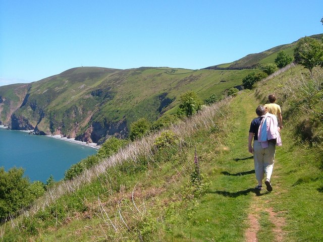
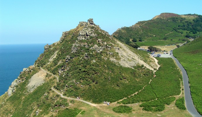
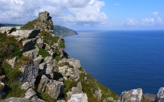
Some of the highest cliffs in England are found on the Exmoor coast in North Devon. At Countisbury, a little way to the east of Lynton and Lynmouth, a point of 302m, or virtually 1,000 feet, is reached at Butter Hill. This walk is based on Lynmouth and takes you to Countisbury by a (relatively) pain free route, returning via the South West Coast Path.
The harbour was built in the 18th century for the herring fishing industry, important at the time. Not long afterwards the town was being discovered as an “exotic” location by the romantic poets. Shelley had a cottage here in 1812 and both Southey and Coleridge were enthusiastic in their praise for the town. Note the so called Rhenish Tower, built in imitation of similar towers on the Rhine and used to store water for the indoor baths.
At the bridge is the confluence of the East and West Lyn Rivers. The great flood disaster of August 1952 occurred when torrents of water swept down the two valleys following hours of torrential rain, sweeping away almost everything in the valleys. The flood resulted in the loss of 31 lives.
East Lyn formed by the combination of two moorland rivers, Oare Water and Badgworthy Water, high on Exmoor. The valley of Badgworthy Water is known in literature as the valley of the Doones in R. D. Blackmore’s classic “Lorna Doone”. The erosive power of the river over the ages can be seen from the depth and steepness of the valley, or “cleave”, it has cut ahead.
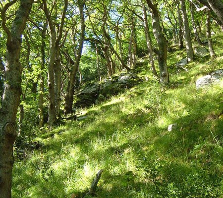
The Cleave is a designated Site of Special Scientific Interest, primarily because of its importance as an area of ancient oak woodland, one of the largest remaining areas of semi natural ancient woodland in the South West.
The power and speed of the river can be exhilarating when the path comes close alongside. It is perhaps surprising that the valley once was the site of industry – along this stretch was one of Britain’s first hydro-electric power stations until it was destroyed in the 1952 disaster. Also destroyed were the disused works of a mineral water factory. Some remains of these old buildings are still just discernible on the path. The path climbs through the oak woodland, up the side of the cleave.
The steady climb continues, the trees now less dense as height is gained. Notice the thick covering of lichen on many of the trunks, a good sign of clean air.
Arnold’s Linhay path got its names as linhay is an animal shelter and Arnold is said to have pastured mules and donkeys in paddocks around here in the 19th century.
Eventually the path stops climbing and emerges from the trees. Far below, to the right and back, can be seen and heard the East Lyn River. The sinuous shapes of the wooded cleaves cutting deeply into the surrounding high land can also be seen from here. Immediately below the path on the right is a side valley of the East Lyn, known as Chiselcombe. Scree can be seen in this valley, probably the southern-most example in England of material deposited by glaciers in the last Ice Age. The scree gives the valley its name, “Chisel” being a Saxon word for gravel, or rocky ground.
The Inn dates to the early or mid 1600s, and may possibly incorporate an even earlier core. It has been partially rebuilt and extended many times in the 18th, 19th and 20th centuries. It has always occupied an important location as a staging post at the top of the extremely steep Countisbury Hill out of Lynmouth.
The small and atmospheric parish church of Countisbury is well worth paying a visit. Probably of medieval origin, the current church is largely the result of 18th and 19th century rebuilding. It occupies a splendid location on the cliffs.
The view down the coast to Lynton and Lynmouth is absolutely wonderful, and well worth the climb. The high point just above the seat, Butter Hill, at 302m or 997 feet is the highest point on the South West Coast Path and among the highest cliffs in England.
Countisbury is the site of prehistoric hill forts, both east and west of the church and pub, and is also said to be the site of a defeat of the invading Danes by the Saxons in 878. The relationship of Lynton and Lynmouth, the former sitting on its hill above the latter, is easily seen from here and the gash in the cliff face of the cliff railway is also obvious. There are also superb views of the cliffs, both ahead and back towards Countisbury.
It is well worth looking up the cliff from the beach to see just how high the walk reached and how much you have descended.
Its is a good location to appreciate the cliff railway. Opened in 1890, it was originally intended to carry freight brought in by sea to Lynmouth harbour. It was financed by Sir George Newnes, a famous publisher who lived locally. It rises 131m, or 430 feet, at a gradient of 1 in 1 ¾ and is powered by the weight of 700 gallons of water in a tank beneath the descending car, which is discharged when it reaches the bottom. When the other car reaches the top, its own tank is filled, a simple but effective system.


