Interesting information
Although it has a 13th century tower, and parts of the church date from the 18th century, most of Lynton church was substantially rebuilt in the 1890s an early 1900s.
This coincides with the town’s main period of growth, when the old church was outgrown by the developing town. Nevertheless, the internal fittings are highly regarded.
The town was little more than a hamlet until late Victorian times. It began to grow in popularity as a result of its dramatic location in the early 19th century, but access remained very difficult until a narrow-gauge railway reached the town from Barnstaple in the 1890s. It then grew rapidly, and the architecture now reflects this period of growth during the late Victorian and Edwardian periods.
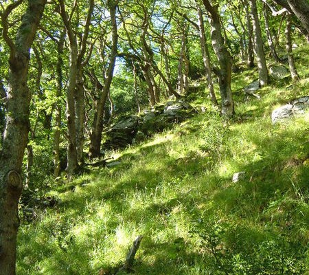
The woodland forms part of an important wildlife area, the West Exmoor Coast and Woods Site of Special Scientific Interest, supporting valuable areas of ancient oak woodland, coastal lichen flora and a rich bird population.
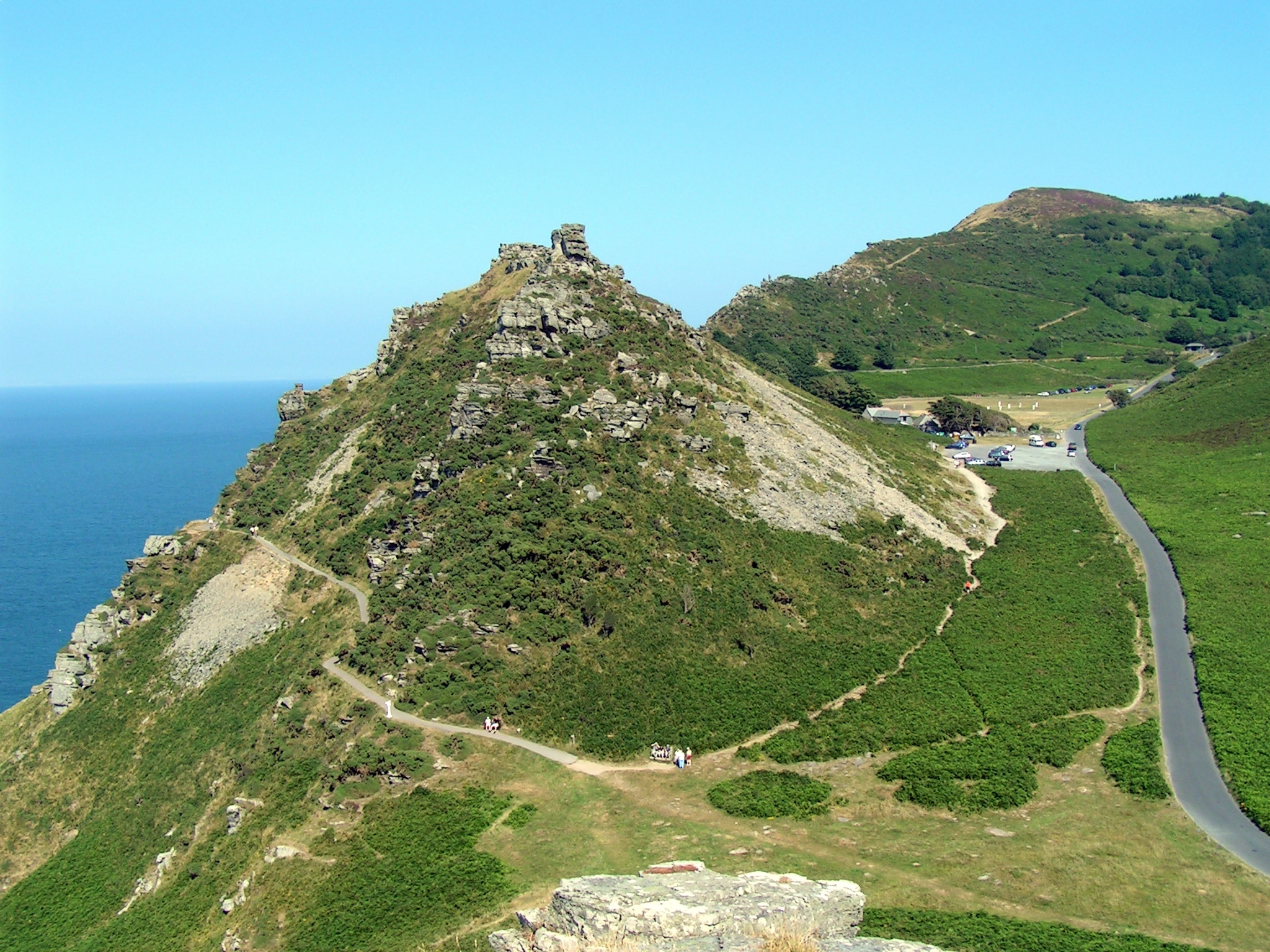
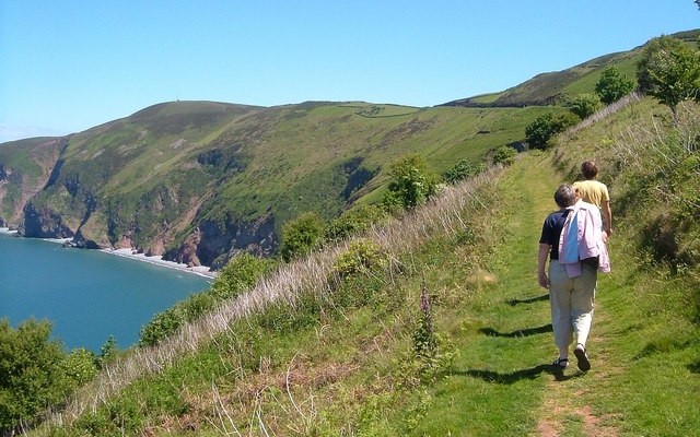
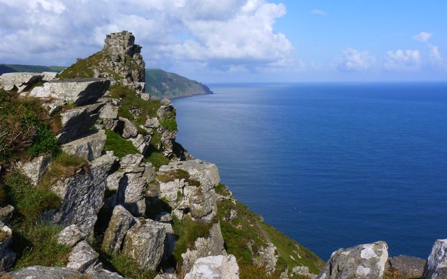
Superb views open up to the sea and to the right over the high land of Hollerday Hill and back to Lynton. As the path bears round to the left the views become ever more spectacular. Far below is the Valley of Rocks, flanked to the seaward by the craggy landmarks of Castle Rock and Rugged Jack. Ahead is Woody Bay and, on the nearer headland, the landmark of Duty Point Tower. This is a mid 19th century folly – whether there ever was actually a “duty” associated with the location is unknown, although it does occupy a commanding position.
The imposing sight of Lee Abbey comes into view. Behind is the little inlet of Lee Bay with the larger Woody Bay beyond.
The West Exmoor woodlands dominated by sessile oak, the woodlands also include birch, rowan, holly and hazel and the moist, clean air has also encouraged ferns and lichens. In addition, the variety of habitats in the woodlands has given rise to a diverse breeding bird population.
The walk reaches the South West Coast Path, which follows this minor road. If you fancy a dip, or a sit on the beach, the path to Lee Bay is down the track opposite.
The site of Lee Abbey was originally owned by the Cistercian monks of Forde Abbey in Dorset, but has never itself been an abbey. The site passed to the family of a Barnstaple merchant in the 1550s, and they built a farmhouse here. By the middle of the 19th century it had passed to a Charles Frederick Bailey, who built what he called Lee Abbey, incorporating the earlier farmhouse. Later, the building was acquired by a Christian fellowship, and from 1966 onwards the building was adapted and extended as a conference and residential centre.
The Valley of Rocks, seen earlier from the high flanking cliffs, is now experienced at close hand. It represents the residue of the bed of the West Lyn River, which used to flow this way to the sea until the cliffs at Lynmouth were breached and its course shortened.
You will almost certainly see some of the goats for which the Valley is well known. In fact, the Domesday Book entry for Lynton in 1086 records 75 goats. After these herds were lost, they were later reintroduced to help graze the rough pasture of the Valley. The present herd dates from the second half of the 20th century when three feral goats were introduced from the Cheviots in Northumberland. They now number over 100.
The path is superbly sited on the cliff, some 130m/430 feet above the sea. It gives breath taking views over the Bristol Channel to the Welsh coast.
The cliff railway dates from 1890, when it was originally built to carry freight brought by sea to Lynmouth Harbour up to Lynton, although it soon became a tourist attraction. It was financed by the publisher Sir George Newnes who had a local property. It is powered by the weight of water, 700 gallons of river water filling tanks underneath the car at Lynton Station at the top of the railway. The weight of the water takes this top car downhill and draws the lower car uphill on the continuous cable. When the water filled car reaches Lynmouth at the bottom the tank is emptied and the tank of the other car, now at the top, filled.


