Interesting information
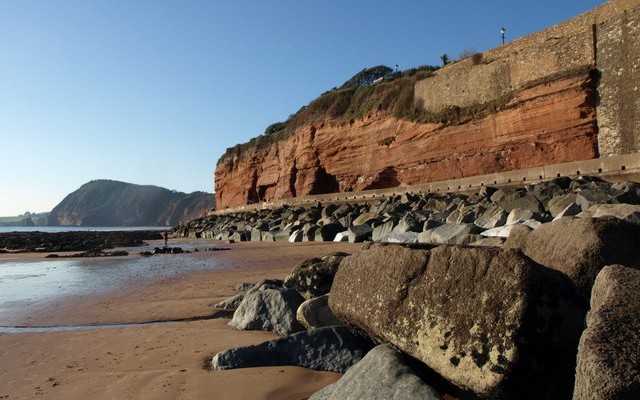
The World Heritage Site shows the natural geological progression over 185 million years of earth history in just 95 miles, all of which can be accessed via the South West Coast Path.
Sidmouth began to develop as a destination for “discriminating visitors” around 1800. Its popularity was a result of its climate and surroundings, and this was heightened when the Napoleonic Wars meant that the well-to-do could not do the European “Grand Tour”. Its reputation was enhanced by the stay of the Duke and Duchess of Kent and their infant daughter, the future Queen Victoria, in 1819-20.
Many of Sidmouth’s early developments are along the Esplanade – look out for the blue plaques erected by the Sid Vale Association showing their history. Particularly of note are the Bedford Hotel, originally the Royal Marine Library and dating from 1813; the Kingswood Hotel, formerly the Marine Brine Baths; the Mocha, which dates from 1809; Beach House, probably the first building on the sea front [c.1790] and the Royal York, Sidmouth’s first hotel [1810].
Various attempts to build a harbour here all failed because of storms and during the 19th century the fishing trade continued to decline. In the medieval period Sidmouth had been a port of some importance.
The Esplanade forms part of the South West Coast Path. From the mouth of the river a splendid view eastward along the coast is possible, the geological variations of the Jurassic Coast showing up well.
This is Eastern Town, the oldest part of Sidmouth and the site of the original fishing village. Riverside Road was built for artisans in the early 19th century on former swamp land.
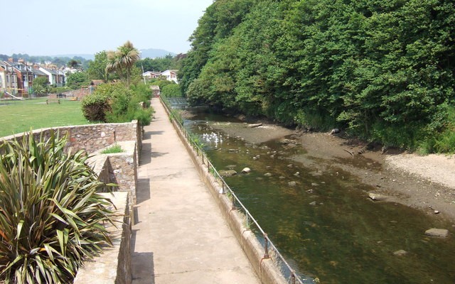
Opposite is a toll house. This was built in 1817 for the bridge built over the river at that date. Previously, the ford was Sidmouth’s only access from the east below Sidford. The toll gate now hangs at the entrance to the Byes, the parkland alongside the river.
The parkland was created by the Sid Vale Association in the late 19th century.
St John’s school was originally a convent, built in the later 19th century.
As the lane climbs it emerges into open countryside, giving pleasant views over the Bickwell Valley. Bickwell Farm, first recorded in 1260, is especially obvious.
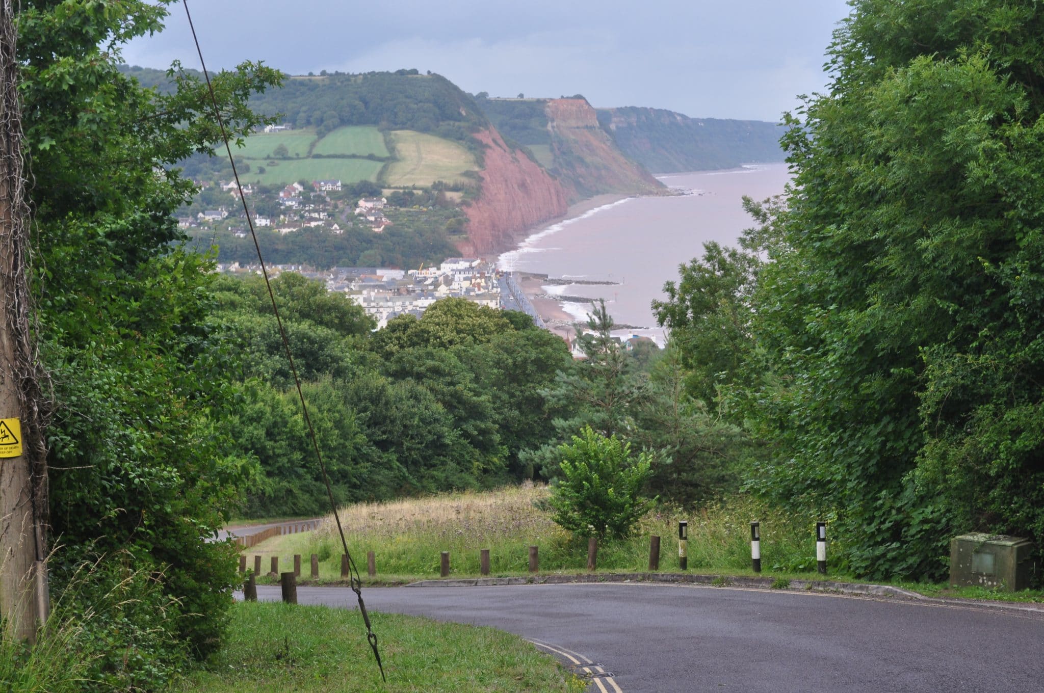
Bulverton Hill is a prominent landmark overlooking Sidmouth, giving extensive views over Sidmouth and the Sid Valley.
Salter’s Cross, and has always been an important junction, even more so in former times when these tracks were much more used as highways. The height that has been gained can be seen from the view through the trees by the seat.
This ridge route is almost certainly of great antiquity. Such routes were the main roads of prehistoric times, when the woodlands and swamps of the valleys made progress almost impossible at lower levels. The route leads to the coast at Peak Hill, where there was a prehistoric hill fort, so must have been especially important.
The hill-top area is known as Mutter’s Moor. It is said to be named after Abraham Mutter, a colleague of the notorious 18th century smuggler Jack Rattenbury. Mutter was a turf cutter who cut turf for fuel on these heaths and hid brandy in the loads which he carried down to the nearby towns.
The prominent pointed shape of High Peak, the summit of Peak Hill, can be seen ahead and to the right. This was the location of the prehistoric hill fort and was later occupied during the Roman period and in the Dark Ages.
Beyond High Peak is a superb coastal panorama stretching over the western end of the Jurassic Coast towards the mouth of the River Exe and then beyond to Tor Bay.
The picturesque Peak Cottage, originally a farm cottage, was embellished as a well-to-do residence in the 19th century.
Originally there was a donkey track from the beach to the cliff top, where there was a lime kiln. The track was washed away and replaced by steps which also eroded away and so in turn were replaced by a ladder in the late 1800s. The ladder was itself replaced by a substantial staircase, of which the present structure is the third replacement. The current tarmac footpath on the right was made in the 1950s.
The old lime kiln at the top was increasingly embellished until it became the Clock Tower and incorporated into Connaught Gardens, laid out for public use in the 1930s. In the Second World War the Clock Tower was used as a lookout and a gun pillbox erected.


