Interesting information
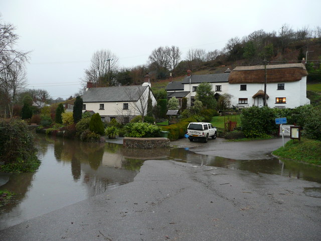
Weare Giffard is a long, picturesque village on the floor of the Torridge Valley. The village has a pub.
The railway from Bideford to Torrington was completed in 1872, and gave the town a direct link all the way to London. Beyond Torrington a narrow gauge mineral line extension was built to the clay quarries at Meeth and Peters Marland, and this was rebuilt as a full-size passenger railway in 1927. All passenger services ceased in 1963, and clay traffic in 1982. Since then, the line has become transformed into a cycle and walkway, part of the Tarka Trail. It is also suitable for pushchairs and wheelchairs, which can use it for many miles in both directions from Torrington Station.
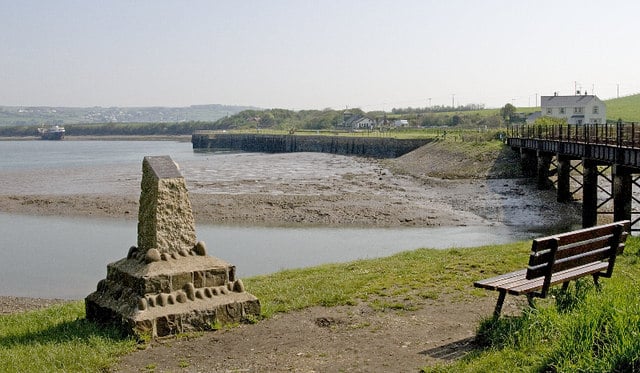
For those interested in the Tarka story, it is worth diverting to the right along the Tarka Trail for a short way to the next Torridge bridge. Along this part of the walk Beam Aqueduct can be seen, which carried the Rolle Canal over the river. It was in the shadow of this aqueduct that Tarka was born.
Taddiport bridge is said to be medieval (13th century), but has also been attributed to the 16th century. Originally it carried the main road to Torrington from the south.
The old toll house is next to the bridge. Cross over the road here and take the footpath immediately opposite, known as the Rolle Road. Rolle Road follows the line of the former Rolle Canal. This was built for Lord Rolle between 1820 and 1824 and stretched for 7.5 miles/12 km between the tidal Torridge and Heasland Moor, a little upstream from Torrington. It was abandoned with the coming of the railway in the 1870s, some of its course being used for the railway, but here it was filled in and used as a road. This length of Rolle Road is suitable for cyclists, pushchairs and wheelchairs, although it is a little rough in places. It may be accessed from Taddiport or Town Mills.
The memorial is for the soldiers who died at the Battle of Waterloo. Presented by the ladies of Torrington, it was erected three years after the battle, in 1818, and asks for “peace for the souls of the Heroes !!!”
The wall on the right surrounds the site of Torrington Castle. First documented in 1139, it was destroyed in 1228 but rebuilt, although it later fell into disuse. The walls and mock battlements were added in the mid-19th century by Lord Rolle as an added attraction for the town.
The Town Hall in Torrington was built in 1861 on the site of a previous one, in a Georgian style to go with the rest of the street. It contains the original Shambles yard, once the meat market for the town. While most of the street is 18th century in age and style, there are some older buildings. Notable is the Black Horse Inn, almost opposite the Town Hall.


