Bowling Green Marsh (The Exe Estuary)

About this route

Bowling Green Marsh makes up part of the Exe Estuary, an area of international importance for wintering waders and wildfowl.

Adjacent to the town of Topsham, this is the main high tide roost for the north of the estuary. Large numbers of waders and wildfowl gather here as the tide rises and covers the mudflats, especially in the winter. High numbers of black-tailed godwits can be seen and many widgeon graze on the marsh. Though rarely seen, otters use the site.

Getting Around

By bus: service from Exeter and Exmouth to Topsham (ask for Elm Grove School stop).
By train: The Avocet line runs from Exeter and Exmouth to Topsham.
See Travel Devon for bus and train times.
By bike: Route 2 of the National Cycle Network.
By car: reserve is signposted from Holman Way car park in Topsham.

Facilities
Hide and viewing platform as well as roadside viewing which is suitable for wheelchair users.
Terrain
Accessibility

Interesting information

Bowling Green Marsh is a Site of Special Scientific Interest and Special Protected Area
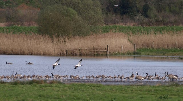
Photo of geese on a lake in marshes
Bowling Green Marsh Copyright Derek Harper (geograph.org.uk)

You can explore more in this area

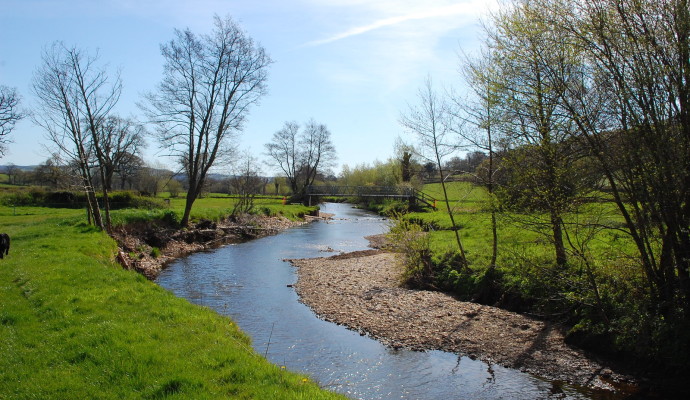
Photo of a stream through fields on the East Devon Way
38miles/
60kms

East Devon Way

This 38 mile/60km path takes you from Exmouth in the west to Lyme Regis, Dorset in the east, and follows
Photo of cyclists on the Tarka Trail alongside the estuary near Instow
16.4miles/
26kms

Exe Estuary Trail

This newly constructed cycle trail offers an almost entirely traffic-free, wonderfully level route which forms part of the South Coast
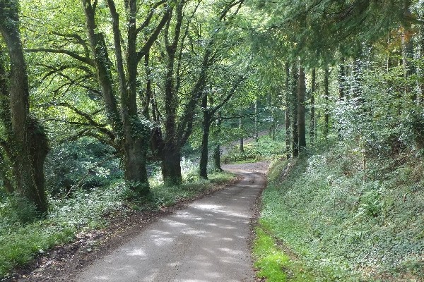
Photo of a quiet lane between trees on the Exe Valley Way
45miles/
72kms

Exe Valley Way

The Exe Valley Way is a long-distance route for walkers exploring the length of this beautiful river valley. The trail
Photo of cyclists on the Tarka Trail alongside the estuary near Instow
16.4miles/
26kms

Exe Estuary Trail

This newly constructed cycle trail offers an almost entirely traffic-free, wonderfully level route which forms part of the South Coast
Photo of a stream through fields on the East Devon Way
38miles/
60kms

East Devon Way

This 38 mile/60km path takes you from Exmouth in the west to Lyme Regis, Dorset in the east, and follows
Photo of cyclists on the Tarka Trail alongside the estuary near Instow
16.4miles/
26kms

Exe Estuary Trail

This newly constructed cycle trail offers an almost entirely traffic-free, wonderfully level route which forms part of the South Coast
Photo of a quiet lane between trees on the Exe Valley Way
45miles/
72kms

Exe Valley Way

The Exe Valley Way is a long-distance route for walkers exploring the length of this beautiful river valley. The trail
Photo of walkers on the Exe Estuary Trail looking through binoculars
2miles/
3.2kms

Exe Estuary Trail: Exmouth to Lympstone

Exmouth to Lympstone is just one section of the Exe Estuary Trail, a multi-use route being built by Devon County
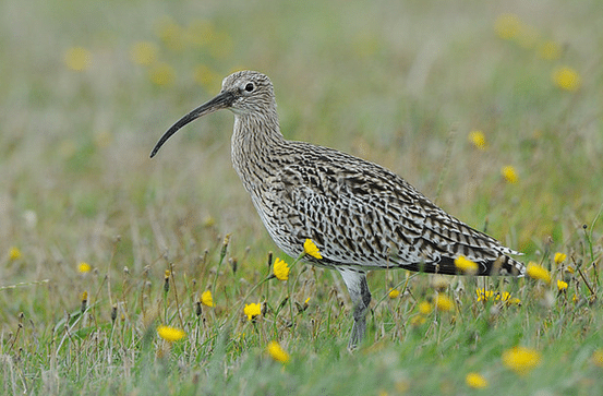
Photo of a curlew in grassland

Exminster Marshes (The Exe Estuary)

Part of the Exe Estuary, Exminster Marshes is an area of international importance for wintering waders and wildfowl. The area
Photo of walkers on the Exe Estuary Trail looking through binoculars
2miles/
3.2kms

Exe Estuary Trail: Exmouth to Lympstone

Exmouth to Lympstone is just one section of the Exe Estuary Trail, a multi-use route being built by Devon County