Westward Ho! Cliffs and Northam Burrows

About this route

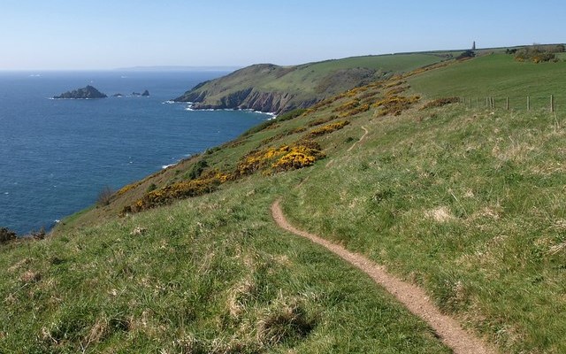
The Westward Ho! cliffs provide a good section of a raised beach platform well above the level of the present beach. This platform and the deposits upon it are very important because they provide evidence of glacier ice reaching the South West peninsula. For example, flint and granite erratics (stones transported by an ice sheet or glacier) are present, as is a deposit of angular rock debris of the kind that flows down slopes during freeze/thaw conditions in the vicinity of ice.

Getting Around

On foot: The South West Coast Path is readily accessible.

By bus: There are bus links between Barnstaple, Bideford and Northam, see Travel Devon for latest times.

By road: From the A39 take the B3236 through Northam and follow signs to Westward Ho!

Facilities
Car parking, visitor centre and toilets at Northam Burrows. For visitor centre opening times call 01237 479708.
Terrain
A mix of terrain ranging from cliffs and sand dunes to a pebble ridge.
Accessibility

Interesting information

Remarkably, there is a submerged forest amid peat deposits that can be seen around the low water mark at the eastern end of the site (SS 432296) off Westward Ho! slipway, at the southern end of Westward Ho! beach. This provides evidence of sea level rise during the Holocene Period and represents the swamping of a coastal forest by the sea about 6000 years ago.

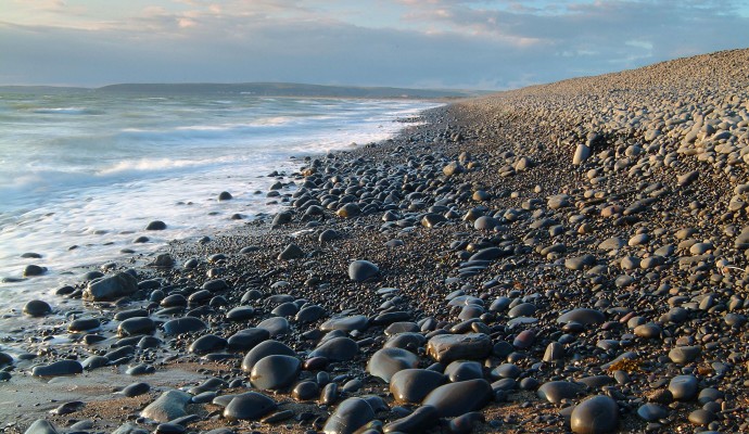
The cliffs of Westward Ho! directly adjoin Northam Burrows Country Park. A grassy coastal plain with salt marsh and sand dunes, this site is of considerable importance for both its wildlife and geology. Of particular note is its famous shingle ridge/spit formed by longshore drift with pebbles coming from further around Bideford Bay, which features some unusually large pebbles. These are made of a hard, fine-grained sandstone that outcrops in the cliffs to the south.

When exploring the coastline please take care and refer to the safety guidance on our ‘Responsible Visitor’ page.

The site is a designated Area of Outstanding Natural Beauty and Site of Special Scientific Interest.
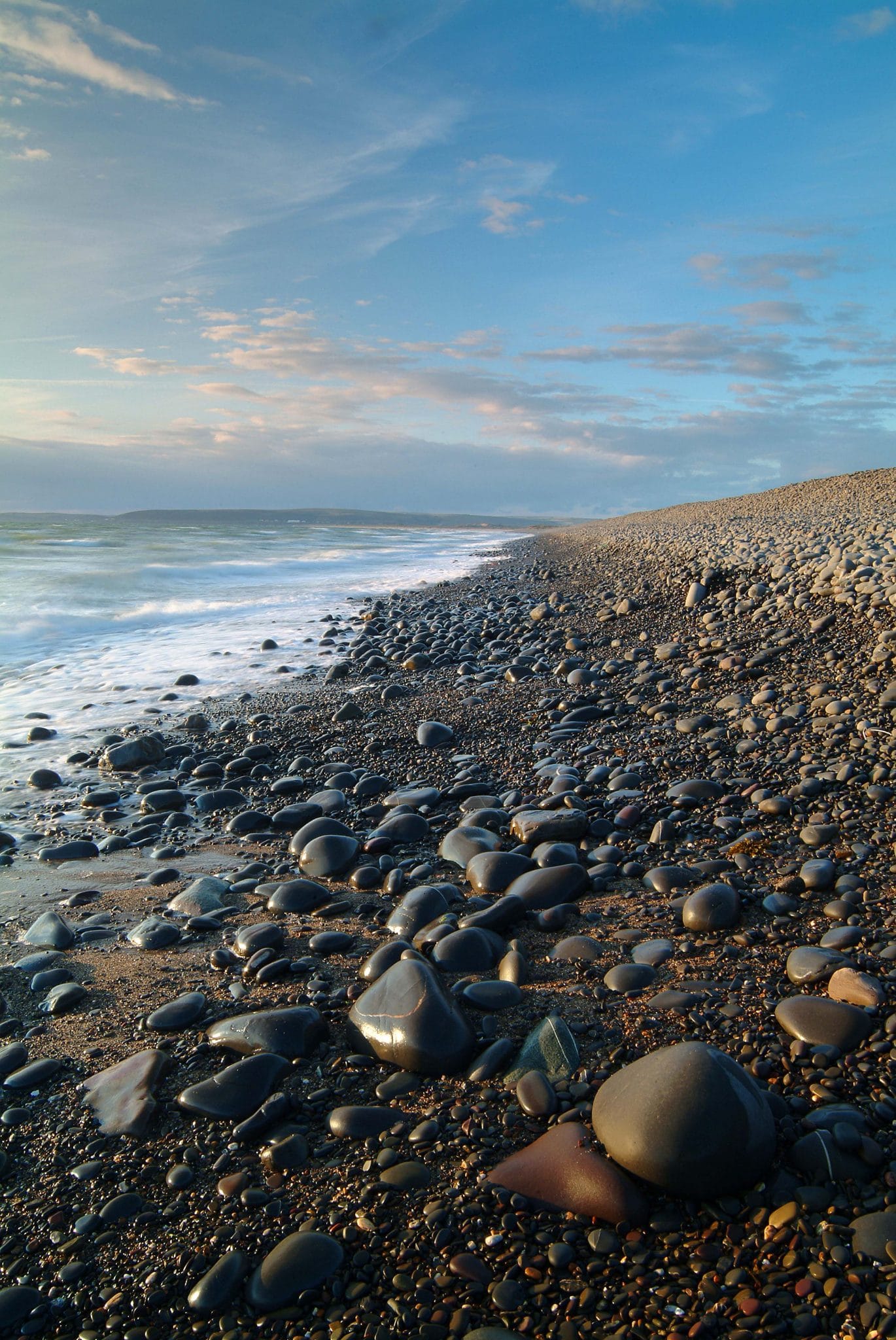
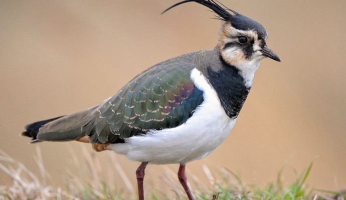
Photo of the shoreline on a pebble beach
Pebble Ridge Westward Ho! Northam Burrows

You can explore more in this area

Photo of a lapwing

The Taw-Torridge Estuary

This extensive estuary has a typical range of saltmarsh communities, with plants such as glasswort, sea aster and sea rush
Photo of the shoreline on a pebble beach
1miles/
1.6kms

Northam Burrows Country Park

The Northern Burrows is a scientifically important area which juts out into the mouth of the estuary. It is a