Brampford Speke

About this route

This site is an ideal and beautiful location to see the River Exe as it snakes its way through the Exe Valley, and well demonstrates how a typical meandering river can effect the development of a floodplain. Here, processes of erosion and deposition are causing the River Exe to cut through the local Permian sandstones.

Getting Around

On foot: the Exe Valley Way leads across the site and a public footpath leads on to Stoke Canon.

By bus: there are a few buses each day from Exeter to Brampford Speke, visit the Travel Devon website for further information.

By road: take the A377 north west from Exeter towards Crediton, turn right and follow the minor roads sign posted to Brampford Speke.


Facilities
Limited parking in Brampford Speke, pub serving food in the village.
Terrain
Walking on tarmacked roads.
Accessibility

OS Maps

OS grid reference: SX 930986

For More Information

Travel Devon

Interesting information

The river is eroding the banks on the outside bends of the meanders. On the inside bends the river has less force and so deposits sediment, particularly heavier materials such as gravel. By this action the river migrates and lays down a layer of mainly gravelly sediment behind it. At times of very high flow the river spills over its banks and spreads over the floodplain depositing sand and loam over the coarser sediments left by the meandering channel.
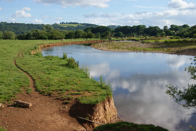
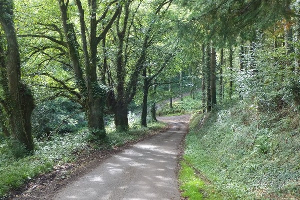
Photo of the river Exe through fields of cows at Brampford Speke
Brampford Speke Credit: Bill Boaden

You can explore more in this area

Photo of a quiet lane between trees on the Exe Valley Way
45miles/
72kms

Exe Valley Way

The Exe Valley Way is a long-distance route for walkers exploring the length of this beautiful river valley. The trail