45miles/
72kms

Exe Valley Way

About this route

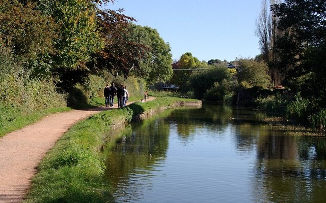
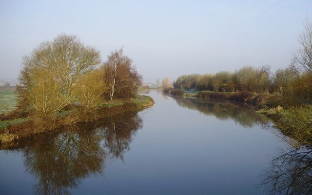
The Exe Valley Way is a long-distance route for walkers exploring the length of this beautiful river valley. The trail stretches from the South West Coast Path on the Exe Estuary to the village of Exford in Exmoor National Park.  An additional 7.5miles/12km links Exford to Exe Head, the source of the River Exe, high upon the open moorland. Most of the routes follows beside the River Exe.

The Exe Valley Way can be divided up into a series of 10 stages, most of which can be walked comfortable by most walkers in half a day.  The route is waymarked in both northbound and southbound directions.

Getting Around

Bampton, Tiverton, Bickleigh, Thorverton, Brampford Speke, Exeter and Starcross are all served by buses, the frequency of services does vary.  You may like to walk a section of the Exe Valley Way and return to your starting point by bus.

The route passes the railway stations at Exeter St Davids and Starcross, see the Travel Devon website for the latest times.

Facilities
Exeter, Bickleigh, Tiverton, Bampton, Dulverton and Exford have all facilities.
Terrain
A mix of canal towpath, quiet country lanes, fields, woodlands and open moorland - some strenuous climbs..
Accessibility
Explore more, click to download pdf
Download

OS Maps

Explorer No 114 - Exeter & the Exe Valley
Explorer OL9 - Exmoor

For More Information

Travel Devon

Interesting information

The Exe Valley is a beautiful and relatively unspoilt area of the Devon countryside. The River Exe, rising on Exmoor at a height of over 1450 feet/44 meters and within 5 miles of the Bristol Channel, then bends its way along an ever-changing route of over 60 miles to reach the sea on the South coast of Devon at Exmouth.

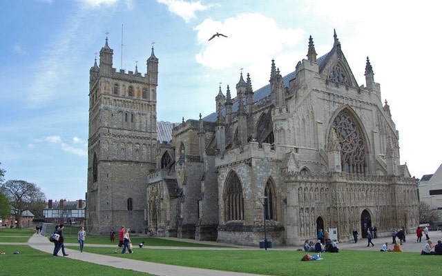
From the fast-flowing waters and steeply-wooded valleys of Exmoor and the area north of Tiverton, to the more gently flowing and meandering waters leading down to the coast, the Exe Valley offers an immense variety of flora and fauna as it flows through peaceful villages, busy market towns and cathedral city of Exeter.
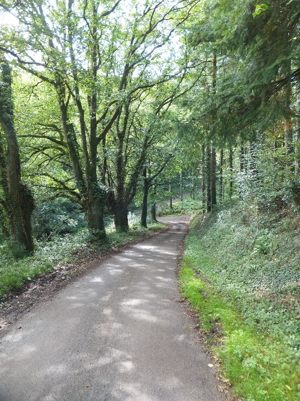
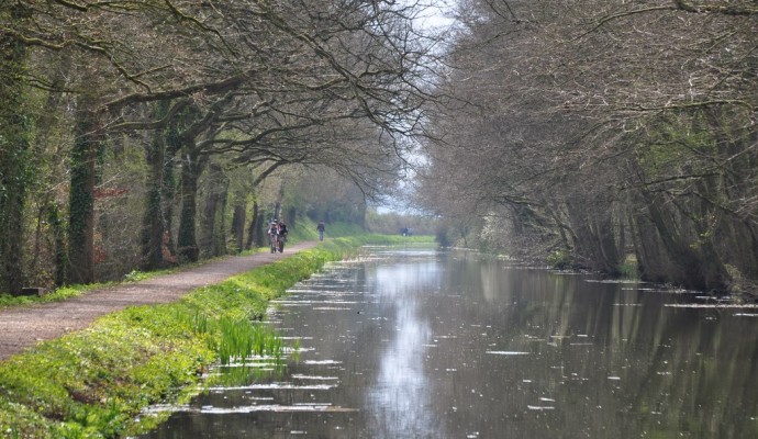
Photo of a quiet lane between trees on the Exe Valley Way
Exe Valley Way by David-Smith

You can explore more in this area

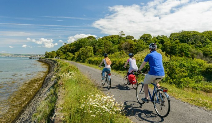
Photo of cyclists on the Tarka Trail alongside the estuary near Instow
16.4miles/
26kms

Exe Estuary Trail

This newly constructed cycle trail offers an almost entirely traffic-free, wonderfully level route which forms part of the South Coast
Photo of the Grand Western Canal with walkers on the tow path
16miles/
26kms

Grand Western Canal Walk

The Grand Western Canal Country Park is a popular place to enjoy a flat, easy walk in the countryside, with
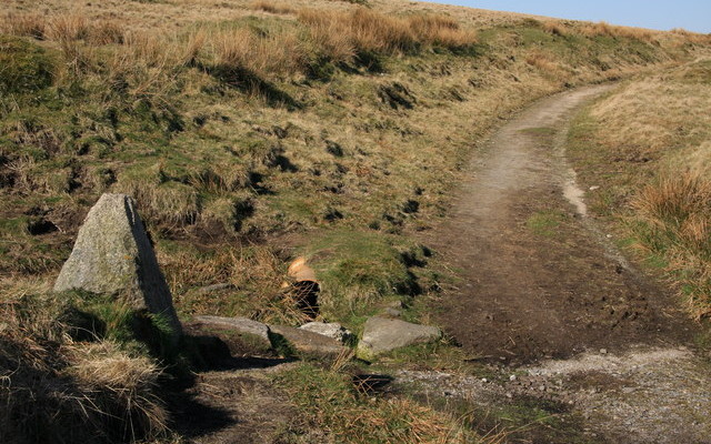
Photo of the Two Moors Way path across moorland with a granite way marker in the foreground
100miles/
160kms

Two Moors Way (Devon’s Coast to Co..

Running for just over 100 miles/160km between Ivybridge in the south and Lynmouth in the north, this famous path links
Photo of cyclists on the Tarka Trail alongside the estuary near Instow
16.4miles/
26kms

Exe Estuary Trail

This newly constructed cycle trail offers an almost entirely traffic-free, wonderfully level route which forms part of the South Coast
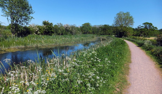
Photo of flowers and grassy banks alongside the Grand Western Canal and tow path
9miles/
14kms

Grand Western Canal

This is a lovely, peaceful cycle route, often along the towpath, beside a tranquil stretch of the Grand Western Canal.
Photo of cyclists on the Tarka Trail alongside the estuary at Instow
105miles/
168kms

West Country Way NCN 3

The route can be ridden in either direction, it takes you through the varied landscapes of the West Country, from
Photo of cyclists on the Tarka Trail alongside the estuary near Instow
16.4miles/
26kms

Exe Estuary Trail

This newly constructed cycle trail offers an almost entirely traffic-free, wonderfully level route which forms part of the South Coast
Photo of the Grand Western Canal with walkers on the tow path
16miles/
26kms

Grand Western Canal Walk

The Grand Western Canal Country Park is a popular place to enjoy a flat, easy walk in the countryside, with
Photo of the Two Moors Way path across moorland with a granite way marker in the foreground
100miles/
160kms

Two Moors Way (Devon’s Coast to Co..

Running for just over 100 miles/160km between Ivybridge in the south and Lynmouth in the north, this famous path links
Photo of the Grand Western Canal with walkers on the tow path
3miles/
4.8kms

Grand Western Canal Short Walk

The Grand Western Canal Country Park and Local Nature Reserve meanders through beautiful mid-Devon countryside and quiet villages between Tiverton
Photo of the Exeter Ship Canal at Countess Wear
5.25miles/
8.5kms

Exeter Ship Canal

Exeter Ship Canal forms part of the Riverside Valley Park, managed by Exeter City Council.  Although the canal is over
Photo of Exeter Cathedral

Exeter City Walls and Cathedral

Over 70% of the wall that once protected Exeter still remains and reveals a lot about the geology of the
Photo of Exeter Cathedral

Exeter City Walls and Cathedral

Over 70% of the wall that once protected Exeter still remains and reveals a lot about the geology of the
Photo of the Grand Western Canal with walkers on the tow path
3miles/
4.8kms

Grand Western Canal Short Walk

The Grand Western Canal Country Park and Local Nature Reserve meanders through beautiful mid-Devon countryside and quiet villages between Tiverton
Photo of the Exeter Ship Canal at Countess Wear
5.25miles/
8.5kms

Exeter Ship Canal

Exeter Ship Canal forms part of the Riverside Valley Park, managed by Exeter City Council.  Although the canal is over