Interesting information
Braunton Burrows is a Site of Special Scientific Interest and a very important part of the Northern Devon Biosphere Reserve.
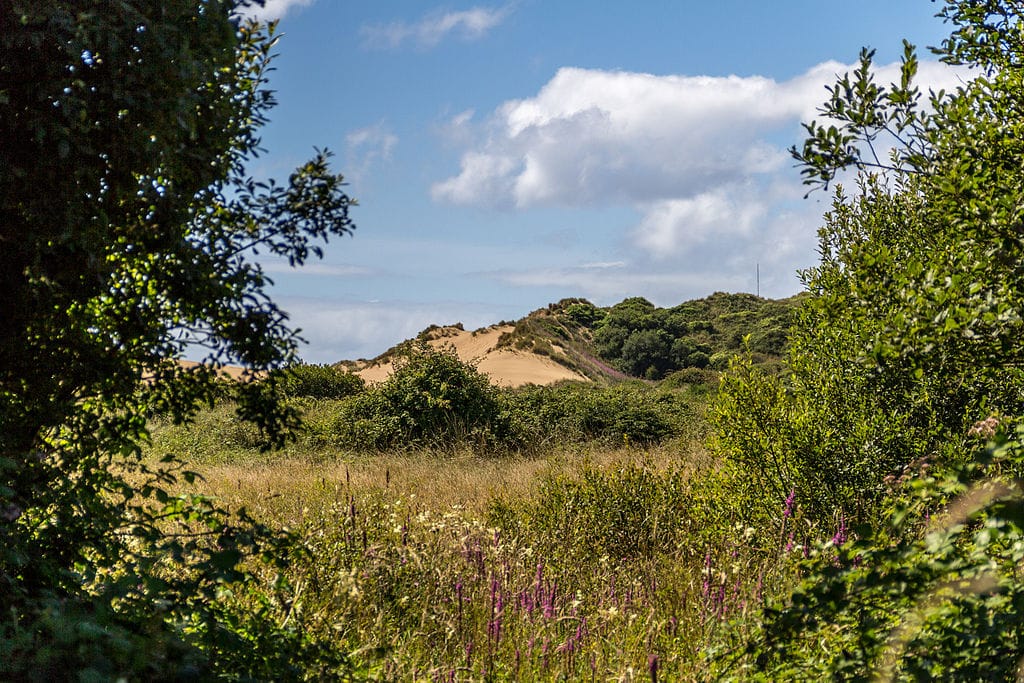
Situated at the entrance to the Taw-Torridge Estuary, Braunton Burrows is among Britain’s most significant sand dune systems and forms the heart of a UNESCO Biosphere Reserve.
Spanning 5 km in length and up to 1.5 km in width, the site encompasses diverse habitats such as flooded dune slacks, flower-rich grasslands, and scrub. These habitats host an incredible array of wildlife, including over 400 species of flowering plants like the rare sea stock (pictured below) and water germander, the rare petalwort moss, and 33 recorded butterfly species. The Burrows is also notable for its birdlife, featuring wintering waterfowl and breeding species like wheatear, skylark, and meadow pipit.
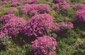
Sea Stock by Peter Wakely, Natural England
The nearby Northam Burrows Country Park (across the estuary at SS445308) hosts a range of coastal habitats including saltmarsh, a cobble ridge and a system of dunes rich in plants.
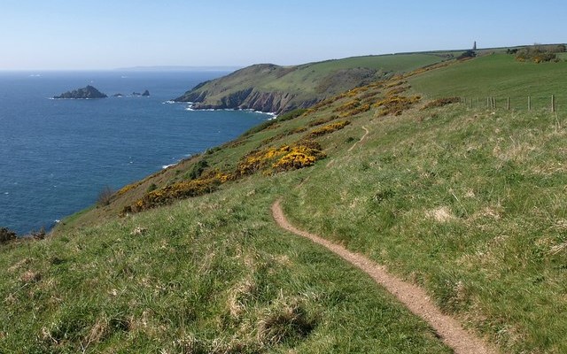
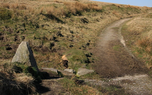
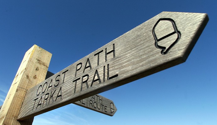
On foot: The South West Coast Path runs just inland of the dunes and links with the Tarka Trail (and then to Braunton and Barnstaple).
By bus and train: There are bus links to Barnstaple and nearby Braunton. Barnstaple has a train station.
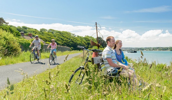
By bike: The Tarka Trail provides a good cycle route from Barnstaple to Braunton along the Taw-Torridge Estuary.
By Car: A number of small roads lead to the Burrows from nearby Braunton. Car parking is available off Sandy Lane.
Braunton Burrows is a Site of Special Scientific Interest and a very important part of the Northern Devon Biosphere Reserve.

