Skip to content

Places to visit in Devon

Devon is celebrated for the great beauty and diversity of its ancient landscapes, its geology and wildlife, its historic towns and villages, traditional buildings and archaeological sites. From moor to shore, wherever you travel in Devon you are sure to be able to enjoy somewhere rich in nature, history, archaeology, and culture. This variety is why so many people choose to visit and live in Devon.
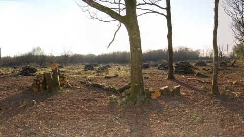
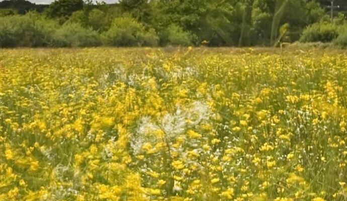
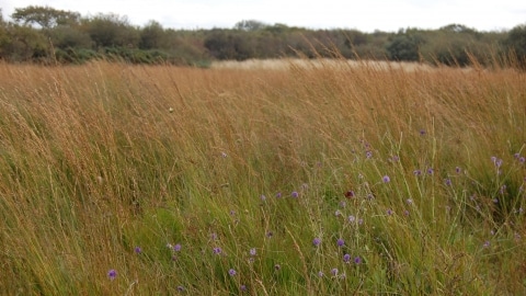
Stapleton Mire Culm Grassland

Stapleton Mire is a Culm grassland, rich in nationally rare plant and insect species. Some areas are almost dominated by the...

Tarr Steps

Tarr Steps is a must-visit destination in Exmoor National Park. This ancient “clapper bridge,” the longest and oldest of its kind...
DWT Veilstone moor

Veilstone Moor Culm Grassland

Veilstone Moor is an area where every type of Culm is found here – from dry heathland grasses, to water-filled ditches,...
meshaw dwt

Meshaw Moor Culm Grassland

Meshaw Moor consists of a patchwork of 13 field of wildflower-rich Culm grasslands, surrounded by hedges. It is a really good...
Meresfelle autumn culm DWT

Meresfelle Culm Grassland

Meresfelle is one of the Devonshire Culm grasslands that once dominated the landscape of this part of north-west Devon. It is...
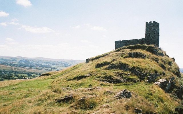
Goren Farm

Goren Farm was an extensive dairy farm up until 1990, but since then, the fields have been set to hay meadows...

Slapton Sands Memorials

In 1943 some 3000 people were evacuated from the Slapton Sands area of South Devon in order to provide a training...

Putsborough Bombing Range

The North Devon coast provided important training grounds for Allied forces during the Second World War. The area also saw the...

HMS Montagu

HMS Montagu was a steel British Duncan class battleship built at Devonport Dockyard, Plymouth in 1901 in direct response to large...

Exeter Quay

Exeter’s Quayside situated next to the River Exe and the Exeter Ship Canal is a popular destination for locals and tourists...
Large house and garden with tree.

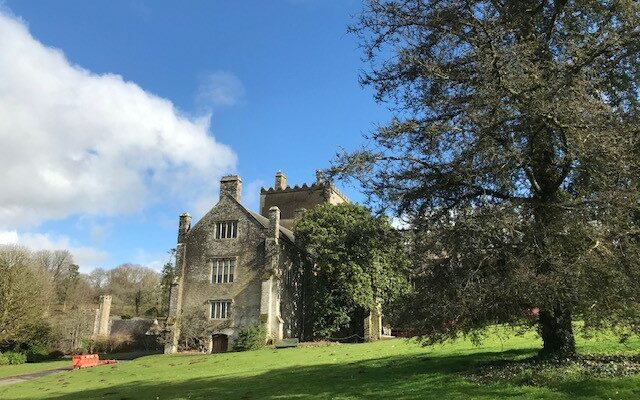
Buckland Abbey

Buckland Abbey, which is now a National Trust property, has a particularly interesting history, transforming from a medieval abbey to a...

Exeter Custom House

The Custom House, a nationally important Grade I listed building is located at Exeter Quayside where thousands of tourists flock every...

Dartmouth Castle

Dartmouth Castle has played a strategic role in protecting the mouth of the Dart Estuary for more than 600 years and...

West Soar Signal Station

West Soar Signal Station is a rare example of a surviving late 18th century Napoleonic signalling station. It was one of...
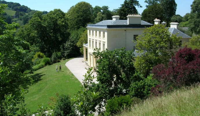
View of Greenway House

Greenway House, Galmpton

Greenway House, now owned by the National Trust, is a late 18th century mansion set within landscaped and wooded grounds overlooking...
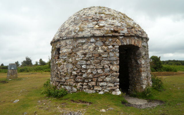
Small domed stone building.

Culmstock Beacon

Culmstock Beacon provides a stunning viewpoint south to the River Culm valley and the historic village of Culmstock. The Beacon is...

Dartmoor Prison and Museum

Dartmoor Prison was built in 1806-9 to house French prisoners of war. Its construction was partly prompted by the pressures on...
View of Compton Castle.

Compton Castle

Compton Castle is a 14th century fortified manor house set amidst rolling hills a short way inland from Torquay. Houses such...
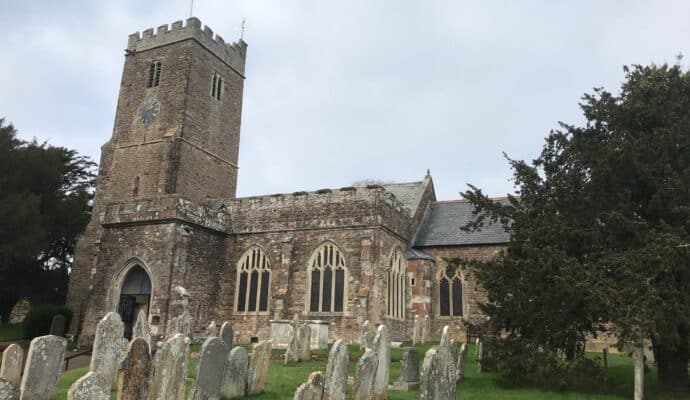
Photo showing exterior of church

All Saints Parish Church, East Budleigh

The village of East Budleigh, and the parish church of All Saints in particular, is very much connected with the Elizabethan...

Brandy Head Observation Post

The Devon coastline not only played a strategic role in the active defence of Britain and the Allied invasion of Normandy,...

Beer Head 10 Gun Battery

The beginning of the 19th century was a tense time in Britain, with a fear of invasion caused by political upheaval...

Bayard’s Cove Fort

Dartmouth, and the Dart Estuary, has long been an important coastal port and as such has been variously afforded a range...
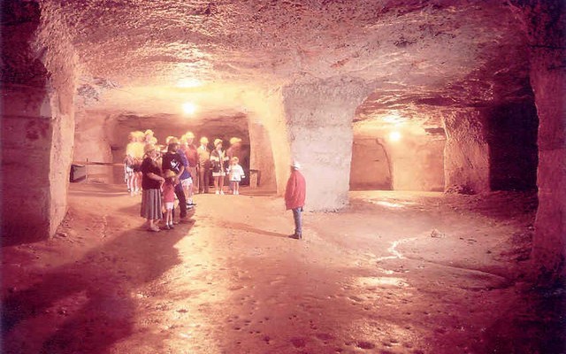
Photo of a group of people inside Beer Quarry caves

Beer Quarry Caves

Beer Quarry Caves provide a fascinating insight into the geology of East Devon, where a unique limestone was formed on the...
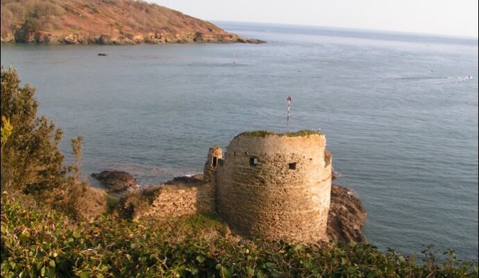
Photo of Fort Charles

Fort Charles, Salcombe

This historic coastal Fort provides a stunning viewpoint of the Kingsbridge Estuary and Salcombe Harbour. Fort Charles (also known as Salcombe...
Photo of sea cliffs and sea on Lundy Island

Lundy

Lundy is an island in the Bristol Channel, lying only 18km from mainland Devon. It is just 5.5km long and less...
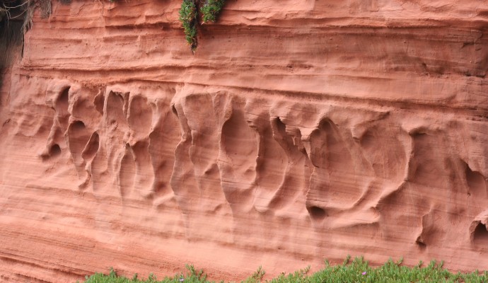
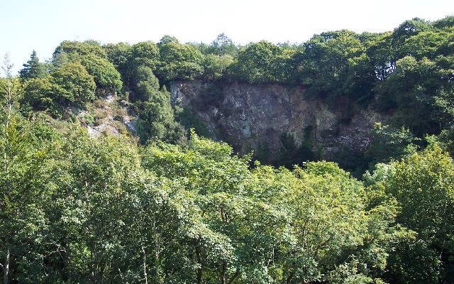
Photo of the sea and cliffs at Hope's Nose Torquay

Hope’s Nose to Walls Hill

The coastline from Hope’s Nose north to Walls Hill shows the connection between geology and wildlife and is of national importance...
Photo of fields, woods and hills at Codden Hill near Barnstaple

Codden Hill

Codden Hill provides an excellent vantage point from which to see the surrounding features in the landscape that are related to...
Photo of the beach at Daddy Hole Plain, Torquay

Daddyhole Plain

The coastal headland comprises impressive coves, cliffs, foreshore and quarry exposures. Daddyhole Cove, together with a small quarry at Triangle Point...
Photo looking up at the granite rocks off Blackingtone Rock on Dartmoor

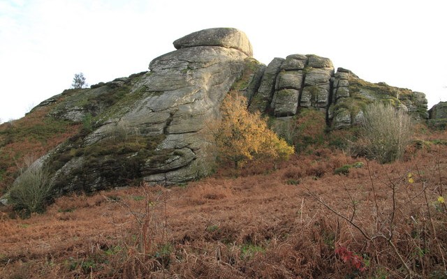
Blackingstone Rock

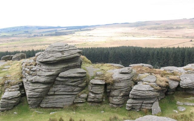
Blackingstone Rock is a large tor situated in the eastern part of Dartmoor National Park. It exhibits many of the typical...
Aerial photo of Morwellham Quay

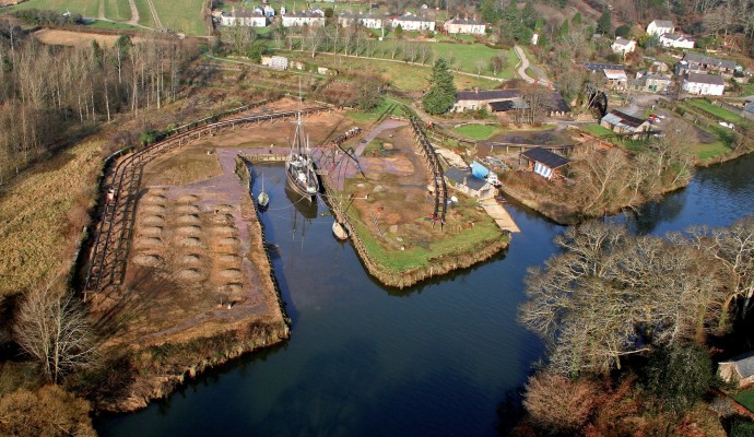
Morwellham Quay

Much of the Tamar Valley in West Devon was once home to a thriving mining industry. This industry needed a transport...
Photo looking across sand and through rocks to the sea at Barricane beach

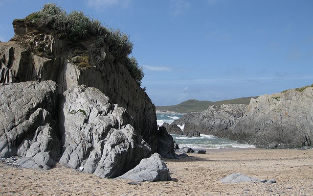
Woolacombe to Ilfracombe

Devon’s coastline shows some spectacular geology and this is certainly true between Woolacombe and Ilfracombe. Woolacombe itself is home to an...
Photo of a rocky beach with cliffs at Combe Martin

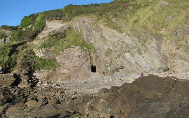
Combe Martin Bay to Hele Bay

Starting within Exmoor National Park, this beautiful stretch of coastline reveals some dramatic geology of the Devonian age. There are a...
Photo of the river Exe through fields of cows at Brampford Speke

Brampford Speke

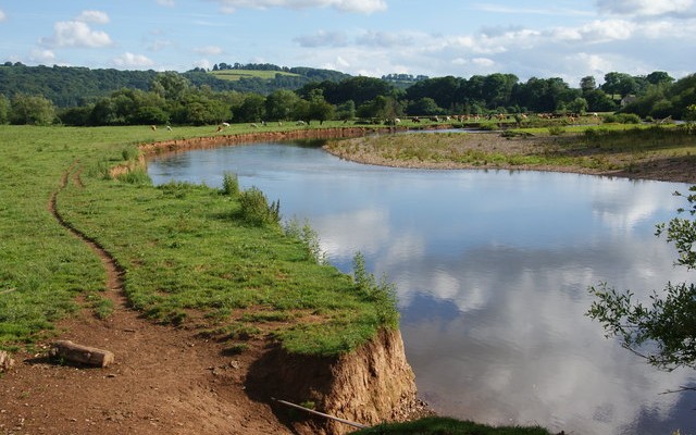
This site is an ideal and beautiful location to see the River Exe as it snakes its way through the Exe...
Photo of the red cliffs on Sidmouth seafront with High Peak hill in the background

Sidmouth to Beer Coast

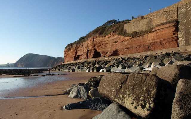
Between Sidmouth and Beer the geology is strongly influenced by a gentle easterly dip in the layers of the rocks that...
Photo looking across Ladram Bay in East DEvon with red cliffs and sandstone stacks

Ladram Bay to Sidmouth

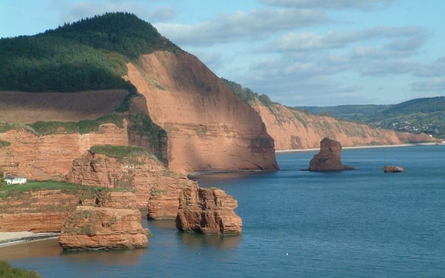
The views from Ladram Bay to Sidmouth are some of the most dramatic on the East Devon coastline. Both Ladram Bay...
Landscape photo of Prawle Point showing coastal fields and rocky shore
6miles/
10kms

Start Point to Prawle Point

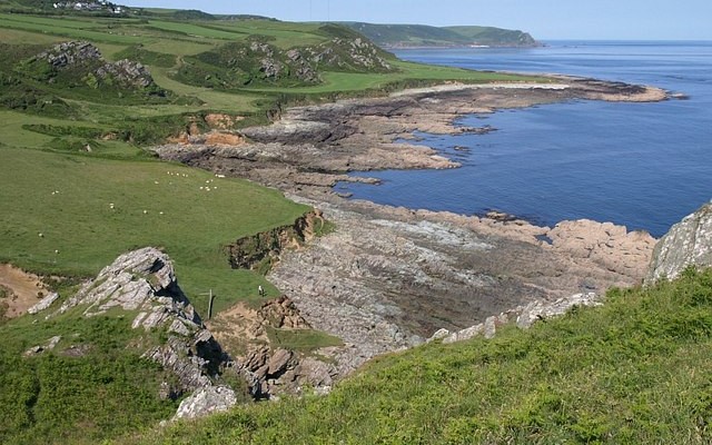
Start Point to Prawle Point is a truly beautiful stretch of south Devon coastline. It is underlain by rocks that are...
Photo of the red sandstone shore and sea with cliffs behind near Orcombe Point in Exmouth

Orcombe Point to Lympstone

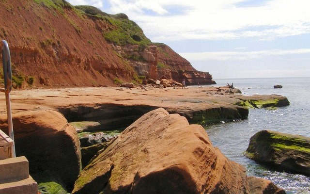
Orcombe Point marks the western gateway of the Jurassic Coast World Heritage Site and its oldest rocks, dating from the early...
Photo inside Kents Cavern showing stalactites and stalagmites

Kents Cavern

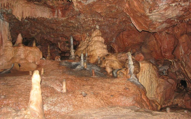
Kents Cavern is fascinating for both its geology and human history. It boasts beautiful and spectacular geological formations and significant prehistoric...
Landscape photos looking across grassy mounds of the iron age hillfort Blackdown Rings

Blackdown Rings

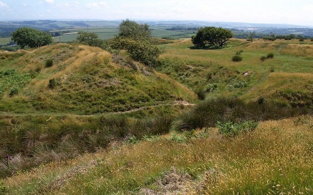
This site provides a stunning viewpoint showing the broad geological features of the South Hams. Blackdown Rings consists of an Iron...
Photo looking down over rocky coastal cliffs towards the sea at Baggy Point

Baggy Point to Saunton

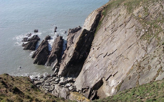
The coastline from Baggy Point south to Saunton Sands is a magnificent sight. The rocks are about 370 million years old...
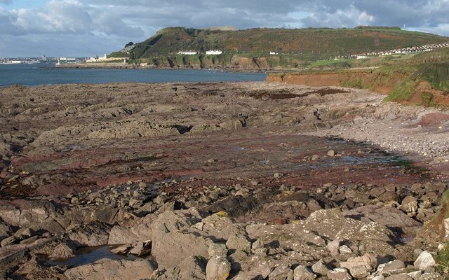
Photo of a rocky shore and the south Devon coastline at Andurn Point near Plymouth

Plymouth Sound, shores and cliffs

This magnificent coastal section runs along the eastern side of Plymouth Sound from Andurn Point northwards to Mount Batten Point. As...
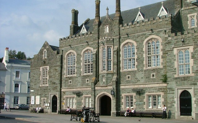
Photo of Tavistock Town Hall

Tavistock and Tavistock Railway Cutting

Tavistock, originally founded in 974 AD with the building of the Benedictine Abbey, has been greatly influenced by the local geology....
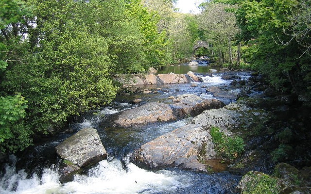
Photo of the River Erme running over rocks with a bridge in the background

Ivybridge and the Erme Valley

The areas of Ivybridge Town and the valley of the River Erme to the north and south are very interesting for...
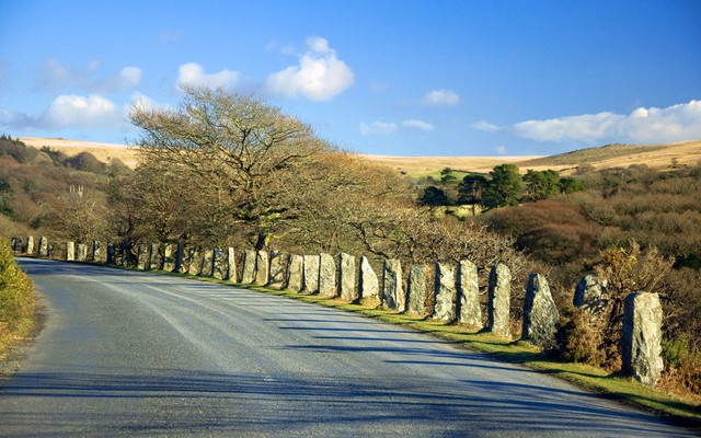
Photo of the road to Burrator on Dartmoor lined with granite marker stone

Burrator Quarries

Located on the south-western edge of Dartmoor close to the impressive Burrator Reservoir are the disused Upper and Lower Burrator Quarries....
Photo of granite rocks on Bellever Tor on Dartmoor

Bellever Tor and Higher Cherrybrook Brid..

Situated in the centre of Dartmoor National Park, the area around Bellever Tor is easily accessible and is a popular site...
Photo of a bridge over a river at Merrivale

Merrivale

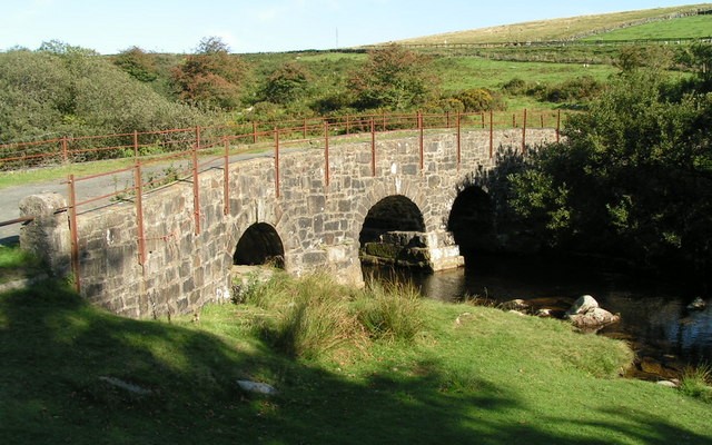
Located on the west side of Dartmoor, this site is home to a number of impressive landforms that are defined by...
Photo of South Brentor Church on top of the tor at Brent Tor, Dartmoor

Brent Tor

Brent Tor is one of the most impressive rock outcrops on Dartmoor. With St Michael’s Church at its top, it makes...
Close up photo of red sandstone cliffs at Dawlish

Dawlish Warren and Cliffs

Dawlish Warren is a fascinating place. This sand spit at the mouth of the Exe Estuary is not only of geological...
Photo of trees and wall looking towards Great Torrington

Barley Grove and Torrington Common

The beauty of this site is in its views. Standing at the viewpoint on Great Torrington Common, you can look south...
Photo of Killerton Chapel

Killerton Park

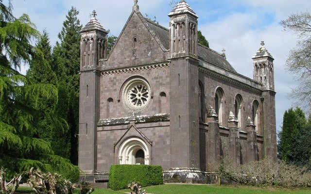
The area around Killerton shows signs of having experienced high levels of volcanic activity about 285 million years ago. Evidence of...
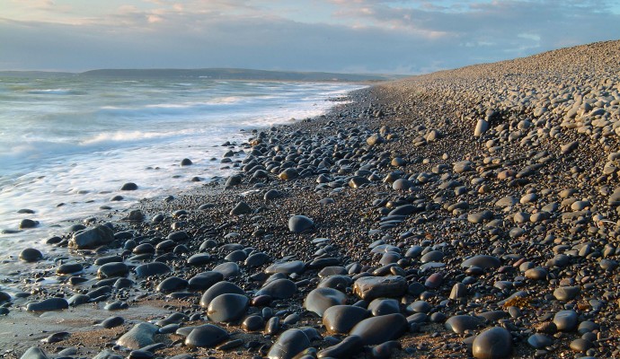
Photo of the shoreline on a pebble beach

Westward Ho! Cliffs and Northam Burrows

The Westward Ho! cliffs provide a good section of a raised beach platform well above the level of the present beach....
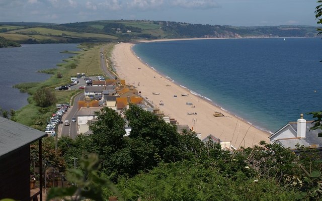
Landscape photo looking along the length of the beach and road at Slapton Ley with lagoon on the left and sea on the right

Slapton Ley

The main geological feature at this wonderful site is a dramatic shingle bar running from Strete Gate south to the village...
Photo of trees surrounding an old quarry at Cann

Plym Bridge Quarries

Plym Bridge is easily accessed via the Drakes Trail. This is quite a gentle route for both cyclists and walkers, heading...
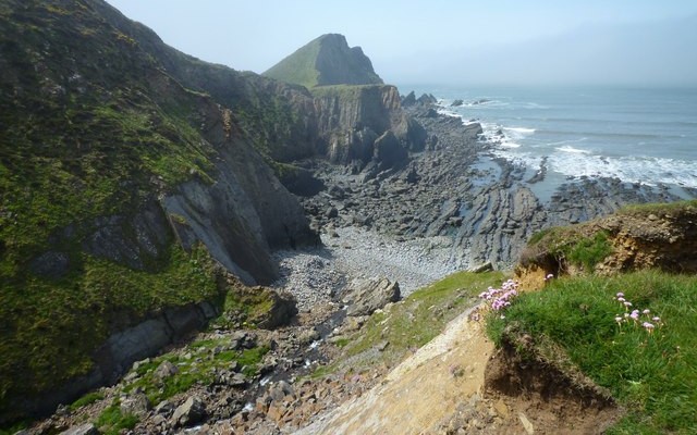
Photo of sea, rocky coast and north Devon coastal cliffs at Hartland Point

Hartland Point to Hartland Quay

Part of the North Devon Area of Outstanding Natural Beauty, this stretch of coastline is one of the most dramatic in...
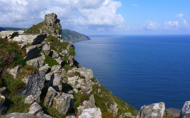
Photo of the north Devon coast, looking out over rocks and sea at Valley of the Rocks

Lynmouth area

This area on the beautiful coast of Exmoor National Park is home to a number of fascinating geological features. To the...
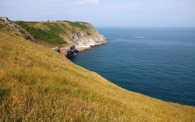
Photo of grassy fields down to coastal cliffs and the sea at Berry Head

Berry Head, Brixham

Berry Head offers spectacular views across Torbay. So it is not surprising that it was chosen as a strategic location for...
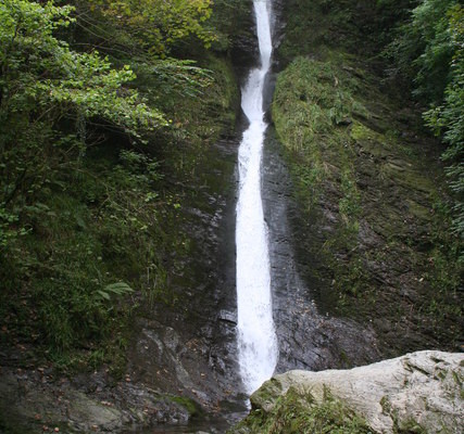
Photo of Whitelady waterfall at Lydford Gorge
3miles

Lydford Gorge

The impressive Lydford Gorge has a depth of 35 meters, is almost 2km long and is of considerable importance for interpreting...
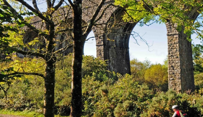
Photo of cyclists on a trail under a viaduct on the Granite Way
11miles/
18kms

The Granite Way

The Granite Way is an 11-mile cycle and walkway running between Okehampton and Lydford along the north western edge of Dartmoor....
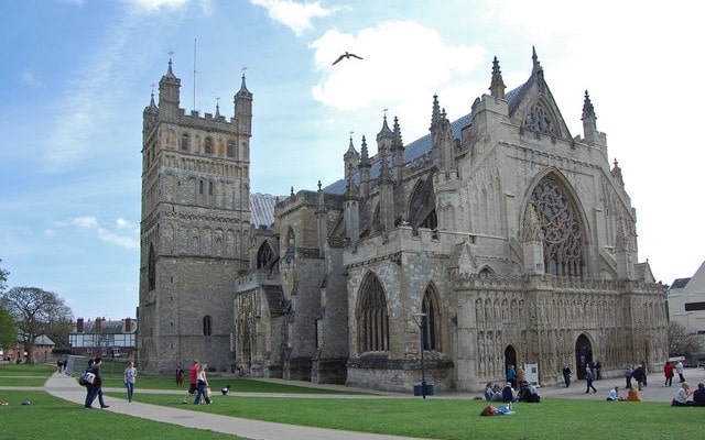
Photo of Exeter Cathedral

Exeter City Walls and Cathedral

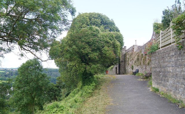
Over 70% of the wall that once protected Exeter still remains and reveals a lot about the geology of the area....
Photo of coastal cliffs with chalk cliffs in the background

Axmouth to Lyme Regis Undercliffs

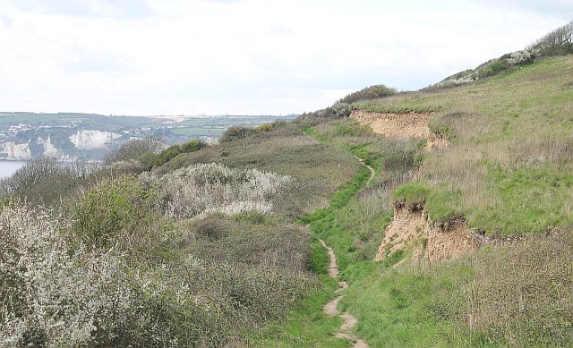
This magnificent 304 hectare nature reserve, managed by Natural England, offers dramatic coastal scenery and is of international importance for its...
Photo of red cliffs and pebble bed layer above Budleigh Salterton Beach

Budleigh Salterton Cliffs and the Otter ..

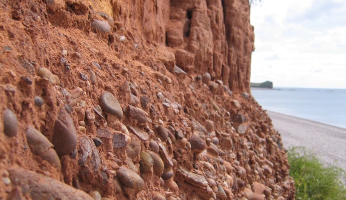
The cliffs in the western part of Budleigh Salterton expose the full thickness of the Lower Triassic Budleigh Salterton Pebble Beds....
View across a rocky shore to Wembury beach

Wembury

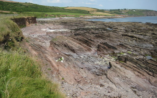
This site spans from Wembury Beach west to Wembury Point. The area has been designated an Area of Outstanding Natural Beauty...
Photo across a dune slack to sand dunes in the background

Braunton Burrows

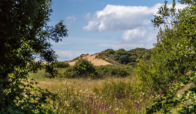
Braunton Burrows is a dramatic series of sand dunes located at the mouth of the Taw-Torridge Estuary and is one of...

Immersive Reader