Skip to content
30miles/
48kms

Tamar Valley Discovery Trail

About this route

This route covers a stretch of the valley of the Tamar, the historic border between Saxon Devon and Celtic Cornwall. It links the edge of Plymouth, with its maritime associations, in the south, with Launceston, the ancient capital of Cornwall, just over the county boundary.

The route involves a river crossing by train (unfortunately the ferry crossing is not currently running) and takes in riverside and estuary paths, woodland tracks and quiet country roads. It also includes a tidal crossing of one of the Tamar’s tributary rivers. You will need to check for tide times as well as train or ferry times.

The route is comprehensively waymarked and walking is generally easy with a few short sharp climbs.

*Please note that while there is a train service from Calstock to Bere Alston there are only a few trains each days so it is worth checking the timetable in advance of your visit.

Getting Around

Many choose to combine a walk with the Tamar Valley Line train service to create a circular route. Buses connect Bere Alston and Bere Ferrers with Tavistock and Yelverton. There is also a bus service from Milton Abbot to Launceston, Tavistock and Okehampton. See the Travel Devon website for latest times.

Please note: there is a tidal crossing which cannot be passed within 2 hours either side of high tide.

Facilities
Refreshments, toilets and parking are available in Lopwell, Bere Alston, Calstock, Lifton and Launceston.
Terrain
Generally easy with a few short sharp climbs, some quiet roads, riverside trails and woodlands.
Accessibility
Explore more

Interesting information

You may wish to combine a walk with the Tamar Valley Line train service to make a circular route, or take in one of the many villages along the trail for some well earned refreshment.

The Tamar Valley is a designated Area of Outstanding Natural Beauty.

Photo of a view across the River Tamar to woodlands in Autumn
Tamar Valley Discovery Trail Copyright Derek Harper, licenced for further use - see geograph.org.uk
You can explore more in this area

  • Cycling
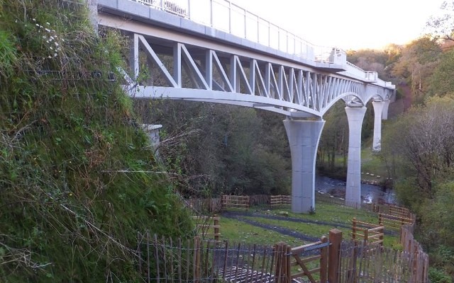
    Photo of Gem Bridge across a valley and river on the Drakes Trail
    21miles/
    34kms

    Drake’s Trail

    Drake’s Trail in West Devon is a 21-mile, multi-use route linking Tavistock with Plymouth. This important part of Devon’s recreational network...
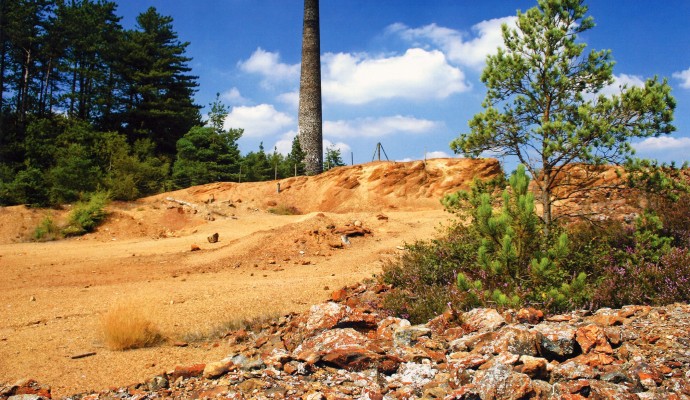
    Photo of an arsenic mine tower with waste ground in front
    15miles/
    25kms

    Tamar Trails

    Around 15 miles / 25km of new trails have recently been  created in the Tamar Valley as part of the Mining...
  • Heritage
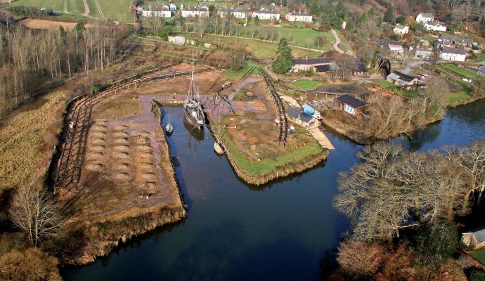
    Aerial photo of Morwellham Quay

    Morwellham Quay

    Much of the Tamar Valley in West Devon was once home to a thriving mining industry. This industry needed a transport...
  • Geology
    Aerial photo of Morwellham Quay

    Morwellham Quay

    Much of the Tamar Valley in West Devon was once home to a thriving mining industry. This industry needed a transport...
  • Short walks
    Photo of a group of people in front of old mine workings at Devon Great Consuls
    1.4miles/
    2kms

    Tamar Trails – Chimney Rock Walk

    Explore beech, oak and conifer woodland with sweeping views over the steep sides of the River Tamar. This is a narrow...
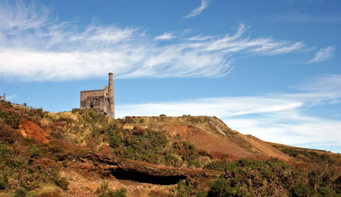
    Landscape photo of mine buildings at Devon Great Consuls
    2.3miles/
    3.5kms

    Tamar Trails – Wheal Josiah Walk

    Explore the mining landscapes of the Tamar Valley on this wide, mainly level path, with moderate inclines in parts. The path...
  • Accessible walks
    Photo of a tow path and canal with bridge
    3miles/
    5kms

    Drakes Trail – Tavistock to Crowndale

    This route, originally built by a special needs group to meet the requirements for the whole family, now forms part of the...
  • Wildlife Sites
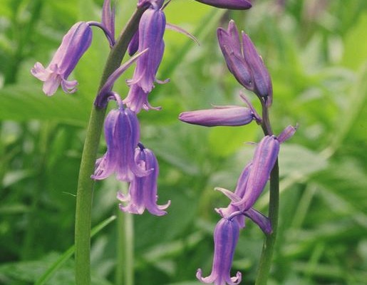
    Photo of bluebells

    Warleigh Point

    Warleigh Point is a Devon Wildlife Trust reserve. It’s a fine example of coastal oak woodland. A variety of management regimes...
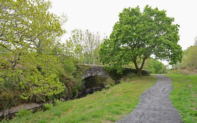
    Photo of an old stone bridge, Plym Bridge

    Plym Bridge Woods

    Springtime in the valley of the River Plym sees the Plym Bridge Woods floor carpeted by wild flowers including wood anemone,...
  • Woody
    Photo of bluebells

    Warleigh Point

    Warleigh Point is a Devon Wildlife Trust reserve. It’s a fine example of coastal oak woodland. A variety of management regimes...
    Photo of an old stone bridge, Plym Bridge

    Plym Bridge Woods

    Springtime in the valley of the River Plym sees the Plym Bridge Woods floor carpeted by wild flowers including wood anemone,...
  • Long walks
    Photo of a stile in front of fields and woodland
    15miles/
    24kms

    Erme-Plym Trail (Devon’s Coast to ..

    This 15 mile/24km generally easy path takes in the pleasing environment of the Erme Valley south of Ivybridge, as well as...
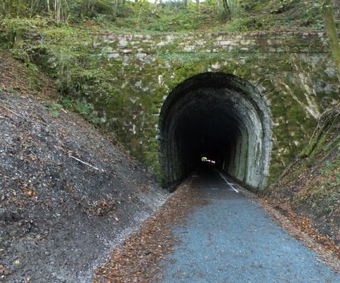
    Photo of a quiet lane entering a tunnel on Drake's Trail
    37miles/
    59kms

    West Devon Way

    The West Devon Way is a 37-mile walking trail linking Okehampton with Plymouth via Tavistock. This important part of Devon’s recreational route...
  • Coastal
    Photo of bluebells

    Warleigh Point

    Warleigh Point is a Devon Wildlife Trust reserve. It’s a fine example of coastal oak woodland. A variety of management regimes...

Immersive Reader