2.3miles/
3.5kms

Tamar Trails – Wheal Josiah Walk

About this route

Explore the mining landscapes of the Tamar Valley on this wide, mainly level path, with moderate inclines in parts. The path has a compacted stone surface offering a less steep walking route to view mining works and to join the Wheal Maria Trail.

Getting Around

This walk starts and finishes at the Tamar Trails Centre, located just off the A390 between Gunnislake and Tavistock. The grid reference for the car park is SX 438 728, alternatively type PL18 8JE into your sat nav.

Facilities
Tamar Trails Centre (car parking, cafe, toilets)
Terrain
Mainly level path with moderate inclines in parts. Warning - part of the mining heritage includes large contaminated arsenic spoil tips. Although arsenic is no longer mined here, the element can still poison anyone who touches or consumes it.
Accessibility
Explore more, click to download pdf
Download

OS Maps

Landranger (1:50,000): No.201 Plymouth and Launceston

Explorer (1:25,000): No.108 Lower Tamar Valley

For More Information

www.tamarvalley.org.uk

Interesting information

Around 25km of brand new trails have been created as part of the Tamar Valley Mining Heritage Project. There are eight trails in total, each one is available to a variety of users, including walkers, cyclists and horse riders. The Trails have opened up parts of the Tamar Valley that were previously not accessible to the public. Along the trails you will find a series of numbered markers relating to features of interest.

Wheal Anna Maria Arsenic Tailings – the red sand tips are waste from the arsenic recovery phase of the mine. In the 1870s, a handful of mines in the Tamar Valley were producing over half the world’s arsenic.

Blanchdown Adit – a good place to see the orange-coloured waters discharging, particularly after heavy rains. The water is coloured by ochre, the pigment which usually comes from iron ore in the earth.

Wheal Anna Maria Copper Tailings – these are dumps containing the copper slimes (the residue left over after the processing of the copper ore) and date from an earlier phase of the mine’s life.
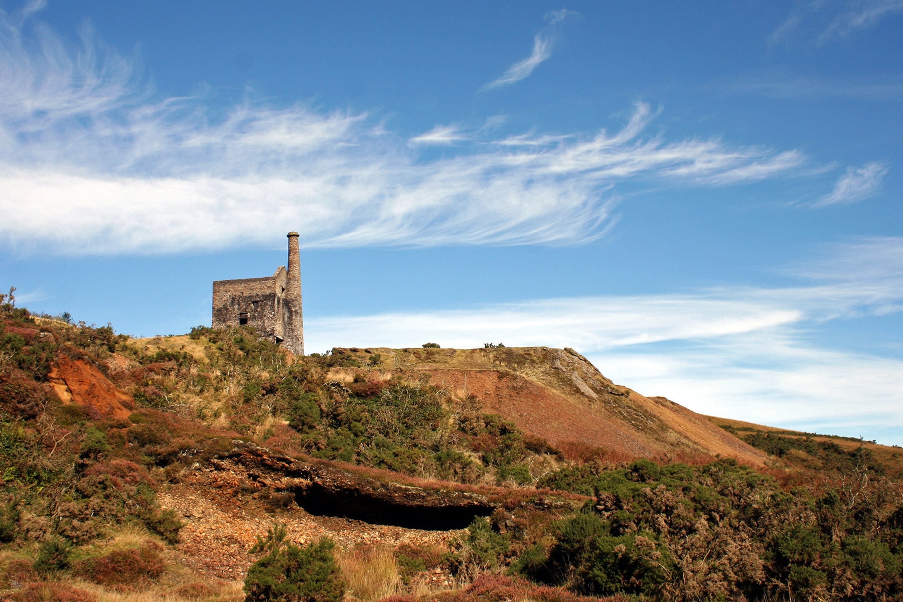
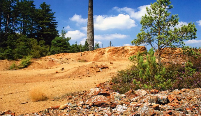
Landscape photo of mine buildings at Devon Great Consuls
Tamar Trails Mining Arsenic Copyright Barry Gamble

You can explore more in this area

Photo of an arsenic mine tower with waste ground in front
15miles/
25kms

Tamar Trails

Around 15 miles / 25km of new trails have recently been  created in the Tamar Valley as part of the
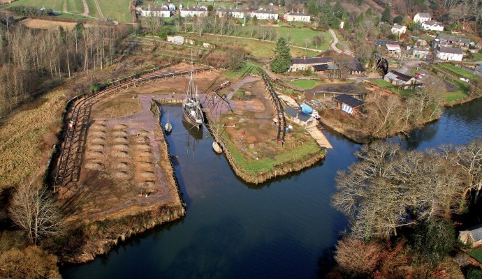
Aerial photo of Morwellham Quay

Morwellham Quay

Much of the Tamar Valley in West Devon was once home to a thriving mining industry. This industry needed a
Aerial photo of Morwellham Quay

Morwellham Quay

Much of the Tamar Valley in West Devon was once home to a thriving mining industry. This industry needed a
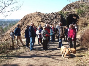
Photo of a group of people in front of old mine workings at Devon Great Consuls
1.4miles/
2kms

Tamar Trails – Chimney Rock Walk

Explore beech, oak and conifer woodland with sweeping views over the steep sides of the River Tamar. This is a
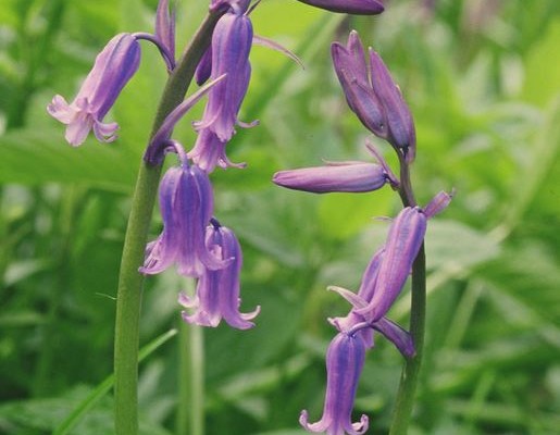
Photo of bluebells

Warleigh Point

Warleigh Point is a fine example of coastal oak woodland. A variety of management regimes have created a diverse woodland
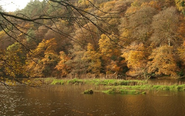
Photo of a view across the River Tamar to woodlands in Autumn
30miles/
48kms

Tamar Valley Discovery Trail

This route covers a stretch of the valley of the Tamar, the historic border between Saxon Devon and Celtic Cornwall.