Warleigh Point

About this route

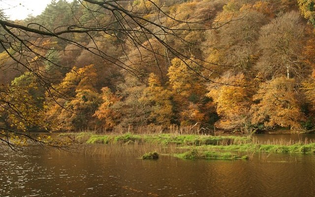
Warleigh Point is a fine example of coastal oak woodland. A variety of management regimes have created a diverse woodland structure, including areas of coppice, open glade and scrub. Though dominated by oak, other trees are also present including the uncommon wild service tree. The rich ground flora includes bluebells, primroses, sweet woodruff and wild garlic. The range of habitats support a wide diversity of animal life. Speckled wood butterflies are common, and tawny owl and green woodpecker breed here. A number of wildfowl and waders, including little egret, can be seen on the estuary in the winter.

Getting Around

By car: The reserve is signposted from Tamerton Folliot, to the north of Plymouth. It lies about 2km down a lane running west from the village. The entrance is on the far side of a railway bridge to the north of an old station. You are advised to lock your bike if left and not leave valuables in the car.

By bus: there is a service from Plymouth to Tamerton Folliot, visit the Travel Devon website for the latest times.

Facilities
There is a circular path around the reserve. The easy access section includes a track to the reserve that can be muddy.
Terrain
Footpaths. Some accessible trails.
Accessibility

Interesting information

Warleigh Point is a Site of Special Scientific Interest (SSSI).
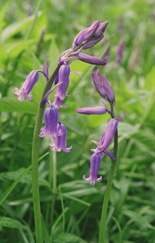
Photo of bluebells
Bluebells Copyright Natural England - Peter Wakely

You can explore more in this area

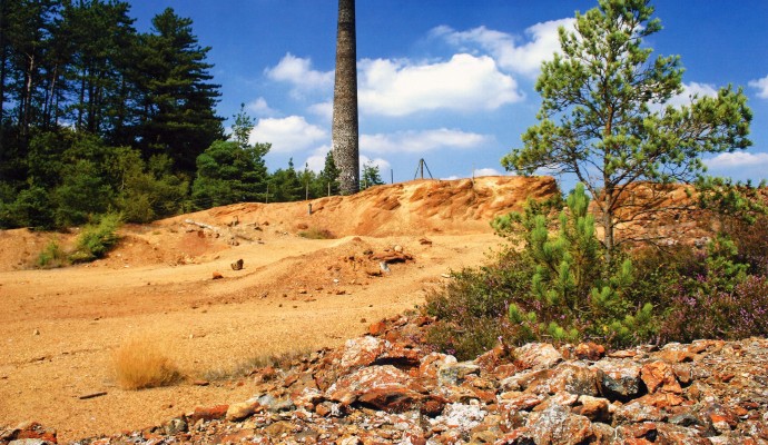
Photo of an arsenic mine tower with waste ground in front
15miles/
25kms

Tamar Trails

Around 15 miles / 25km of new trails have recently been  created in the Tamar Valley as part of the
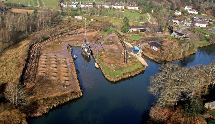
Aerial photo of Morwellham Quay

Morwellham Quay

Much of the Tamar Valley in West Devon was once home to a thriving mining industry. This industry needed a
Aerial photo of Morwellham Quay

Morwellham Quay

Much of the Tamar Valley in West Devon was once home to a thriving mining industry. This industry needed a
Photo of a group of people in front of old mine workings at Devon Great Consuls
1.4miles/
2kms

Tamar Trails – Chimney Rock Walk

Explore beech, oak and conifer woodland with sweeping views over the steep sides of the River Tamar. This is a
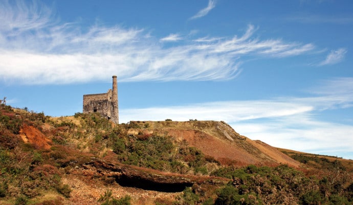
Landscape photo of mine buildings at Devon Great Consuls
2.3miles/
3.5kms

Tamar Trails – Wheal Josiah Walk

Explore the mining landscapes of the Tamar Valley on this wide, mainly level path, with moderate inclines in parts. The
Photo of a view across the River Tamar to woodlands in Autumn
30miles/
48kms

Tamar Valley Discovery Trail

This route covers a stretch of the valley of the Tamar, the historic border between Saxon Devon and Celtic Cornwall.