3miles/
5kms

Drakes Trail – Tavistock to Crowndale

About this route

This route, originally built by a special needs group to meet the requirements for the whole family, now forms part of the Drake Trail multi-use route.
It starts in the town centre of Tavistock and follows the Canal through woodland and fields.

Getting Around

Park at Bedford Square  or Meadowlands car parks.

Facilities
Toilets in car parks and refreshments in Tavistock town centre. Podcast available.
Terrain
Paved surface and firm footpaths, wide and flat. The route is also a cycle track so you will need to be on the lookout for enthusiastic cyclists!
Accessibility
Explore more, click to download pdf
Download

OS Maps

Landranger (1:50,000): No.201 Plymouth and Launceston.

Explorer (1:25,000): No.108 Lower Tamar Valley.

For More Information

www.drakestrail.co.uk

Travel Devon

Interesting information

This walk follows part of the Tavistock Canal, constructed by civil engineer John Taylor. The canal took 14 years to complete, with labour by French prisoners, and was officially opened in 1817. The canal played an important role in transporting copper ore 4.5 miles to Morwellham Quay, at the time one of the biggest trading ports in the world.

The town of Tavistock dates back to the building of the Abbey in the 10th century. After five and a half centuries, the monastery was dissolved and the town was given to John Russell the first Earl of Bedford. The Earls, and later Dukes of Bedford, who made much of his wealth through mining, owned the majority of all property in the town until 1911, when many of the buildings were sold off.

Both the Canal and the town centre form part of the Cornwall and West Devon Mining Landscape World Heritage Site.

Sir Francis Drake was reputed to be born at Crowndale Farm in around 1540. It is difficult to be exact about this as only deaths were officially registered in the mid 16th century.  Drake began his seafaring career at the age of 13 and became the owner of his first commercial vessel at the age of 20.  The farm that you can see at Crowndale now is not the building that Drake would have known. The original farm was demolished and the stone was carried north to be used in Lewtrenchard.
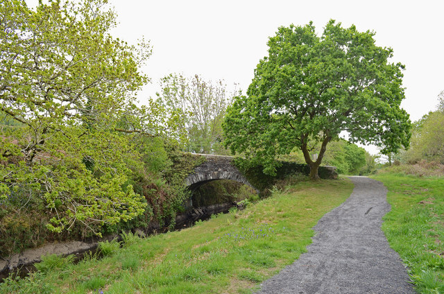
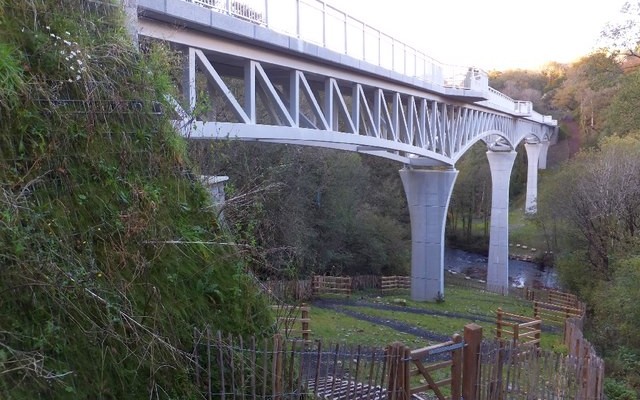
Photo of a tow path and canal with bridge
Tavistock Canal, Crowndale Copyright Andrew Hackney, licenced for reuse - geograph.org.uk

You can explore more in this area

Photo of Gem Bridge across a valley and river on the Drakes Trail
21miles/
34kms

Drake’s Trail

Drake’s Trail in West Devon is a 21-mile, multi-use route linking Tavistock with Plymouth. This important part of Devon’s recreational
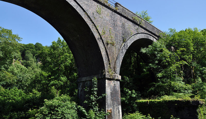
Photo of Cann Viaduct from below
10miles/
16.1kms

Drakes Trail – Plymbridge Woods

Drake’s Trail in West Devon is a 21-mile, multi-use route linking Tavistock with Plymouth. This important part of Devon’s recreational
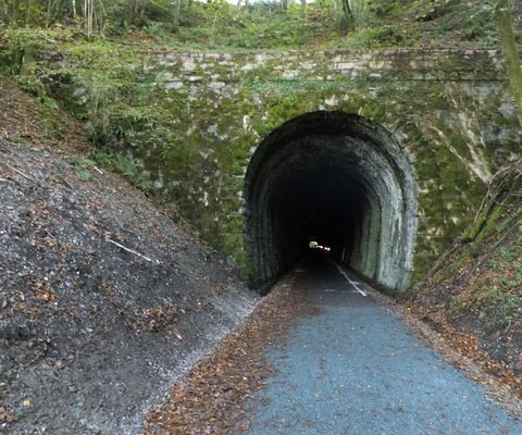
Photo of a quiet lane entering a tunnel on Drake's Trail
37miles/
59kms

West Devon Way

The West Devon Way is a 37-mile walking trail linking Okehampton with Plymouth via Tavistock. This important part of Devon’s recreational