32miles/
52kms

The Tarka Trail (Braunton – Meeth)

About this route

Stretching for over 52km / 32 miles from Braunton to Barnstaple, then to Instow, Bideford, Great Torrington and on to Meeth.  Entirely traffic-free, this section of the “Devon Coast to Coast” is known as the Tarka Cycle Trail as it follows the journey of Tarka the Otter in the classic tale written by Henry Williamson.  The route can be broken up into easily managed sections:

Braunton to Barnstaple 10km / 6 miles

Barnstaple to Bideford 14km / 9 miles

Bideford to Great Torrington 10km / 6 miles

Great Torrington to Meeth 18km / 11 miles

The “Devon Coast to Coast” National Cycle Network (NCN) Route 27, the complete 102 mile route of which, runs between Ilfracombe on the north Devon coast to Plymouth on the south coast.

The Tarka Trail is a shared trail enjoyed by many different types of user – Walkers, cyclists, wheelchair users, mobility scooters, dog walkers and horse riders, please remember that it is here for everyone to enjoy. Horse riding is only permitted on the section between Servis and Meeth. For more information read the Tarka Trail guidance for horse riders and the Tarka Trail code of conduct.

Getting Around

By car: parking is signposted at many points along the Trail

By train: the Tarka Line runs between Exeter and Barnstaple

By bus: buses serve Braunton, Barnstaple, Instow, Bideford, Great Torrington and Meeth

Cycle maps

Interactive cycle maps

Facilities
Refreshments available at Braunton, Barnstaple, Fremington, Instow, Bideford, Great Torrington, East Yarde and Meeth.
Terrain
The Trail is easy cycling, traffic free and surfaced throughout, along estuary sides and through wooded valleys.
Accessibility
Explore more, click to download pdf
Download

Interesting information

Braunton Burrows is an active dune system known for its exceptional diversity and rare species of flowers, birds and insects and is part of the UNESCO North Devon Biosphere.  The Trail also takes you near to Crow Point where you can enjoy watching swans, ducks and moorhens in the drainage channels of Braunton Great Field.

From Barnstaple towards Bideford, the route gives you superb views across the mouth of the Taw estuary and there are some interesting sculptures as you approach the former Fremington Quay.  The restored signal box at Instow, built in 1873 is worth a visit and there is a café in an old buffet carriage at the former Bideford East-the-Water Station.

Southwards from Bideford, the Trail continues on the path of the old railway bed that once carried clay from the quarries at Meeth to Bideford Quay.  You pass along causeways and through cuttings and tunnels.  If you are lucky, you may spot the turquoise flash of a kingfisher as you cross one of the many bridges over the Torridge.

The final section from Torrington to Meeth is the least well-known but the most peaceful and tranquil part of the Trail.  Ahead, there are some great views of Dartmoor through wooded and remote countryside leading to the clay workings.  The last section from Petrockstowe Old Station is a real treat, winding through the edge of mixed woodland before a final incline for the last few metres which leads you up to Meeth Halt.
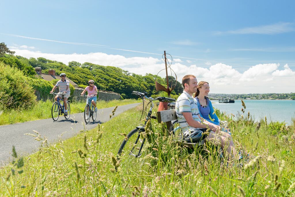
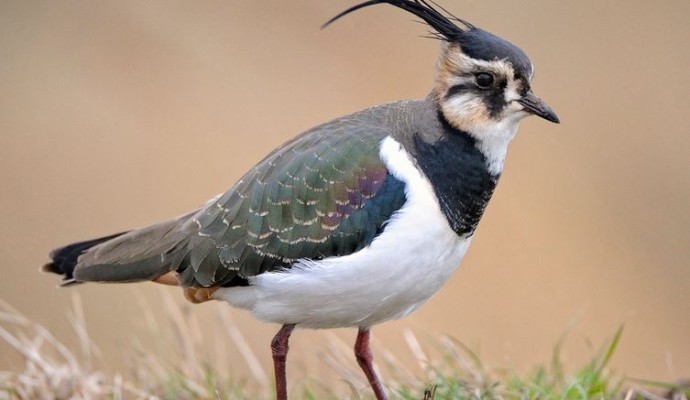
Photo of cyclists on the Tarka Trail alongside the estuary at Instow
Tarka Trail Credit: Guy Richardson

You can explore more in this area

Photo of a lapwing

The Taw-Torridge Estuary

The extensive Taw-Torridge estuary has a typical range of saltmarsh communities, with plants such as glasswort, sea aster and sea
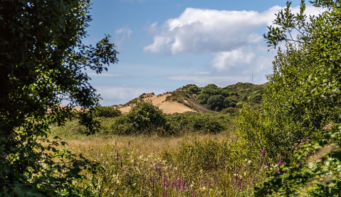
Photo across a dune slack to sand dunes in the background

Braunton Burrows

Lying at the entrance to the Taw-Torridge Estuary, Braunton Burrows is one of the most important sand dune systems in
Photo across a dune slack to sand dunes in the background

Braunton Burrows

Braunton Burrows is a dramatic series of sand dunes located at the mouth of the Taw-Torridge Estuary and is one
Photo across a dune slack to sand dunes in the background

Braunton Burrows

Braunton Burrows is a dramatic series of sand dunes located at the mouth of the Taw-Torridge Estuary and is one