5.5miles/
9kms

Torbay and the Dart Valley

About this route

This walk offers a superb means of enjoying the countryside between the well-known coastline of Torbay and the beauty of the Dart Valley.  Most of the route is waymarked; look out for the Greenway waymarks.


Getting Around

Buses on the main seafront route between Torquay/Paignton and Brixham pass the top of Broadsands Road. This is a frequent and regular service. There is a large car park on the sea front at Broadsands.


Facilities
Broadsands Road : shops and café; Broadsands : refreshments and toilets; Galmpton : village shop; Churston Ferrers : pub and restaurant
Terrain
Some relatively minor hills; a total of 8 stiles. There are three main road crossings where great care is needed.
Accessibility
Explore more, click to download pdf
Download

OS Maps

Explorer (1:25,000) no. OL20 South Devon
Landranger (1:50,000) no. 202 Torbay and South Dartmoor

For More Information

Travel Devon

Interesting information

The walk starts at Broadsands, between Paignton and Brixham, and includes spectacular views over Torbay and the River Dart. The eastern end of the walk links with the Coast Path at Broadsands, while the western end meets the Dart Valley Trail. This Trail gives further opportunity for walks up and down the Dart, to Totnes and Dartmouth.

The viaduct carries the private Paignton and Kingswear Railway and if you are lucky you will see one of the company’s steam trains. The line dates back to 1861 and the modern steam railway has run it since the 1970s.

Galmpton Warborough is an area of common whose name indicates it was once a look-out area. The view is still very extensive, over Torbay to the East Devon coast visible beyond on a clear day. The remains of a windmill may be seen at the rear of the common.  Although now an outer suburb of Torbay, Galmpton was once a quite isolated village and is recorded in the Domesday Book.

Note the old milestone alongside the road indicating the distance to Totnes.

Galmpton Creek, an inlet of the River Dart. The creek is much used by water birds; you are almost certain to see geese. The village on the far side of the main river is Dittisham.

Notice the chimney in Lower Greenway Farm, the farm had a steam engine in the 19th century, used to power a variety of farm machinery.

As the track rises, views on the left open up to encompass both Tor Bay and the Dart, with Dartmoor in the background.  As the track descends more panoramic views open up of Tor Bay to Hope’s Nose, the northern limit of the Bay.

The bridge carried the railway of the Brixham branch. Unused by trains since the 1970s, it still carries the railway number 225.55, indicating it is 225 miles and 55 chains from the terminus at Paddington.

You will pass the original centre of Churston. Now a pub and restaurant, Churston Court is an Elizabethan house in origin. The church tower dates as far back as 1300.
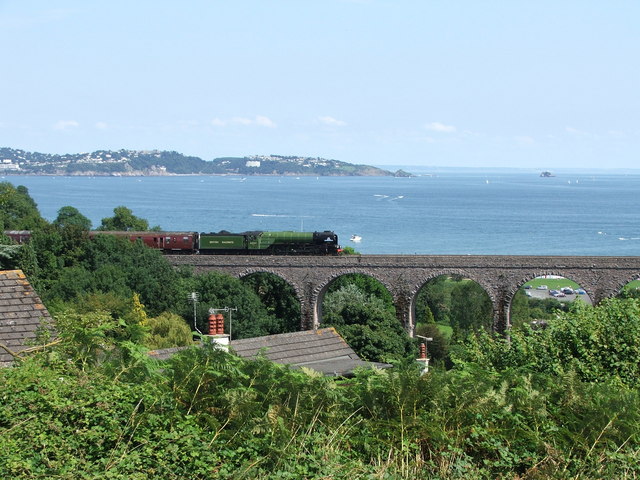
Photo of Broadsands viaduct with a train crossing it and the sea and coastline in the background
Broadsands Viaduct Copyright Barrie Cann

You can explore more in this area

Photo of the sea and cliffs at Hope's Nose Torquay

Hope’s Nose to Walls Hill

The coastline from Hope’s Nose north to Walls Hill shows the connection between geology and wildlife and is of national
Photo of the sea and cliffs at Hope's Nose Torquay

Hope’s Nose to Walls Hill

The coastline from Hope’s Nose north to Walls Hill shows the connection between geology and wildlife and is of national
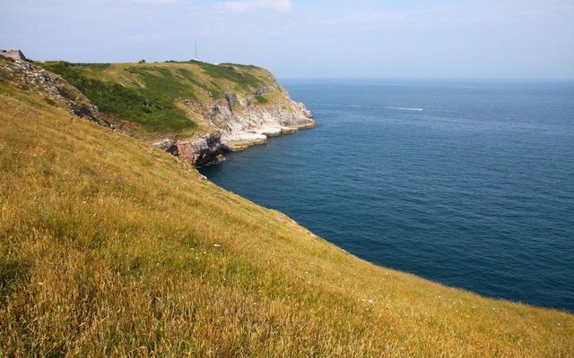
Photo of grassy fields down to coastal cliffs and the sea at Berry Head

Berry Head, Brixham

Berry Head offers spectacular views across Torbay.  So it is not surprising that it was chosen as a strategic location
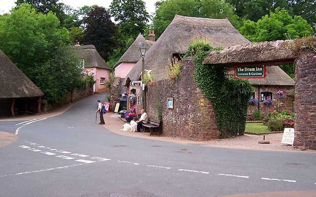
Photo of a public house, The Drum Inn, in the village of Cockington
6miles/
9.5kms

Following John Musgrave

This walk offers a sample of the route, using the very frequent and convenient bus service which links Torbay to
Photo of a trail through woodland
35miles/
56kms

John Musgrave Heritage Trail

John Musgrave was a keen walker from Torquay who left a legacy to the South Devon Group of the Ramblers
Photo of grassy fields down to coastal cliffs and the sea at Berry Head

Berry Head, Brixham

Berry Head offers spectacular views across Torbay.  So it is not surprising that it was chosen as a strategic location
Photo of grassy fields down to coastal cliffs and the sea at Berry Head

Berry Head, Brixham

Berry Head offers spectacular views across Torbay.  So it is not surprising that it was chosen as a strategic location