Baggy Point to Saunton

About this route

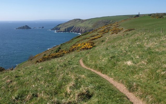
The coastline from Baggy Point south to Saunton Sands is a magnificent sight. The rocks are about 370 million years old (Devonian) and include a wide range of sedimentary rock types such as sandstones, shales, slates and limestones. The bulk of these were probably laid down in shallow marine or brackish waters. Today, the effect is impressive and the coastline boasts rugged cliffs rising in places to 60m. There is evidence of the past stresses and pressures that have been at work here, with dramatic folding and fractures in the rocks being quite common.

Getting Around

On foot: from Croyde Bay the site can be accessed from the South West Coast Path.

By bus: there are regular buses from Barnstaple to Saunton, see the Travel Devon website for the latest times.

By road: the site is located approximately 8 miles along the B3231 from Barnstaple. To access Baggy Point use National Trust car park at Croyde Bay.

Facilities
A number of easily accessible car parks along the coastline. Saunton Sands has parking, toilets and refreshments.
Terrain
Easy access path from Croyde Bay to Baggy Point. Other parts of coast path are steep with uneven terrain.
Accessibility

Interesting information

Of particular interest are the signs of the Ice Age activity in the area. Raised platforms cut by wave action at times of high sea levels are now home to a number of large boulders transported here by ice.  Some of these may have been carried considerable distances. The most famous, the Saunton Pink Granite (SS 44013787), weighs in at 12 tonnes and is likely to have come all the way from the north-west highlands of Scotland.  This can be viewed from the foreshore but, if visiting the erratic, please check the incoming tide times as there is the risk of being cut off from the beach.

The area is a designated Area of Outstanding Natural Beauty, Site of Special Scientific Interest and Voluntary Marine Conservation Area.
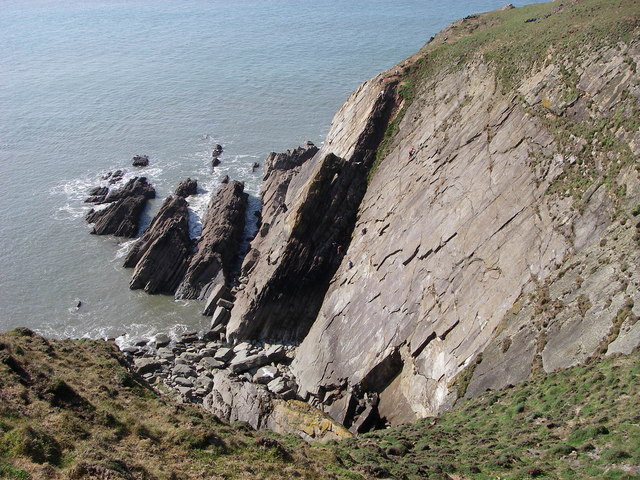
Photo looking down over rocky coastal cliffs towards the sea at Baggy Point
Baggy Point by Alan Bowring

You can explore more in this area

Photo of a lapwing

The Taw-Torridge Estuary

The extensive Taw-Torridge estuary has a typical range of saltmarsh communities, with plants such as glasswort, sea aster and sea
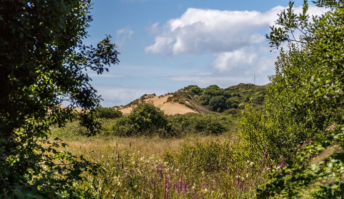
Photo across a dune slack to sand dunes in the background

Braunton Burrows

Lying at the entrance to the Taw-Torridge Estuary, Braunton Burrows is one of the most important sand dune systems in
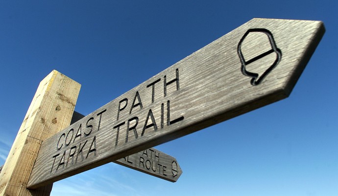
Photo of the top of a waymarking post for the Coast Path and Tarka Trail
163miles/
261kms

Tarka Trail walking route

Inspired by Henry Williamson’s much loved novel ‘Tarka the Otter’ which was based on real places, this 163 miles/261kms recreation
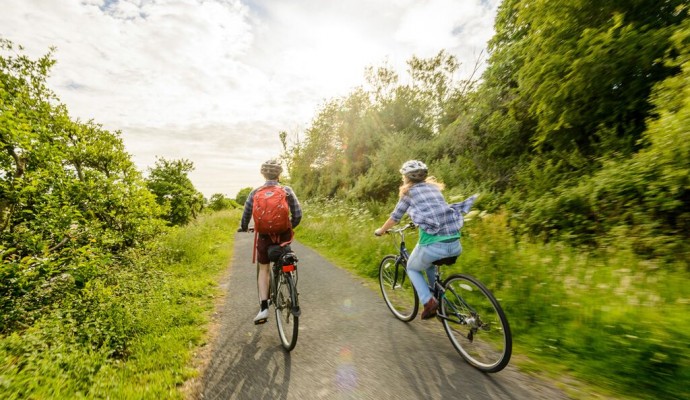
Photo of two cyclists on the Tarka Trail near Braunton
102miles/
163kms

Devon Coast to Coast NCN27

The route combines the beaches and estuaries of North Devon with the lush green valleys of the Torridge, the Tavy,
Photo across a dune slack to sand dunes in the background

Braunton Burrows

Braunton Burrows is a dramatic series of sand dunes located at the mouth of the Taw-Torridge Estuary and is one
Photo across a dune slack to sand dunes in the background

Braunton Burrows

Braunton Burrows is a dramatic series of sand dunes located at the mouth of the Taw-Torridge Estuary and is one