163miles/
261kms

Tarka Trail walking route

About this route

Inspired by Henry Williamson’s much loved novel ‘Tarka the Otter’ which was based on real places, this 163 miles/261kms recreation route follows Tarka’s journeys, in a figure of eight, through the northern part of the county, designated by UNESCO as a Biosphere Reserve.

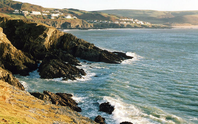
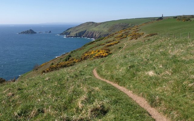
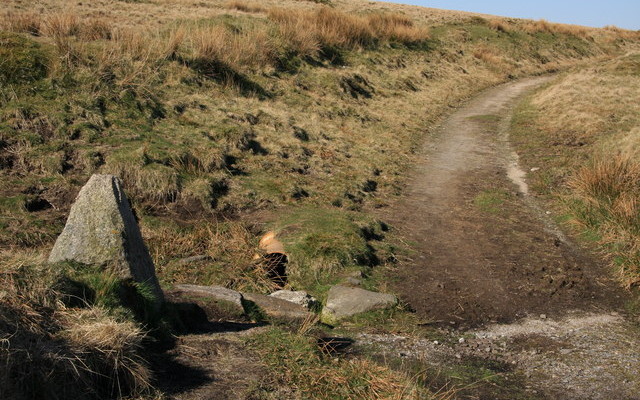
The Trail takes you through an ever-changing variety of some of the wonderful Devon scenery described in the book. You will pass through tranquil countryside, wooded river valleys, rugged moorland and dramatic coast.  It is a wonderful and sustainable way to explore this area.

Comprehensively waymarked, the walk varies from easy to challenging. Short sections of the trail and circular walks from it are ideal for day and half-day excursions.

The Trail passes through the towns of Lynmouth, Barnstaple, Bideford, Torrington, Okehampton and Ilfracombe and parts of it coincide with the South West Coast Path, the Two Moors Way and the Dartmoor Way.

Getting Around

The trail has both a north loop running from Barnstaple through Braunton, Croyde, Ilfracombe, Combe Martin and Lynmouth, returning to Barnstaple. The south loop runs from Barnstaple through Bideford, Hatherleigh, Okehampton, North Tawton and Eggesford, using the Tarka Line train to return you to Barnstaple. It is possible to start and finish your walk at a number of different points along the route. For details of public transport times see Travel Devon.

Facilities
Barnstaple, Braunton, Croyde, Woolacombe, Ilfracombe, Combe Martin, Lynton, Bideford, Hatherleigh, Okehampton and Eggesford have all facilities.
Terrain
Ranging from easy to challenging with flat, off road sections.
Accessibility
Explore more, click to download pdf
Download

Interesting information

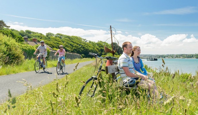
The  31 mile stretch between Meeth and Braunton runs along the line of an old railway, and is part of the National Cycle Network (Routes 27 Devon Coast to Coast and 3 West Country Way) and is one of the country’s longest continuous traffic-free walking and cycling paths.  The route is very easy to follow and starts initially at the pretty village of Braunton.  Between Barnstaple and Meeth the route is surfaced and suitable for all users including wheelchairs and pushchairs.

Along this stretch, interpretation boards, audio points and other information help you discover the heritage, culture and natural features you can see.

There are many valuable habitats alongside this section of the Tarka Trail including estuary mud flats and salt marsh, oak woodland, hazel coppice, hedges, ponds, streams, ditches, meadows and Culm grasslands.

A few miles south of Petrockstowe Halt, Devon Wildlife Trust has opened Meeth Quarry Nature Reserve to the public.  This new and exciting reserve can be accessed directly from the Trail.
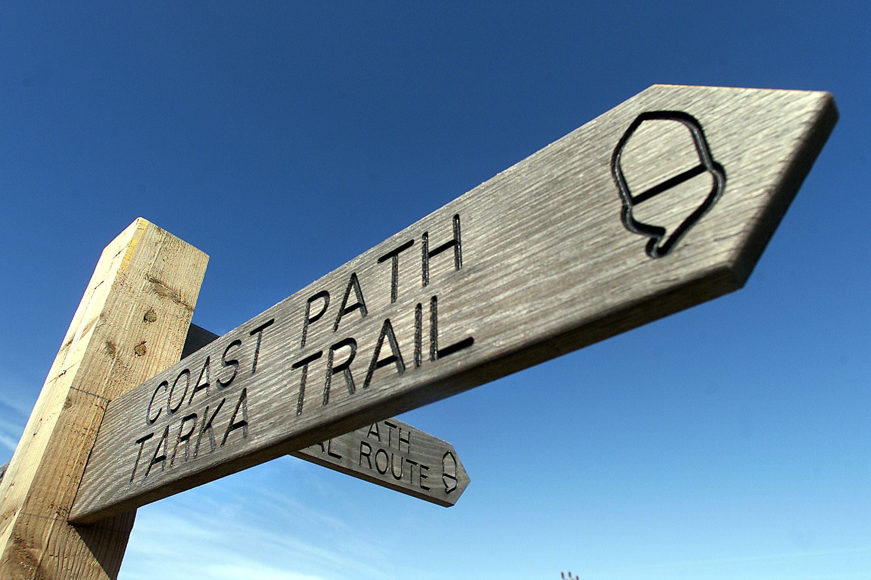
 

Photo of the top of a waymarking post for the Coast Path and Tarka Trail
Tarka Trail by Tim Cuff

You can explore more in this area

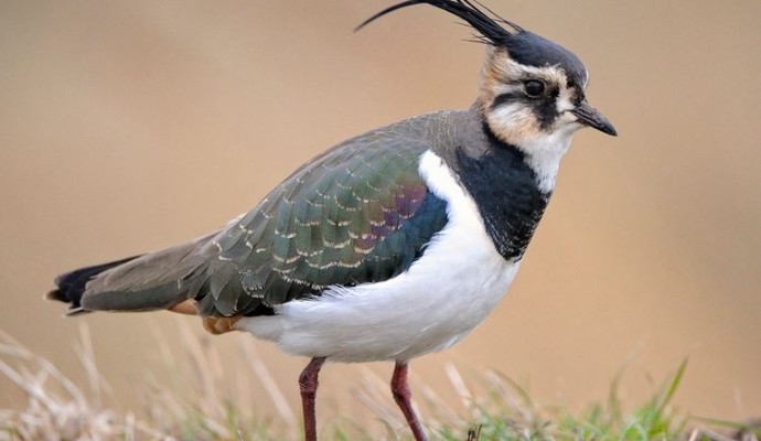
Photo of a lapwing

The Taw-Torridge Estuary

This extensive estuary has a typical range of saltmarsh communities, with plants such as glasswort, sea aster and sea rush
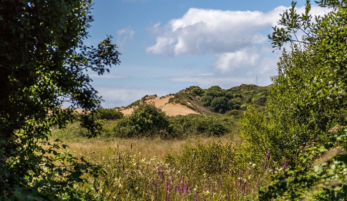
Photo across a dune slack to sand dunes in the background

Braunton Burrows

Lying at the entrance to the Taw-Torridge Estuary, Braunton Burrows is one of the most important sand dune systems in
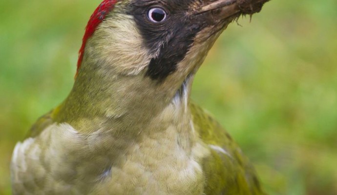
Photo of a green woodpecker

Halsdon

Halsdon consists of a mixture of ancient woodland, floodplain meadows and a magnificent length of the River Torridge immortalised by
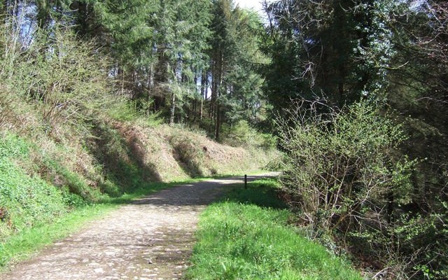
Photo of a track through woodland at Eggesford Forest
3miles/
4.8kms

Eggesford Forest

Eggesford Forest is a great place to visit. It has a network of trails and paths that link the different woodlands
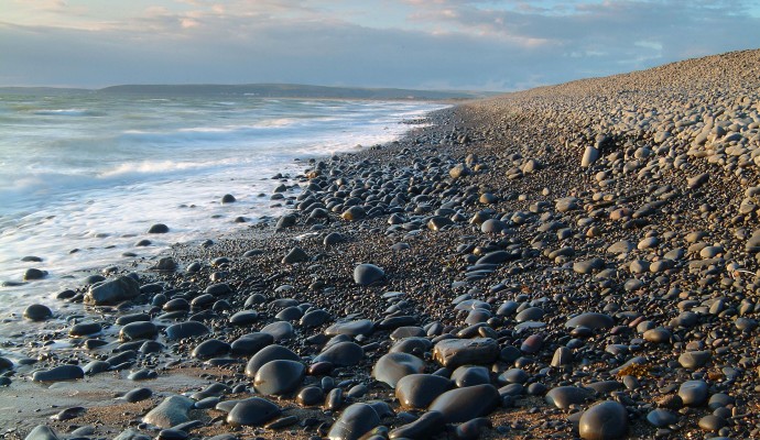
Photo of the shoreline on a pebble beach
1miles/
1.6kms

Northam Burrows Country Park

The Northern Burrows is a scientifically important area which juts out into the mouth of the estuary. It is a
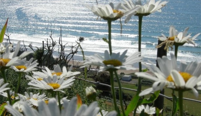
Photo of Ox-eye daisies on cliffs above the sea at Baggy Point
2.7miles/
4.3kms

Baggy Point

The SW Coast path out to a viewpoint at Baggy Point has been levelled and compacted to make access easier
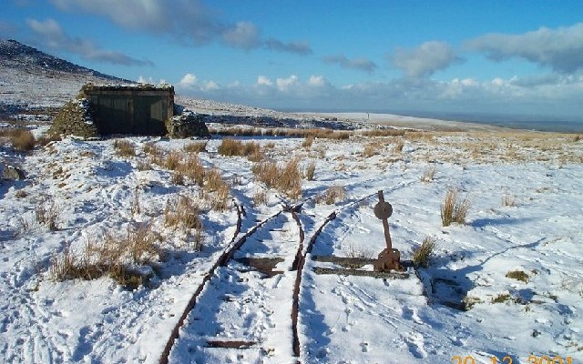
Photo of rail tracks on moorland in the snow near Okehampton Camp
3.5miles/
5.5kms

Ernest Bassett Walk

Ernest Basset was an Okehampton man and a lover of Dartmoor.  He appreciated it in all its moods, but also
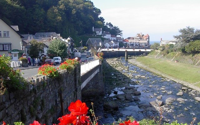
Photo looking down the river to Lynmouth town
5miles/
8kms

Devon’s Little Switzerland

This circular walk is based on the scenic little town of Lynmouth, on Devon’s Exmoor coast. A walk of contrasts,
Photo looking along the coast past rocky cliffs to Mortehoe and Woolacombe from Morte Point
6.25miles/
10kms

North Devon’s deadly coast

Mortehoe is a small hilltop village on Devon’s northernmost coast. Despite its proximity to the holiday resort of Woolacombe, it
Photo of a track through woodland at Eggesford Forest
3miles/
4.8kms

Eggesford Forest

Eggesford Forest is a great place to visit. It has a network of trails and paths that link the different woodlands
Photo of rail tracks on moorland in the snow near Okehampton Camp
3.5miles/
5.5kms

Ernest Bassett Walk

Ernest Basset was an Okehampton man and a lover of Dartmoor.  He appreciated it in all its moods, but also
Photo looking down the river to Lynmouth town
5miles/
8kms

Devon’s Little Switzerland

This circular walk is based on the scenic little town of Lynmouth, on Devon’s Exmoor coast. A walk of contrasts,
Photo of the Two Moors Way path across moorland with a granite way marker in the foreground
100miles/
160kms

Two Moors Way (Devon’s Coast to Co..

Running for just over 100 miles/160km between Ivybridge in the south and Lynmouth in the north, this famous path links
Photo looking along the coast past rocky cliffs to Mortehoe and Woolacombe from Morte Point
6.25miles/
10kms

North Devon’s deadly coast

Mortehoe is a small hilltop village on Devon’s northernmost coast. Despite its proximity to the holiday resort of Woolacombe, it
Photo of the shoreline on a pebble beach
1miles/
1.6kms

Northam Burrows Country Park

The Northern Burrows is a scientifically important area which juts out into the mouth of the estuary. It is a
Photo of Ox-eye daisies on cliffs above the sea at Baggy Point
2.7miles/
4.3kms

Baggy Point

The SW Coast path out to a viewpoint at Baggy Point has been levelled and compacted to make access easier
Photo of the Two Moors Way path across moorland with a granite way marker in the foreground
100miles/
160kms

Two Moors Way (Devon’s Coast to Co..

Running for just over 100 miles/160km between Ivybridge in the south and Lynmouth in the north, this famous path links
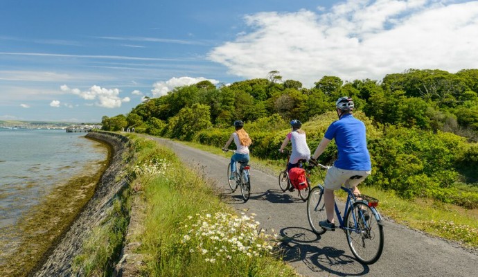
Photo of cyclists on the Tarka Trail alongside the estuary at Instow
32miles/
52kms

The Tarka Trail (Braunton – Meeth)

Stretching for over 52km / 32 miles from Braunton to Barnstaple, then to Instow, Bideford, Great Torrington and on to
Photo of cyclists on a trail under a viaduct on the Granite Way
11miles/
18kms

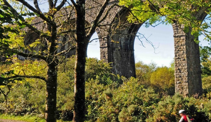
The Granite Way

The Granite Way is an 11 mile multi-use trail running between Okehampton and Lydford along the north western edge of
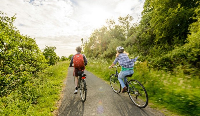
Photo of two cyclists on the Tarka Trail near Braunton
102miles/
163kms

Devon Coast to Coast NCN27

The route combines the beaches and estuaries of North Devon with the lush green valleys of the Torridge, the Tavy,
Photo of cyclists on the Tarka Trail alongside the estuary at Instow
105miles/
168kms

West Country Way NCN 3

The route can be ridden in either direction, it takes you through the varied landscapes of the West Country, from
Photo of cyclists on a trail under a viaduct on the Granite Way
11miles/
18kms

The Granite Way

The Granite Way is an 11-mile cycle and walkway running between Okehampton and Lydford along the north western edge of
Photo of cyclists on a trail under a viaduct on the Granite Way
11miles/
18kms

The Granite Way

The Granite Way is an 11-mile cycle and walkway running between Okehampton and Lydford along the north western edge of
Photo across a dune slack to sand dunes in the background

Braunton Burrows

Braunton Burrows is a dramatic series of sand dunes located at the mouth of the Taw-Torridge Estuary and is one
Photo across a dune slack to sand dunes in the background

Braunton Burrows

Braunton Burrows is a dramatic series of sand dunes located at the mouth of the Taw-Torridge Estuary and is one