21miles

North Devon VMCA

About this route

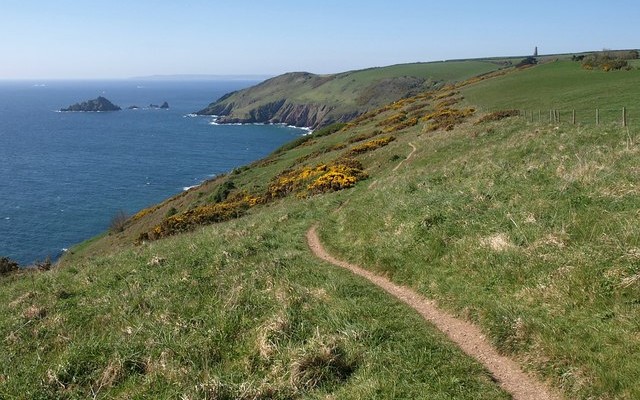
The North Devon Voluntary Marine Conservation Area (VMCA) runs for about 21 miles along the coast from Hangman Point in the east to Down End in Croyde in the west. It extends from the cliff base out into coastal waters to a depth of 20 meters. It was created in 1994 to help raise awareness of this beautiful stretch of coast and its wildlife.

The coastline has a wide range of shores and beaches, home to a diversity of coastal wildlife. For example, the area supports the rare and beautiful scarlet and gold star coral and the shy leopard spotted goby. In summer, sunfish and basking sharks may be spotted off the coast.

Getting Around

On foot: The South West Coast Path, a long-distance walking route, runs the entire length of the North Devon VMCA.

Facilities
The Devon Wildlife Trust organises guided rockpool adventures and organised events. There are mini-marine centres at Ilfracombe Museum, Mortehoe Heritage Centre and Braunton Countryside Centre.
Terrain
Coastal Footpath with some cliff edges.
Accessibility

Interesting information

This site is a Voluntary Marine Conservation Area (VMCA).
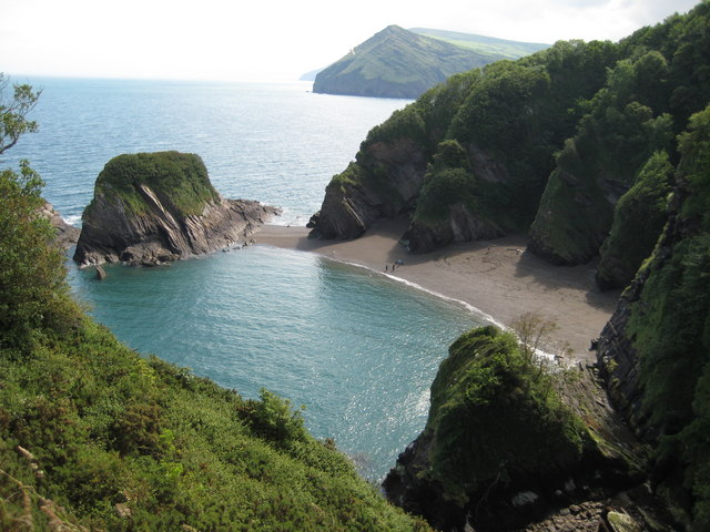
Photo looking down on sea and beach with rocky cliffs behind
Broadsands and Hangman Point, North Devon Coast Copyright Philip Halling, licenced for reuse - geograph.org.uk

You can explore more in this area

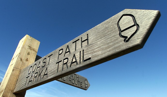
Photo of the top of a waymarking post for the Coast Path and Tarka Trail
163miles/
261kms

Tarka Trail walking route

Inspired by Henry Williamson’s much loved novel ‘Tarka the Otter’ which was based on real places, this 163 miles/261kms recreation
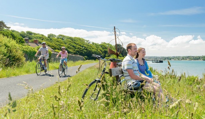
Photo of cyclists on the Tarka Trail alongside the estuary at Instow
32miles/
52kms

The Tarka Trail (Braunton – Meeth)

Stretching for over 52km / 32 miles from Braunton to Barnstaple, then to Instow, Bideford, Great Torrington and on to
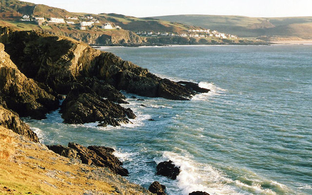
Photo looking along the coast past rocky cliffs to Mortehoe and Woolacombe from Morte Point
6.25miles/
10kms

North Devon’s deadly coast

Mortehoe is a small hilltop village on Devon’s northernmost coast. Despite its proximity to the holiday resort of Woolacombe, it
Photo of the top of a waymarking post for the Coast Path and Tarka Trail
23miles/
37kms

Tarka Trail Easy Walk

Entirely traffic free, this part of the Tarka Trail can be enjoyed in sections to suit your group.  This off-road route stretches for
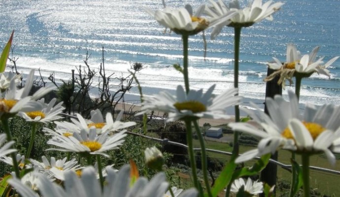
Photo of Ox-eye daisies on cliffs above the sea at Baggy Point
2.7miles/
4.3kms

Baggy Point

The SW Coast path out to a viewpoint at Baggy Point has been levelled and compacted to make access easier