Interesting information
This area is within a National Nature Reserve, Special Area of Conservation and a UNESCO World Heritage Site

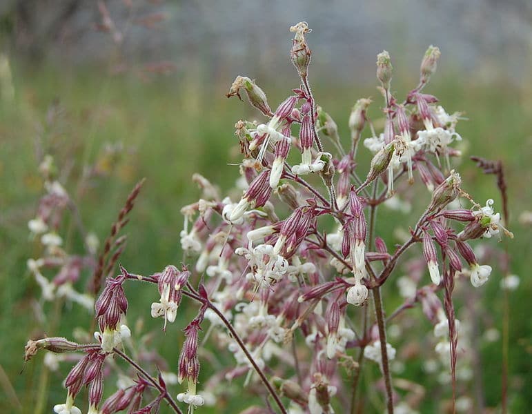
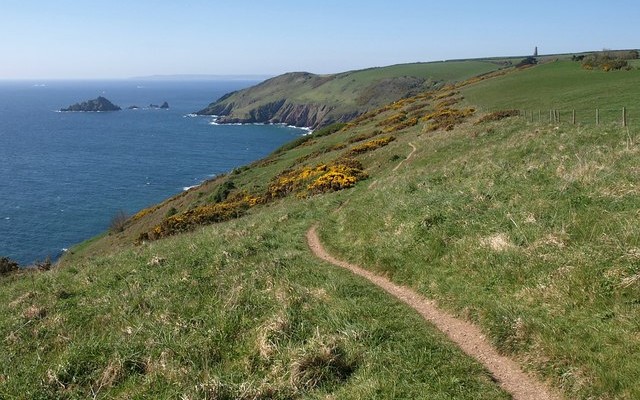
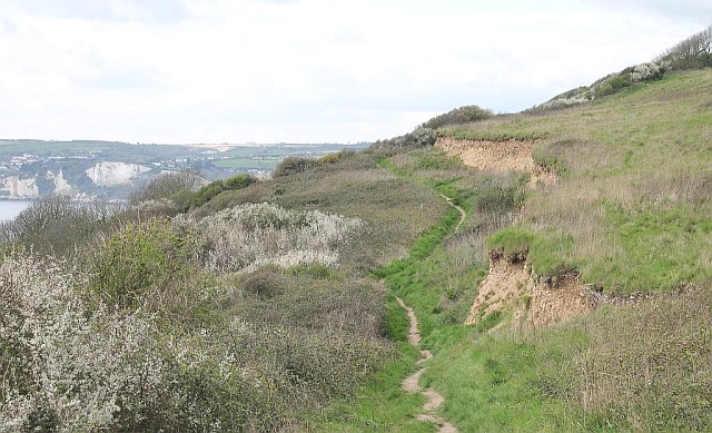
Axmouth to Lyme Regis Undercliffs is a magnificent reserve comprising of 304 hectares of coastal landslides and cliffs – one of the largest such areas in Britain. Where past landslides have stabilised, the site has developed an excellent example of ash woodland that is virtually untouched by man. The ash is joined by field maple, with a thick understory of species such as hazel and spindle where movement has been more recent. Where movement is very recent or still occurring, annual plants such as Nottingham catchfly can be found. This creates a varied ground flora mosaic. The site supports a variety of animal life, including a range of breeding birds and the uncommon wood white butterfly.
By bus: there are bus connections from the train stations at Axminster and Weymouth to Seaton and Lyme Regis, visit the Travel Devon website for more information.
By car: there are public car parks at both Seaton and Lyme Regis.
This area is within a National Nature Reserve, Special Area of Conservation and a UNESCO World Heritage Site


