Landscape in Devon

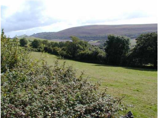
Devon has a diverse and special landscape, ranging from the open, windswept high moors of Dartmoor and Exmoor to the rugged coastlines of rocky cliffs and sweeping bays.  Secluded valleys, rolling hills of traditionally managed farmland, and settlements and buildings display its rich historic character. This variety is why so many people choose to visit and live in Devon.

Landscape is more than just scenery; it is formed and influenced by a number of factors. Climate has played a role influencing how the land has been farmed and the plants that grow, and people have changed the landscape over the centuries through farming and by housing, roads and rail lines, and other modern developments. However, it is the underlying geology that influences the soils and the plants that grow, and the building materials that local communities have used. The hills, valleys and estuaries have been shaped by the geology and they in turn have shaped the pattern of human settlement we see today.

A large part of Devon’s landscape and geology are protected through national or international designations.  This includes two National Parks, five Areas of Outstanding Natural Beauty, and two World Heritage Sites.  The Jurassic Coast is the only natural World Heritage Site in England. Although these protected landscapes are important, all landscapes in Devon have qualities and characteristics that are valued by visitors.

The geological processes that have shaped our county are still at work today, and our landscape is continually evolving and changing. Landscapes can offer aesthetic enjoyment, escapism, tranquillity, and a sense of belonging to an area with a distinct natural and cultural identity. Many landscapes in Devon inspire artists, writers and photographers whose work is enjoyed by all ages.

As you travel around Devon you are able to visit many places that reflect the County’s diverse and intriguing landscape.
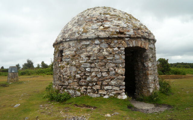
Small domed stone building.

Culmstock Beacon

Culmstock Beacon provides a stunning viewpoint south to the River Culm valley and the historic village of Culmstock.  The Beacon
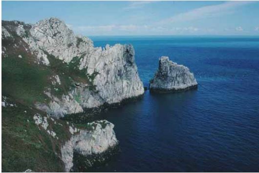
Photo of sea cliffs and sea on Lundy Island

Lundy

Lundy is an island in the Bristol Channel, lying only 18km from mainland Devon. It is just 5.5km long and
Photo of the sea and cliffs at Hope's Nose Torquay

Hope’s Nose to Walls Hill

The coastline from Hope’s Nose north to Walls Hill shows the connection between geology and wildlife and is of national
Photo of fields, woods and hills at Codden Hill near Barnstaple

Codden Hill

Codden Hill provides an excellent vantage point from which to see the surrounding features in the landscape that are related
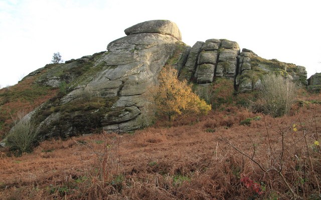
Photo looking up at the granite rocks off Blackingtone Rock on Dartmoor

Blackingstone Rock

Blackingstone Rock is a large tor situated in the eastern part of Dartmoor National Park.  It exhibits many of the
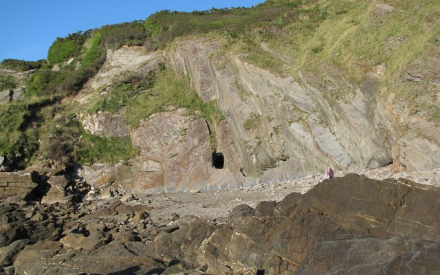
Photo of a rocky beach with cliffs at Combe Martin

Combe Martin Bay to Hele Bay

Starting within Exmoor National Park, this beautiful stretch of coastline reveals some dramatic geology of the Devonian age. There are
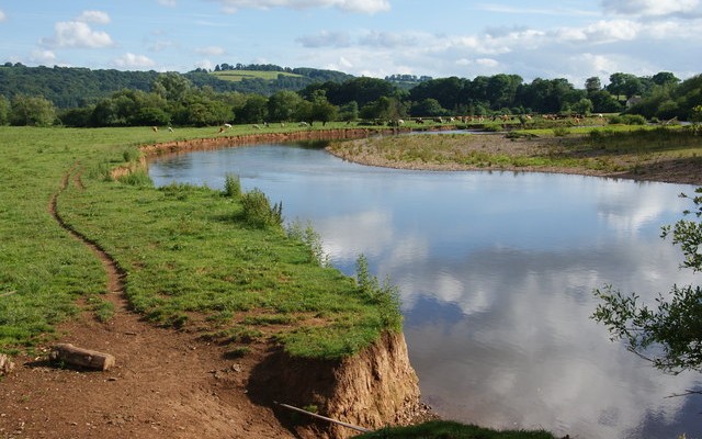
Photo of the river Exe through fields of cows at Brampford Speke

Brampford Speke

This site is an ideal and beautiful location to see the River Exe as it snakes its way through the
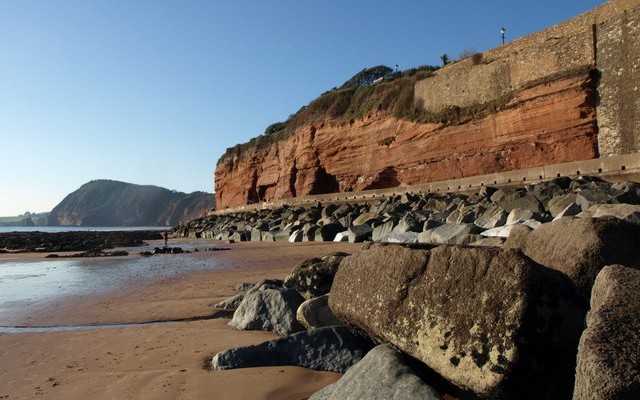
Photo of the red cliffs on Sidmouth seafront with High Peak hill in the background

Sidmouth to Beer Coast

Between Sidmouth and Beer the geology is strongly influenced by a gentle easterly dip in the layers of the rocks
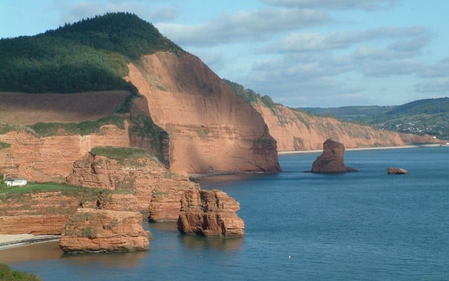
Photo looking across Ladram Bay in East DEvon with red cliffs and sandstone stacks

Ladram Bay to Sidmouth

The views from Ladram Bay to Sidmouth are some of the most dramatic on the East Devon coastline. Both Ladram
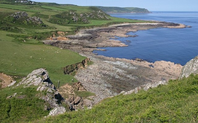
Landscape photo of Prawle Point showing coastal fields and rocky shore
6miles/
10kms

Start Point to Prawle Point

Start Point to Prawle Point is a truly beautiful stretch of south Devon coastline. It is underlain by rocks that
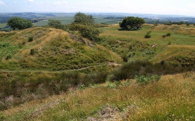
Landscape photos looking across grassy mounds of the iron age hillfort Blackdown Rings

Blackdown Rings

This site provides a stunning viewpoint showing the broad geological features of the South Hams. Blackdown Rings consists of an
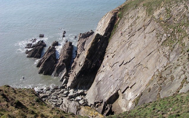
Photo looking down over rocky coastal cliffs towards the sea at Baggy Point

Baggy Point to Saunton

The coastline from Baggy Point south to Saunton Sands is a magnificent sight. The rocks are about 370 million years
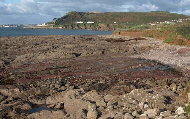
Photo of a rocky shore and the south Devon coastline at Andurn Point near Plymouth

Plymouth Sound, shores and cliffs

This magnificent coastal section runs along the eastern side of Plymouth Sound from Andurn Point northwards to Mount Batten Point.
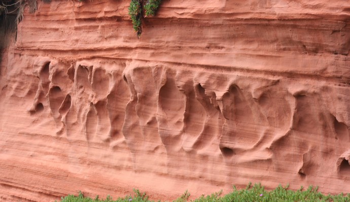
Close up photo of red sandstone cliffs at Dawlish

Dawlish Warren and Cliffs

Dawlish Warren is a fascinating place. This sand spit at the mouth of the Exe Estuary is not only of
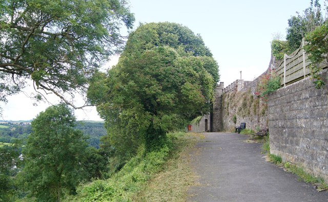
Photo of trees and wall looking towards Great Torrington

Barley Grove and Torrington Common

The beauty of this site is in its views. Standing at the viewpoint on Great Torrington Common, you can look
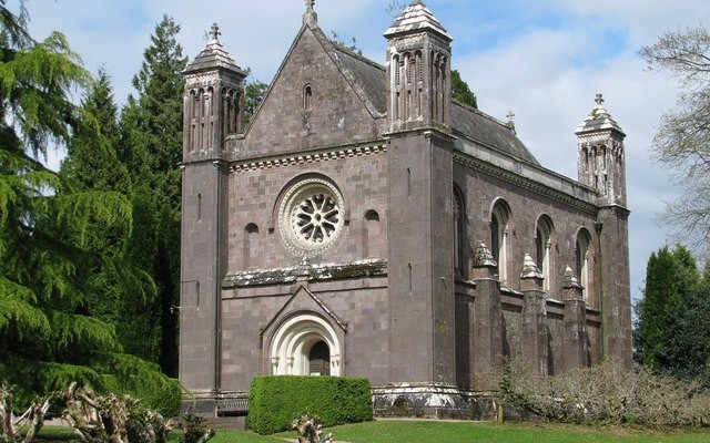
Photo of Killerton Chapel

Killerton Park

The area around Killerton shows signs of having experienced high levels of volcanic activity about 285 million years ago. Evidence
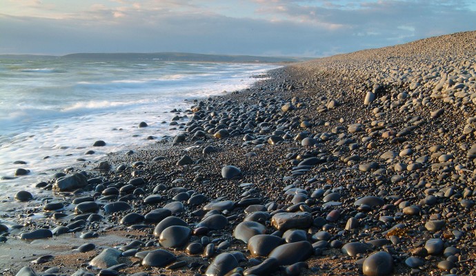
Photo of the shoreline on a pebble beach

Westward Ho! Cliffs and Northam Burrows

The Westward Ho! cliffs provide a good section of a raised beach platform well above the level of the present
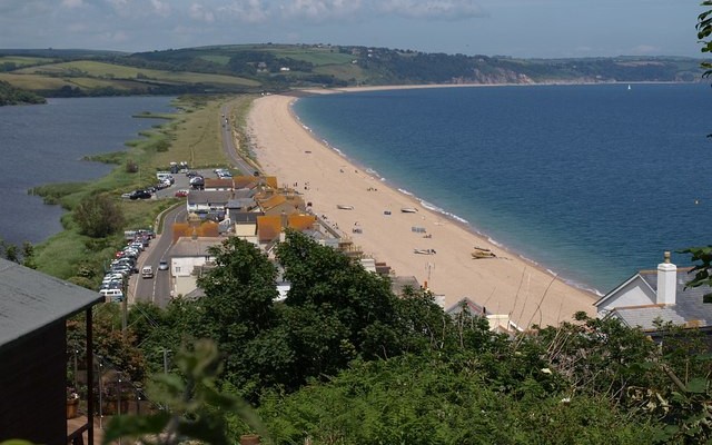
Landscape photo looking along the length of the beach and road at Slapton Ley with lagoon on the left and sea on the right

Slapton Ley

The main geological feature at this wonderful site is a dramatic shingle bar running from Strete Gate south to the
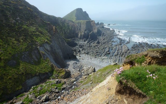
Photo of sea, rocky coast and north Devon coastal cliffs at Hartland Point

Hartland Point to Hartland Quay

Part of the North Devon Area of Outstanding Natural Beauty, this stretch of coastline is one of the most dramatic
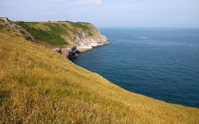
Photo of grassy fields down to coastal cliffs and the sea at Berry Head

Berry Head, Brixham

Berry Head offers spectacular views across Torbay.  So it is not surprising that it was chosen as a strategic location
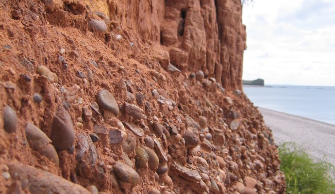
Photo of red cliffs and pebble bed layer above Budleigh Salterton Beach

Budleigh Salterton Cliffs and the Otter ..

The cliffs in the western part of Budleigh Salterton expose the full thickness of the Lower Triassic Budleigh Salterton Pebble
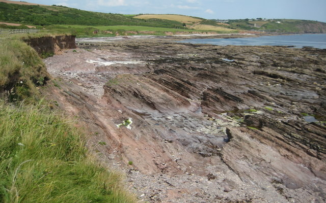
View across a rocky shore to Wembury beach

Wembury

This site spans from Wembury Beach west to Wembury Point. The area has been designated an Area of Outstanding Natural
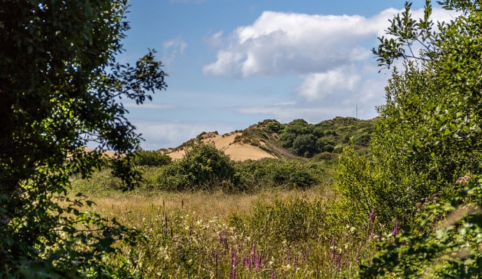
Photo across a dune slack to sand dunes in the background

Braunton Burrows

Braunton Burrows is a dramatic series of sand dunes located at the mouth of the Taw-Torridge Estuary and is one