Barley Grove and Torrington Common

About this route

The beauty of this site is in its views. Standing at the viewpoint on Great Torrington Common, you can look south over the valley of the River Torridge. Evidence of how the river has shaped the physical structure of the valley can be clearly seen.

You will see the river curve in from your left, then it runs along the bottom of the Common. Look at the inside of the curve and the slope rising up from the river. You will notice a series of terraces underlain by gravels. These terraces represent the past action of the river (erosion and deposition) as it has progressively cut down into the landscape.

Getting Around

On foot:  public footpaths run across the Common.

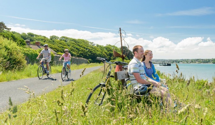
By bike: National Cycle Route 3 (the Tarka Trail) runs nearby.

By bus: There are regular buses from Bideford and Barnstaple to Great Torrington, see the Travel Devon website for the latest times.

By car: From the M5, take J27 then the A361 to Barnstaple, the A39 towards Bideford and then the B3232 to Great Torrington.

Facilities
Parking at Barley Grove car park, all facilities available in Great Torrington.
Terrain
Variety of trails from wheelchair friendly tarmacked surfaces to stoney and challenging walks.
Accessibility

Interesting information

Turning your attention to the Common below the viewpoint, you will be able to observe from some of the footpaths that there are several exposures of sandstones, siltstones and shales that are not normally easy to see. These were formed in deep water during the Upper Carboniferous (the same time that coal was being laid down in South Wales).

The rocks, comprising sandstones with interbedded shale and siltstone, can best be seen along ‘Sliding Rock Path’. The bedding dips south and some quartz veining occurs.

The site is managed by Torrington Common Conservators and Torridge District Council.
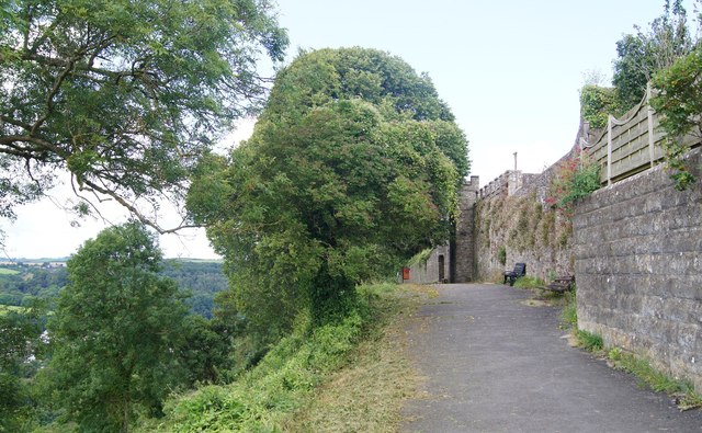
Photo of trees and wall looking towards Great Torrington
Great Torrington Common by SJB

You can explore more in this area

Photo of cyclists on the Tarka Trail alongside the estuary at Instow
32miles/
52kms

The Tarka Trail (Braunton – Meeth)

Stretching for over 52km / 32 miles from Braunton to Barnstaple, then to Instow, Bideford, Great Torrington and on to