Interesting information
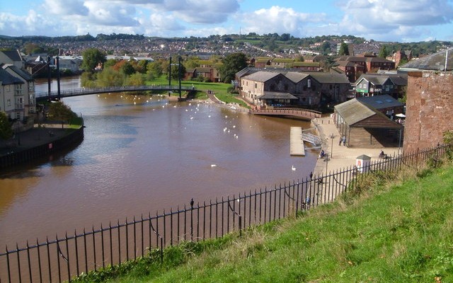
There was almost certainly some sort of quay at Exeter quay in the Roman times, but its present form largely dates from the late 1500s. It was much improved in the 1830s, when the imposing warehouses were built. At one end is the Custom House, dating from 1681 and said to be the first brick building in Exeter. Nearby is the shed of the old fish market which was erected in the late 19th century.
The footbridge crosses one of the leats used to power the industrial premises which were found nearby in medieval and later times. Next to the footbridge are former bonded wine warehouses of the 1870s and 1890s.
Cricklepit Bridge, was built in 1988 to link the Quay with the old canal basin.
The walk goes along the line of the Exe Valley Way. You will pass waymarks on this part of the walk. Just after the Piazza Terracina (named after Exeter’s twin town in Italy) is the basin of the Exeter Canal. The first part of the canal was completed in 1567, making it one of the first inland waterways to be built in England. It was originally built to bypass a weir which had been constructed across the Exe by the Countess of Devon in the late 1200s. This had the effect of cutting off Exeter’s link to the sea and thus boosting the Countess’s port at Topsham at the head of the estuary. The weir gave its name to the settlement which grew up there, Countess Wear.
The canal was successful and was extended further towards the sea in 1675, and then widened and improved in 1701. Further substantial improvements were undertaken between 1825 and 1830 by the famous Devon engineer James Green. These included a further extension to the canal’s current end at Turf Lock on the estuary as well as the building of the canal basin here.
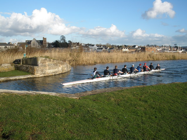
The lock on the left gives access from the river to the canal and quay. The canal’s current size dates from James Green’s improvements in the 1820s. Originally it was a good deal narrower. On the opposite side of the canal is the extensive green area of Exeter’s Riverside Valley Park, a popular recreational area with Exonians.
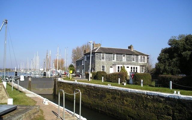
If refreshment is needed, the lock gates can be crossed. The lock raises or lowers the canal water level 10 feet/3 metres. The current gates were installed as part of the improvements in 1701, replacing 3 earlier locks which were the first pound locks in England. The Inn was built at about the same time, or perhaps a little earlier, and its design shows Dutch influence. It is likely that all the canal improvements around this time were carried out by Dutch engineers.
There are actually two parallel bridges, one of which lifts, the other swings, to allow the passing of craft up and down the canal.
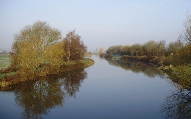
Countess Wear bridge was built in 1770 and then widened in the 1930s. It is said to be on the site of the weir which caused the building of the canal and gave rise to Countess Wear’s name. Looking upstream, there are views of the line of Haldon Ridge, the hills which frame the western skyline of Exeter.
In the old village of Countess Wear, most of the houses at this end are relatively modern, but no. 59 on the right, an impressive building, dates from around 1770. A little further on, also on the right, is Mount Wear House, the home of Exeter’s Youth Hostel. This is even older, dating from the late 1600s.
The first, roughly surfaced, part of Mill Road can be rather wet and difficult to pass without boots after heavy rain. If you find it is too wet, continue along Countess Wear Road instead, until reaching the Tally Ho! Inn (if in need of refreshment you may wish to go this way anyway). Turn left at the Inn into Mill Road then, after bearing left, take the public footpath on the right. This is Mill Lane, you have rejoined the main route.
The ruins of the old mill is an important industrial archaeological location. The mill is an historic site. Countess Isabella (who built the famous weir) first had a corn mill built here in 1284. It was rebuilt in 1658 and then was used as a paper mill, making paper from rags. It was destroyed by fire in the early 1800s and rebuilt. The existing ruins are of the 1800s rebuilding. It was closed in 1885. There was a plan to use it to produce hydro-electric power, but it never materialised. Look at the board on site for further information.
The leat is of ancient origin, being constructed to power the original 13th century mill. When the idea of building a canal to avoid the weir was first proposed, it was thought the leat could be widened to be used as the canal route, but this never happened.
Old Abbey Court commemorates St. James Abbey, or Priory, which was built near here in medieval times. All traces of it disappeared long ago.
Until fairly recently this was Exeter City Council’s nursery, where the plants used for bedding in the city’s floral displays were propagated.
A little further on the path passes Trew’s Weir over the Exe. This was built to ensure a depth of water in the river to top up the canal. Its name commemorates John Trew, who built the canal in the 16th century.
Opposite the weir is Trew’s Weir Paper Mills. There is a date stone of 1780 on the wall. It may incorporate an older mill. It was used as a paper mill from 1835 until well into the 20th century. The two paper mills in a short distance illustrate how important this industry once was in Devon


