4.5miles/
7kms

EXE VALLEY WAY CIRCULAR Exeter’s riverside and skyline

About this route

This walk is on the Exe Valley Way in Exeter, linking it to the western skyline overlooking the city. It is entirely on surfaced lanes and paths, making it ideal for the weather conditions of winter and early spring.

Getting Around

Exeter is an important centre for public transport and is easily reached by bus and train. Much of the walk is close to various of the numerous bus routes linking the suburbs to the City Centre. Car parking is plentiful, with the Cathedral and the Quay Car Park especially handy for the walk.

Facilities
Exeter Quay (pub, refreshments, toilets, shop); Nadderwater (pub); Exwick (pub, shop).
Terrain
One long but fairly gentle climb; no stiles.
Accessibility
Explore more, click to download pdf
Download

OS Maps

For More Information

Interesting information

The site of the Quay was certainly in use in the medieval times, when Exeter was an important port, and may go back to Roman times. Notice especially the Custom House, built in 1681 as the first brick building in Exeter, and the high warehouses of the 1830s. Next to the river is the canopy of the late 19th century fish market. The Quay’s old-world appearance led to the filming of the television series “The Onedin Line” here in the 1970s.

The two Exe Bridges were built in 1969 and 1972 and replaced a bridge of 1905. Previous bridges date back to medieval times and the remains of one may still be seen on the City side of the river.

Further along the walk you’ll pass St. Thomas railway station. The station dates from 1846 when it was built as part of the atmospheric railway venture for trains without locomotives.

Once in St. Thomas, you’ll Notice St. Thomas Church on your left. The current church is largely a rebuilding of 1657, after the earlier building was burned during the Civil War. Originally a chapel stood here, rebuilt as a church in 1412 to serve the settlement which was growing even then.

Just after passing Bowhay Lane is Bowhill House, the remains of a 15th Century manor house. Building was begun in 1422 for Richard Holland, landowner and MP. It is now in the care of English Heritage.

Near Exwick Lane is Cleeve House (also spelt Cleve or Cleave). This house dates to the 17th Century, with later additions. It has had numerous influential landowners over the years, as well as being the local headquarters of the Guide Dogs for the Blind Association in more recent years.

After crossing Moorland Way, continuing down Exwick Hill, you’ll see the Hermitage on your left. This has origins as a 16th Century cottage. It was considerably rebuilt in 1830 by a local landowner as a desirable residence. Further down is the Square, the site of earlier cloth works for bleaching, rolling, winding, etc.
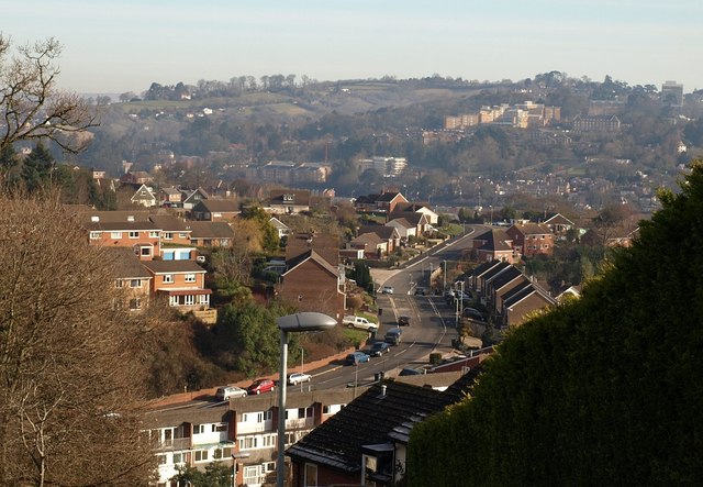
Photo looking over Exeter from Redhills
View from Redhills Exeter Copyright Derek Harper

You can explore more in this area

Photo of cyclists on the Tarka Trail alongside the estuary near Instow
16.4miles/
26kms

Exe Estuary Trail

This newly constructed cycle trail offers an almost entirely traffic-free, wonderfully level route which forms part of the South Coast
Photo of cyclists on the Tarka Trail alongside the estuary near Instow
16.4miles/
26kms

Exe Estuary Trail

This newly constructed cycle trail offers an almost entirely traffic-free, wonderfully level route which forms part of the South Coast
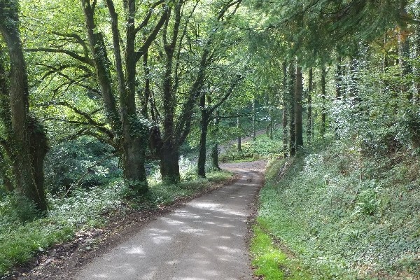
Photo of a quiet lane between trees on the Exe Valley Way
45miles/
72kms

Exe Valley Way

The Exe Valley Way is a long-distance route for walkers exploring the length of this beautiful river valley. The trail
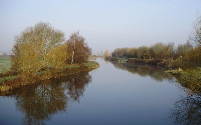
Photo of the Exeter Ship Canal at Countess Wear
5.25miles/
8.5kms

Exeter Ship Canal

Exeter Ship Canal forms part of the Riverside Valley Park, managed by Exeter City Council.  Although the canal is over
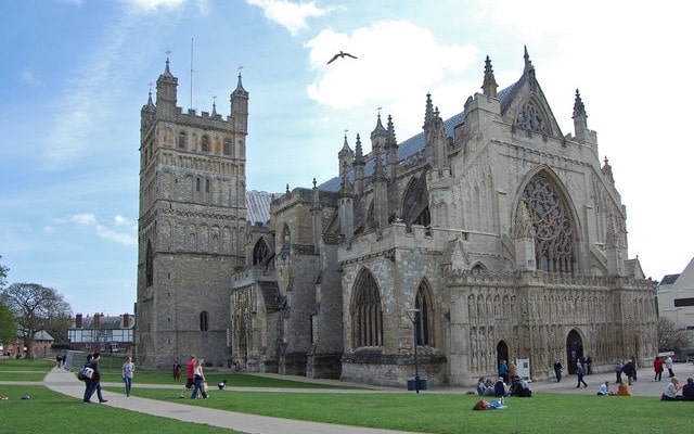
Photo of Exeter Cathedral

Exeter City Walls and Cathedral

Over 70% of the wall that once protected Exeter still remains and reveals a lot about the geology of the
Photo of Exeter Cathedral

Exeter City Walls and Cathedral

Over 70% of the wall that once protected Exeter still remains and reveals a lot about the geology of the
Photo of the Exeter Ship Canal at Countess Wear
5.25miles/
8.5kms

Exeter Ship Canal

Exeter Ship Canal forms part of the Riverside Valley Park, managed by Exeter City Council.  Although the canal is over