Lundy

About this route

Lundy is an island in the Bristol Channel, lying only 18km from mainland Devon. It is just 5.5km long and less than a kilometre wide, and has been designated England’s first Marine Nature Reserve (MNR). A visit to the island is a unique and worthwhile experience.


Lundy is also protected as a Site of Special Scientific Interest (SSSI) and Special Area of Conservation (SAC) designations.  It lies within the North Devon UNESCO Biosphere Reserve.

Getting Around

Ferry: From Bideford or Ilfracombe.

Train and Bus: Frequent services from Barnstaple train station to Bideford or Ilfracombe.

For further details please view www.lundyisland.co.uk or www.nationaltrust.org.uk.

Facilities
Open all year. The ferry operates from late March to late October and a helicopter service operates thought the winter months for staying visitors. A Landrover can be provided at the jetty for disabled visitors. There is a pub and shop, and accommodation (book in advance).
Terrain
Steep rough track from jetty to main part of island
Accessibility
Explore more, click to download pdf
Download

Interesting information

Lundy has a vast amount of varied terrain with high, rugged cliffs to the west and gentle grassy slopes to the east. There are many activities on offer to the visitors of Lundy including bird-watching, walking and fishing.

Some of the rocks that make up Lundy began to form 380 million years ago when shallow marine muds were laid down and then compressed and heated to form slates. These ‘Morte Slates’ crop out in the extreme south-east of the island near the quay. However, most of Lundy is composed of granite, though not the same 280 million year old granite seen at Dartmoor. Instead it is a mere 60 million years old. It was injected into the Morte Slates during a period of volcanic activity connected with the opening of the Atlantic Ocean.

Unlike mainland Devon, Lundy was covered by glaciers during the Ice Age and this had a profound effect upon the shape of the island. It originally took the form of a cone but the ice decapitated this, leaving the flat topped island we see today.
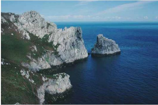
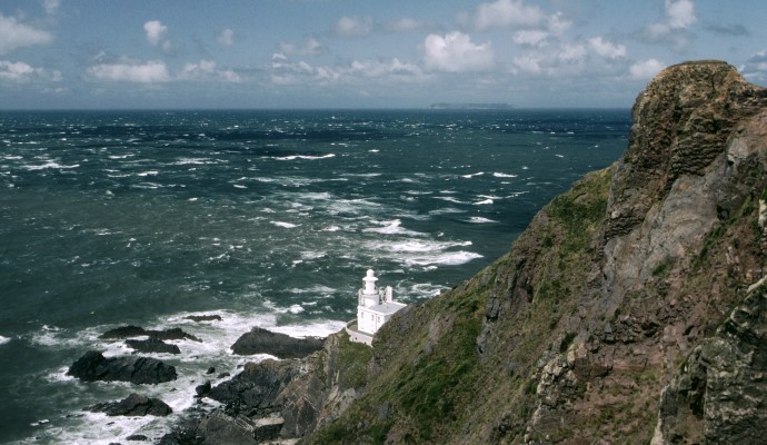
Photo of sea cliffs and sea on Lundy Island
Lundy Cliffs

You can explore more in this area

Photo of the light house at Hartland point in north Devon, looking down the cliffs to the lighthouse and out over a rough sea towards Lundy
8miles/
12.5kms

A Walk with a Point

Hartland Point is Devon’s north westerly extreme. It marks where the Bristol Channel effectively becomes the open sea and the
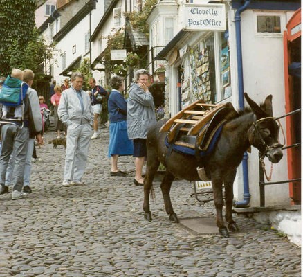
Photo of a donkey tied up outside a shop in Clovelly high street
5miles/
8kms

Clovelly’s Woods And Cliffs

Clovelly is undoubtedly among the best known and probably best loved of Devon’s villages. Occupying as it does a dramatic
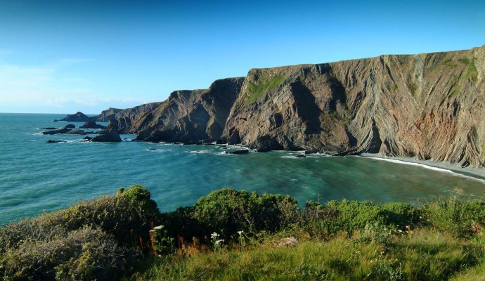
Photo of the Hartland Peninsula showing coastal cliffs and sea
7miles/
11kms

Devon’s Iron Coast

The coastline in Devon’s far north-west corner between Hartland Point and the Cornish border is possibly some of the most