Interesting information
Yelverton is a relatively new settlement, largely owing its existence to its station on the Great Western Railway. It was built in 1859 and closed, with the rest of the local railway, as part of the Beeching cuts in the 1960s. Prior to the station, there was little more than a farm here.
Roborough Down is a low moorland plateau lying a little apart from the main mass of Dartmoor. It was used as a Second World War airfield and the remains of grass-banked Spitfire shelters remain.
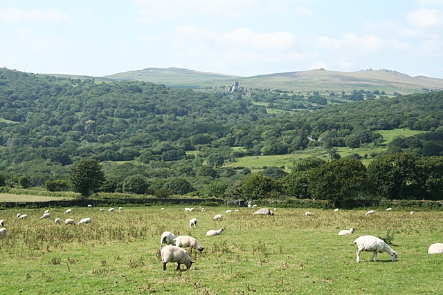
Along the walk you get superb views of the south west side of Dartmoor. The main body of the moor can be seen the distinctive outline of Brentor Church on its conical hill. Walkers continuing on the West Devon Way beyond Tavistock would pass close to this landmark on their way to Okehampton.
Immediately below the path on the right can be seen the village of Horrabridge and the Walkham Valley.
A good view opens out of the Walkham Valley with West Down on the opposite side. Geographically West Down is another outlier of Dartmoor, although it is not included within the National Park. Beyond West Down can be seen the woodland which marks the line of the Tavy Valley.
The remains of an old copper mine can be seen the wonderfully named Virtuous Lady Mine. Some of the spoil heaps are on the left. The track you would have been following would have been a main access for this mine.
This picturesque spot is Double Waters, the meeting place of the Walkham with the Tavy, which is the river on the left. Dippers and grey wagtails breed here, and the rivers are used by otters.
West Down is an area of acidic grassland important for its butterflies, including nationally important populations of the high brown fritillary and the pearl bordered fritillary.
At Walreddon Farm, the present buildings date to Tudor times and the location is first mentioned in 1329. However, the name is from the Saxon for “community of Britons”, indicating that a Celtic settlement existed here after the Anglo-Saxons had colonised most of the surrounding area.
As the land descends, good views open up over Tavistock, the town laid out with Brentor behind. More immediately on the left, over the Tavy Valley, can be seen the stone buildings of Crowndale Farm, said to be the birthplace of Sir Francis Drake.
Notice the attractive terraces of cottages some of them dated. These were miners’ cottages, built by the Duke of Bedford who owned all the land and mines around during the 19th Century, when Tavistock was a major mining centre. The cottages date from the 1840s and 50s.
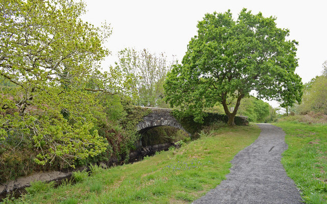
The waterway is the Tavistock Canal. This was built between 1803 and 1817 to take minerals from the mines which had been collected at Tavistock to the river port at Morwellham. Much of the canal was constructed by French prisoners of war. The total length of the canal was 4 miles/6.5 km and included a tunnel some 1.5 miles/2.5 km long. The first 2.5 miles/4 km from Tavistock makes a pleasant walk.
As the name Wharf suggests, it was the main wharf for loading the mined ore onto the canal. It is now a much-used Community and Arts Centre.


