Interesting information
The walk gives a good introduction to the Dorset and East Devon Coast World Heritage Site. Often referred to as the “Jurassic Coast”, this is England’s first natural World Heritage Site, important for displaying 185 million years of earth history in just 95 miles. The coast actually displays not just Jurassic but also older Triassic and newer Cretaceous rocks too. In fact, this walk is actually over Cretaceous geology at Beer and Triassic at Branscombe.
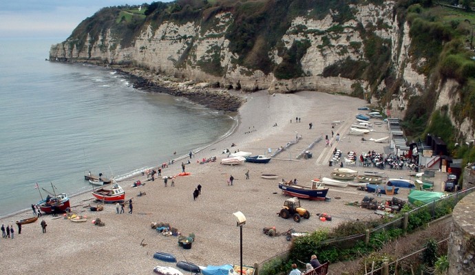
Beer has been a fishing centre since Tudor times and fishing remained an important source of income until the 1950s. Indeed, in the early 20th Century it was the third most important fishing port in Devon. This income was in early days supplemented by smuggling. Beer was the home of perhaps Devon’s most famous smuggler, Jack Rattenbury, who later reformed and in 1837 published his memoirs.
Beer was also one of the centres of the East Devon lace-making industry, brought to the area by Flemish immigrants in the 1500s. Part of Queen Victoria’s wedding dress was made of Beer lace and in the mid 19th Century there were 400 registered lace-makers in the area.
The pump or conduit head sits over the stream which runs down the village street, dating from the 18th Century. On the right is Starre House, one of the oldest in Beer, dating from the 1500s.
You will pass a row of almshouses. These attractive buildings date from 1820, when they were built by Lady Rolle of the local estate.
Beer has never been on the national rail network, but does have its own station, Beer Victoria. This is part of Pecorama, a centre of model rail layouts, a 7¼” light railway, children’s and adults’ activity areas and landscaped gardens. It also has a restaurant and refreshments in the Pullman Car at the station.
Mare Lane gives an idea of the original scale of the first part of the lane. Mare Lane leads into a quiet and attractive countryside. Views over a deep valley to South Down Farm on the skyline can be seen. A vantage point near the top of the lane gives a splendid view back to the coast beyond Seaton to the largest of the undercliffs along this coast.
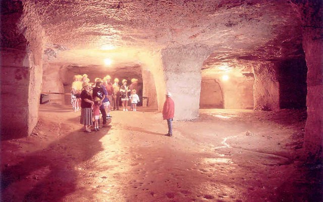
Beer Quarry Caves can be reached from the minor road between Beer and Branscombe. They date back to Roman times and were last used in the 1920s. Use of Beer stone was widespread in medieval times and almost every East Devon church, and many beyond, used Beer stone. Most notably it was used in Exeter and Winchester cathedrals. All the stone was cut by hand and the roofs of the caves are supported by uncut rock. The caves are open to the public during the summer.
The more modern quarries are associated with the caves. These were opened in the 1880s to produce lime for burning as fertiliser.
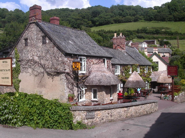
The valley of Branscombe is very picturesque, and the village is scattered along it in a series of separate little hamlets. Below is part of the hamlet of Vicarage.
The Masons Arms is a pub renowned locally and, indeed, further afield, for its cuisine. As a public hostelry it can trace its origins back to the 17th Century.
From the bottom of the Branscombe valley, you will see another of the village’s hamlets, that with the church, school and village hall.
The first part of the climb up the edge of the field follows the South West Coast Path, but at the top of the first field the Coast Path forks right to pass through a caravan site and then the Hooken Undercliff, one of the cliff falls along this length of coast.
Hooken Undercliff was formed one night in March 1790 when ten acres of cliff land dropped 60-80m/200-250 feet vertically and also slumped 200m/220 yards seawards. Notable are some stacks of chalk still standing which withstood the cliff movement.
Just before Beer Head will be seen the line of the South West Coast Path climbing steeply out of the undercliff to join the cliff top path.
Beer Head and its surroundings form the most westerly chalk outcrop in England. Associated with the chalk is flint, also the most westerly occurrence in England, and the source of prehistoric flint tools found throughout the south west. Possibly associated with this, remains of a prehistoric field system have also been found here.
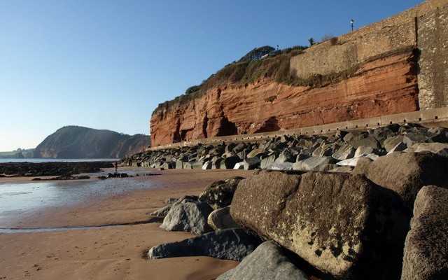
As the path rounds Beer Head, there are superb views ahead over Seaton Bay. Beyond Seaton is a good view of another, even larger, undercliff. This, the Axmouth-Lyme Regis Undercliff, resulted from a large cliff collapse in 1839.


