Interesting information
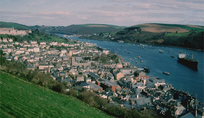
Within Tor Bay, next to the headland, and largely sheltered by it, is the ancient fishing port of Brixham. The South West Coast Path links Brixham with its neighbouring headland, and this walk uses the Coast Path to give a feel both of the open coast and also of the fishing port. To make a circuit, there is an inland link taking in part of Brixham’s hinterland.
The statue was erected in Victorian times. It commemorates the landing at Brixham in 1688 of William of Orange, King William III, together with his wife Mary, the daughter of the deposed King James II, on his way to London to take the throne.
The original town was based further inland, and even the harbour was inland of where it now is. The old harbour has now been built over and is occupied by the modern car park and bus station area.
Higher Brixham church, marks the original centre of the town, positioned away from the coast for protection.
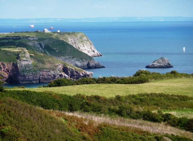
The walk reaches the South West Coast Path, and this is followed back to Brixham. Sharkham Point gives views back along the coast to Scabbacombe Point. Nearer are Scabbacombe Sands and Man Sands, with its old coastguard cottages.
Sharkham Point is now a superb spot, with views, picnic facilities and car parking. However, in the past is has been the site of iron mines, quarries and later, a tip site.
St Mary’s Bay was once known as Mudstone Bay, probably because of the soft and crumbly nature of the cliffs and rocks, but the name was dropped once tourism become important to the area.
The South Fort guarding Berry Head, it was built as part of the fortifications of the headland for the Napoleonic Wars, when Brixham and Tor Bay were important for servicing the Navy.
Berry Head is important as a nature conservation site, principally because it is an extensive area of limestone grassland. It supports many nationally rare plants. The cliffs are well known for the largest colony of guillemots in southern England. These distinctive birds are known locally as “Brixham penguins” because of their distinctive appearance.
The apparatus is a radio navigational aid, forming part of the UK’s Air Traffic Control system, covering a range of 80 nautical miles.
The main headland was occupied by a cliff “castle” in Iron Age times, and the name “Berry” derives from the Anglo Saxon word for a fortification, so there is a long history of defence on the headland. The defences now seen form the Northern Fort of the Napoleonic Wars, built 1794-1804 to protect Brixham and Tor Bay from French attack.
Berry Head lighthouse was built in 1906 it has the reputation of being the highest and lowest lighthouse in the country – highest because it is built at a height of 60m, or nearly 200 feet and lowest because it is only 45m or 15 feet high, to avoid being obscured by mist and low cloud.
The views from the end encompass the whole of Tor Bay and beyond to the red cliffs of the East Devon coast. In the opposite direction, views can be seen back to Sharkham Point with Scabbacombe Head beyond.
The circular area was a limestone quarry and area of lime kilns, where lime was burnt to produce fertiliser.
The hotel was built as a military hospital during the Napoleonic period. Later, it became the home of the Reverend H F Lyte, vicar of Brixham, known as the writer of the famous hymn “Abide with me”.
The breakwater is a considerable feature, with a length of some 3000 feet or 914m. It was built in 1893 and extended in 1909 and 1912.
The main fishing harbour is seen opposite. Fishing has always been important to Brixham and in the 1840s the town was home to some 270 fishing vessels. Although numbers are now much reduced, Brixham remains one of the premier fishing ports in the whole country.

