Interesting information
The Station Restaurant has the unmistakable architecture of a GWR building, although no trains ever ran to Dartmouth. It was originally intended by Brunel that the line from Paddington would cross the Dart a little upstream to terminate in Dartmouth. However, difficulties meant that a bridge across the Dart was never built and the railway only ever went to Kingswear on the opposite bank. However, tickets to and from Dartmouth could be bought, including the ferry crossing, hence the station.
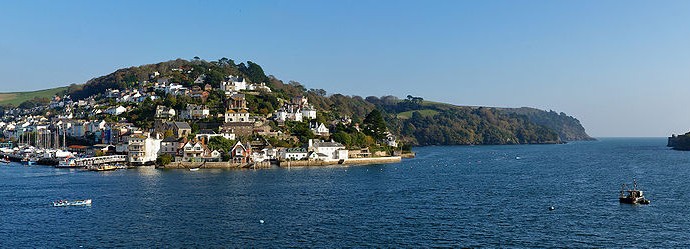
The ferry lands next to Kingswear Station. This was the end of the GWR line from Paddington and was closed by British Rail in 1972. However, a private company bought the length of line from Paignton and it now operates as a steam railway. This offers a wonderfully scenic trip of 30 minutes which follows the coast as well as climbing high above the estuary. Kingswear Station has featured in numerous period films and television series, including “The French Lieutenant’s Woman” and episodes of “Poirot”.
Until fairly recently a fish quay occupied the area where the boatyard and its associated marina are now. Kingswear was especially important for the crabbing industry, the shellfish being both sold locally and transported up country on the train.
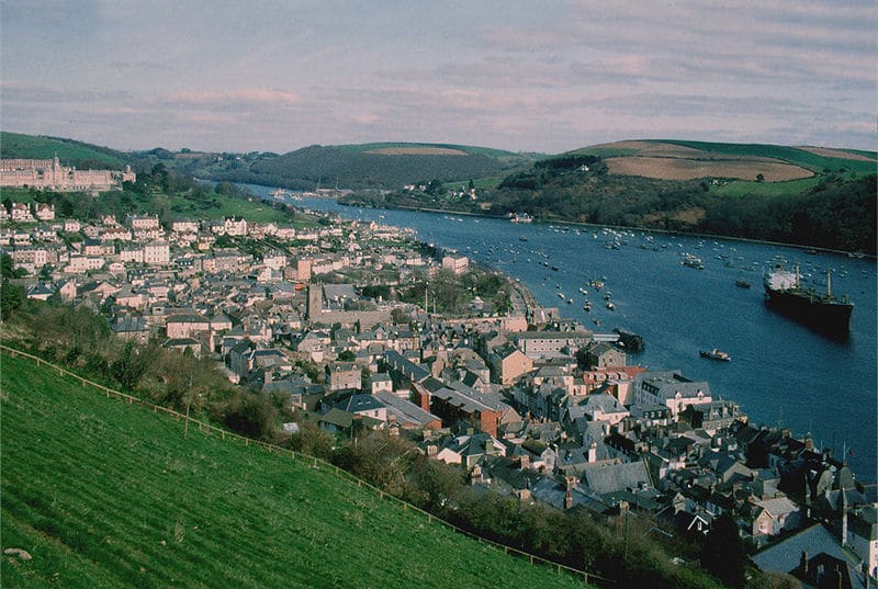
The path gives superb close-up views of the estuary as well as a splendid panorama of the Dartmouth waterfront opposite and the Britannia Royal Naval College on the hill above.
There was a station on the railway at this point, known as Britannia Halt. It was built to serve the Naval College opposite. The college was built in 1902-05 to train naval officers and replaced an old ship, the “Britannia”, which was moored in the estuary.
The Higher Ferry is technically a “floating bridge” and runs on two chains which cross the river and return to the bed once the ferry has passed. It was opened as long ago as 1831.
Much of riverside Dartmouth comprises land reclaimed from the estuary. The first part of the Embankment was reclaimed as recently as the 1930s whereas the central area around the Boat Float [the little inland harbour] dates to reclamation in the 17th century.


