Interesting information
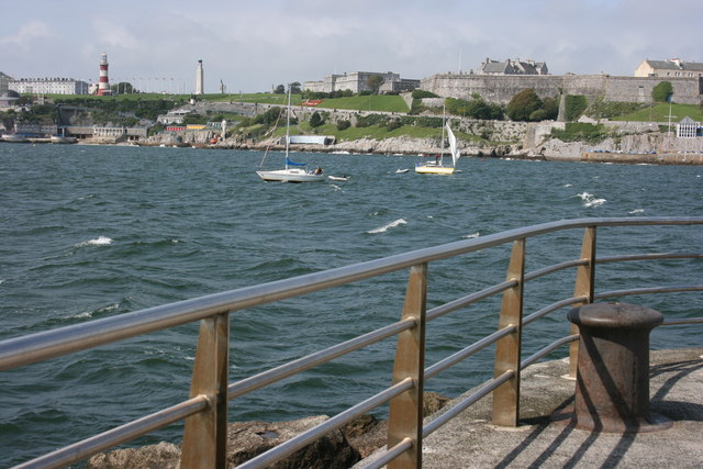
There are superb view over Plymouth Sound along the walk. From left to right it encompasses the Breakwater, Penlee Point, Kingsand and Cawsand, Mount Edgcumbe, Drakes Island, the Tamar Estuary and Plymouth, with the Hoe foremost.
The stones are part of Plymouth’s Waterfront Walkway project to enhance the Coast Path through the city.
The Mount Batten is a defensive site dating back to the Bronze Age. More recently it became a seaplane base, with squadrons of RAF flying boats. It ceased to be used by the RAF in 1992.
The defensive tower on the summit dates to the 1650s and the Dutch wars. There are views from here over the Sound, Sutton Harbour (Plymouth’s original port) and the Cattewater, which is the estuary of the River Plym.
Mount Batten Breakwater stretches out into Plymouth Sound, giving splendid views, especially of the Citadel opposite. Yet another defensive work, the Citadel dates to the 1660s.
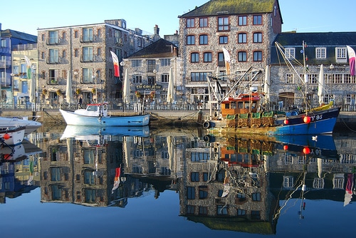
Turnchapel has an olde-worlde feel, reminiscent of its past as a village in its own right and a favourite retirement place for sea captains.
Hooe Lake is a tidal creek off the Plym Estuary. “Lake” in this name reflects an Old English word for a watercourse, not the modern meaning. Note the piers over the water, which carried the old railway branch from Plymouth to Turnchapel.
Hooe, like Turnchapel, is an old settlement in its own right. Note the old stone stile at the top of the hill.
Radford Castle and Causeway were built in the mid-19th century. Despite its appearance, it is not a defensive site but was built as accommodation for the estate’s “keeper”. The estate was the home of the Harris family, local landowners and friends in their time of Sir Walter Raleigh.
Just past Radford Castle the Coast Path is joined by two other routes on Devon’s long-distance footpath network, the West Devon Way to Tavistock or Okehampton and the Erme-Plym Trail to Ivybridge.
Radford Lake is the inland extension of Hooe Lake; the causeway means it is now brackish water rather than fully tidal.
This last section gives some good long-range views of Dartmoor over to the left. The route has now arrived at the edge of the old village of Staddiscombe.
This quiet and peaceful track, running alongside a stream much of its route, was once the main access road into Bovisand.
Fort Bovisand was one of the ring of forts built to defend Plymouth by Lord Palmerston in the 19th century. Never used in war, they became known as Palmerston Follies. Fort Bovisand is now a diving centre.
The bridge crosses a man-made cutting used for lowering supplies to Fort Bovisand.


