Interesting information
The route gets its name from the Templer family. James Templer purchased the Stover Estate near Newton Abbot in 1765, after making his fortune at sea. His son, also James, built the Stover Canal in 1792 between Teigngrace and Newton Abbot, originally to carry clay. In turn, his son, George, built the Granite Tramway to link Haytor with the Canal to move the granite. It was then “exported” from Teignmouth and was used to build the old London Bridge (now in Arizona) and the National Gallery.
The granite trade ended in the mid-1800s, but the Stover Canal and the Teign Estuary continued to be used to carry clay to Teignmouth Docks from the pits inland of Newton Abbot. This trade continued until 1940.
This walk follows a section of the Templer Way through Newton Abbot and along a length of the Teign Estuary. It then follows one of the South of the Teign Estuary Walks, a series of walks set up by Teignbridge District Council to complement the Templer Way.
The watercourse next to the path is known as the Whitelake, and is the link used by the barges between Stover Canal and the River Teign. Its name comes from the white colour it acquired from the clay workings upstream.
The River Lemon is a major tributary of the River Teign, which it joins, along with the Whitelake.
The main quay for Newton Abbot and until the 19th century it was also the main means of getting goods to and from the town, the roads of the time being so poor. The coming of the railway destroyed most of its trade. The bollard in the centre marks the location of the quay’s crane.
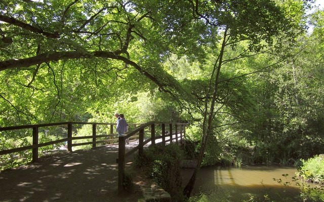
The Aller Brook is a nature reserve, forming a green wedge into Newton Abbot. The information board by the bridge indicates what might be seen here.
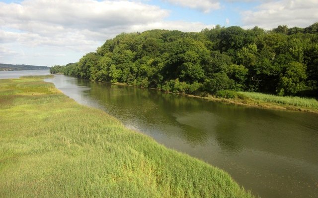
There are extensive reed beds along the estuary. These form a valuable habitat for wildlife, especially birds, and marsh-loving birds such as sedge and reed warblers are common here.
The buildings on the opposite the river are part of the Passage House Inn complex. The name indicates the former existence of a ford and a ferry crossing here, when the lowest road crossing of the river was at Teign Bridge, the other side of Newton Abbot. Notice how quickly the estuary has widened out here.
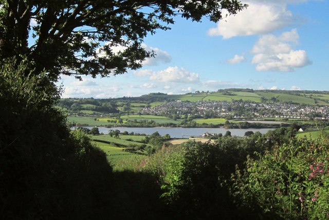
The outline of Teignmouth is visible at the mouth of the river. The village on the opposite bank is Bishopsteignton. It gets its name from being the site of a “palace”, or country residence, of the Bishops of Exeter in medieval times. The remains can still be seen, now part of a farm, just outside the village.
At Netherton Point, there is a large heronry in the private woods, and herons are often seen on the estuary. Looking back, there is a good view of Haytor, the start of the Templer Way.
The area around Coombe Cellars Inn was renowned for smuggling in the early 19th century, it remote location at that time making it ideal. There is a tradition of a tunnel being built under the river to transport the contraband over the Haldon Hills to Exeter, but this is most unlikely. The cellars in the name pre-date the pub, deriving from earlier salt pans here. There is a Templer Way information board just past the pub.
The area south of the Teign estuary is criss-crossed by a number of tracks, all of them old roads, making it an ideal way of exploring this attractive, hilly terrain. The area is known as Teignhead. This has no connection with the river name, but is a corruption of “Ten Hide”, a hide being an Anglo-Saxon unit of land measurement. When the origin had been forgotten, the name changed because it was assumed it derived from the river.
One of Teignhead’s many valleys is laid out, culminating in Haccombe House at its head. Georgian house of c. 1805, built on the site of a medieval hall. Next to the house, almost hidden in the trees, is Haccombe Church, notable for its fine medieval work.
The attractive cob and thatch cottages probably date back to the mid 17th century.
Manor Cottages are a division of a fine 17th century house. Just beyond is Manor Farm, again of 17th century origin.
The track towards the end of the walk is an interesting track, its size and width indicate that it must once have been quite important, yet it leads only to the estuary foreshore. Also, it is called Hackney Lane, although Hackney is actually on the other side of the River Teign. It was once the main access to the early ferry and ford crossing to the Passage House Inn over the river
