Interesting information
There is fantastic sea views. Looking east across to Dawlish Warren and over the Exe Estuary to Exmouth. You can see the start of the Jurassic Coast World Heritage Site at Orcombe Point and further beyond into Dorset, on a clear day.
Dawlish Warren is a National Nature Reserve (NNR) supporting over 2000 species of invertebrates and 620 different plants, many of them rare species. Conservation grazing by ponies along the Warren is essential to maintain the site in good order for its many wild and human visitors. The Warren is also holder of the European Blue Flag Award.
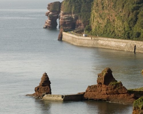
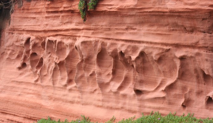
The stunning red Permian rocks are separated from the mainland by Brunel’s railway cutting. The Red Rock Café has set up residence at the headland. It is not unusual to see dolphins swimming along this part of the coast on early summer mornings when the sea is calm.
The present station dates from the 1870s and retains an unusual signal box in what is now the station’s car park. At the far end of the car park are the remains of one of the pumping houses designed by Isambard Kingdom Brunel for his ingenious yet ill-fated atmospheric railway in the 1840s.
You will see the buildings and huge wheel of the former Strand or Torbay Mill, now a restaurant. The water wheel, 30ft in diameter and of pitchback type, was cast by Bodleys of Exeter. The brick built launder has been restored in recent years and the wheel now turns again.
Along Brunswick Place, notice the fine Regency houses in the road and across the lawn.
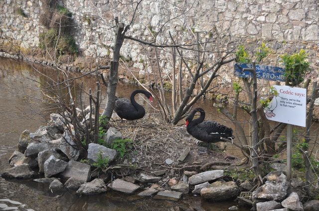
You might spot the unusual residents of the brook which runs through Dawlish – the famous black swans. They were introduced to the town from New Zealand by John Nash, a Dawlish born man who emigrated during adulthood but paid frequent visits to the town. The swan has been the town emblem for over forty years.
At St. Gregory’s Parish Church, the tower is the oldest part of the church as the rest of the building was rebuilt in the 19th Century.
By the Newhay Falls you will see another sluice and the junction where the Leat comes off the Brook from the Alley Valley.
Along Weech Road you will see an imposing grey stone house, formerly the vicarage. Many years ago there was an idea to run a railway line around the back of Dawlish and this building was earmarked as the potential station.
Walk on past some attractive thatch cottages, at the bottom of Badlake Hill, a former cider making farm and malt house. Go past The Swan and continue along passing the attractive cottages and noting the Victorian Gothic drinking fountain set in the corner of the opposite wall.
Ferris Brewery once stood along High Street. The Brewery made beers from local barley and mineral waters. From time to time, bottles used by the brewery with a unique round marble stopper, are found in the area.
