16.4miles/
26kms

Exe Estuary Trail

About this route

This newly constructed cycle trail offers an almost entirely traffic-free, wonderfully level route which forms part of the South Coast NCN No.2.

The trail takes you right around the Exe Estuary from Dawlish to Exmouth, passing through the pretty villages of Starcross, Topsham and Lympstone to name a few.  The estuary is of international importance for wintering waders and wildfowl, supporting thousands of birds.  RSPB reserves near Topsham and Dawlish Warren National Nature Reserve offer some of the best opportunities to view wildlife along the estuary.

Getting Around

By bike: cycle hire facilities
By car: parking available at many places along the trail including Dawlish, Exeter, Topsham and Exmouth.
By train: railway lines run adjacent to trail, visit the Travel Devon website for stations and times.
You can also use different ferries to take you across the estuary, from Starcross to Exmouth, Topsham to Exminster, Topsham to Turf Locks and Exeter Quay to Double Locks.

Facilities
Refreshments and toilets in Dawlish, Starcross, Exeter, Topsham, Lympstone and Exmouth. Cycle hire in Dawlish Warren, Exeter Quay and Topsham.
Terrain
The Trail is surfaced throughout and is flat and easy cycling.
Accessibility
Explore more, click to download pdf
Download

Interesting information

The Exe Estuary is a destination that can be explored again and again.  It is one of the most important estuaries in Europe for wildlife, particularly birds, and has several international designations.  It is an essential high-tide roosting site for the many thousands of birds that migrate to the estuary each winter.  They feed and rest on these areas during high tide and then move back on to the rich mud flats to feed on worms, snails and shellfish as they are revealed by the falling tide. Thousands of birds come to feed, on migration, or to spend the winter here.

Topsham is famed for its shipbuilding and maritime history, and was once a larger port than Exeter itself.  Now still delightfully self-contained with its shops, Dutch houses, quay and open spaces, it offers many attractions to the summer or winter visitor.  At its southern end is Bowling Green Marsh, the main high tide roost for the north of the estuary.  High numbers of black-tailed godwits can be seen and many widgeon graze on the Marsh.

The Old Sludge Beds Devon Wildlife Trust Reserve covers an area of land sandwiched between the River Exe and the Exeter Canal.  Until the construction of a  new water works in 1969, the Old Sludge Beds were the final breakdown site for treated sewage sediment.  The abandoned settling lagoons were dug out to create small ponds, now with established reedbeds, which provide a great location for wildlife, especially birds.  Follow the paths and boardwalks around the site or sit at the viewing platform to watch the bird life.

The Exminster Marshes are an area of wet grassland drained by dykes and ditches, and are an important breeding ground for lapwings and redshanks. Ducks, including shovelers and teals, also breed here.  In winter, the marshes provide roosting and feeding areas for waders such as curlews and black-tailed godwits, and brent geese graze the drier areas.  The ditches have a good dragonfly fauna, including the rare hairy dragonfly.

Dawlish Warren, as well as being a popular beach, is a National Nature Reserve.  It is an area of grassland, sand dunes, mudflats and centres on a 1½ mile long sandspit and beach across the mouth of the Exe Estuary.  The dunes and grassland have a host of special plants; over 600 different types of flowering plants have been recorded on the Warren. This varied Reserve has many different habitats including salt marsh, fresh water ponds, wet meadows and woodland.

Photo of cyclists on the Tarka Trail alongside the estuary near Instow
Tarka Trail cyclists Credit: Guy Richardson

You can explore more in this area

Photo of a stream through fields on the East Devon Way
38miles/
60kms

East Devon Way

This 38 mile/60km path takes you from Exmouth in the west to Lyme Regis, Dorset in the east, and follows
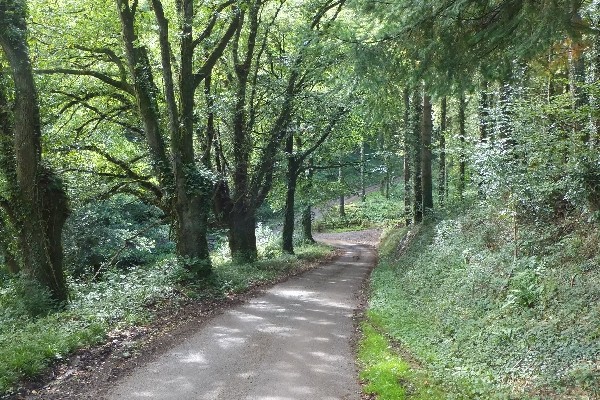
Photo of a quiet lane between trees on the Exe Valley Way
45miles/
72kms

Exe Valley Way

The Exe Valley Way is a long-distance route for walkers exploring the length of this beautiful river valley. The trail
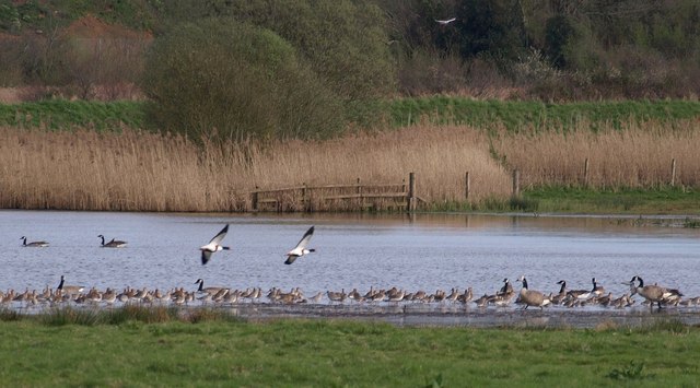
Photo of geese on a lake in marshes

Bowling Green Marsh (The Exe Estuary)

Bowling Green Marsh makes up part of the Exe Estuary, an area of international importance for wintering waders and wildfowl.
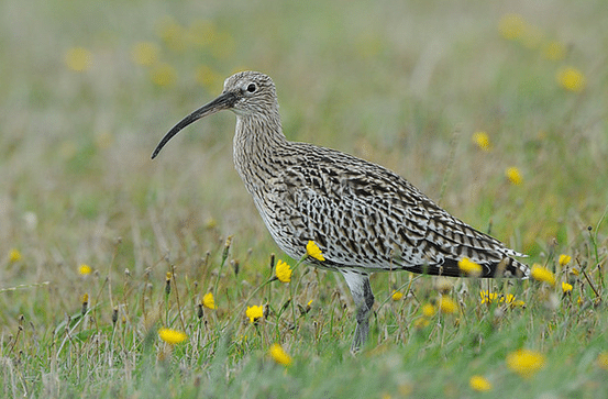
Photo of a curlew in grassland

Exminster Marshes (The Exe Estuary)

Part of the Exe Estuary, Exminster Marshes is an area of international importance for wintering waders and wildfowl. The area
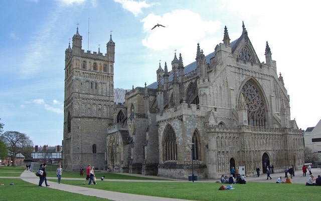
Photo of Exeter Cathedral

Exeter City Walls and Cathedral

Over 70% of the wall that once protected Exeter still remains and reveals a lot about the geology of the
Photo of Exeter Cathedral

Exeter City Walls and Cathedral

Over 70% of the wall that once protected Exeter still remains and reveals a lot about the geology of the
Photo of walkers on the Exe Estuary Trail looking through binoculars
2miles/
3.2kms

Exe Estuary Trail: Exmouth to Lympstone

Exmouth to Lympstone is just one section of the Exe Estuary Trail, a multi-use route being built by Devon County
Photo of the Exeter Ship Canal at Countess Wear
5.25miles/
8.5kms

Exeter Ship Canal

Exeter Ship Canal forms part of the Riverside Valley Park, managed by Exeter City Council.  Although the canal is over