Interesting information
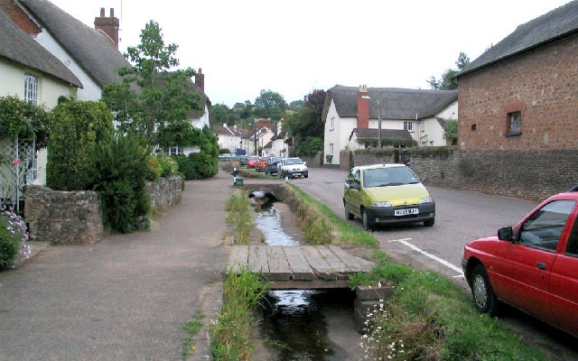
East Budleigh is a very picturesque village with a number of historic thatched cottages which give it great charm. The Sir Walter Raleigh pub was formerly the Kings Arms, and dates back to the 16th century when it was a private house. The cottages on Hayes Lane date from the 1700s. A little further along Hayes Lane, on the left, is Vicar’s Mead. This was the village vicarage until 1852. There is documentary evidence of this house going back to 1513. It is said that Sir Walter Raleigh, who was born just outside the village, received his early education in this house.
Hayes Barton is renowned as the birthplace of Sir Walter Raleigh in 1552. It was at the time owned by the Duke family, being leased to Raleigh’s father in 1551. It may have been built in the 1400s.
Yettingdon is an attractive linear hamlet on the edge of the East Devon Commons, established where the Budleigh Brook cuts a distinctive valley in the higher land around.
Most of the land on the East Devon Commons, also known as the Pebble Bed Heaths is either open heathland or plantation, these land uses resulting from the poor soil arising from a band of infertile land, known as the Bunter Pebble Beds, laid down over 200 million years ago in river beds of the time. The pebbles are very characteristic of the area and appear underfoot along the walk.
The Commons are designated as a Site of Special Scientific Interest, a nationally important representative of Atlantic-climate lowland heath. It carries a range of heathland-related plant communities and also a wide range of birds (over 70 breeding species) and invertebrates (over 20 species of breeding dragonflies). Most of the area is owned and managed by Clinton Devon Estates for the benefit of its wildlife and for public access.
Woodbury Castle is a late Iron Age fortification of earth banks and wooded slopes. It was also used during the Napoleonic Wars, between 1798 and 1803, as a fortified lookout over the Channel.
There are some fine views from the Commons, especially to the right over the heathland to the sea. Prominent on the horizon is Peak Hill, the site of another Iron Age fortification. Running inland is Mutters Moor, the line of a prehistoric trackway, and another such trackway ran through Woodbury Castle. Not only is this a scenic view, it is also an historic one. In parts, you can get views over the River Exe from Exeter downstream, with the outline of the Haldon Ridge on the far side. On a clear day the tops of Dartmoor may be seen beyond.
As well as its ecological importance, the area has also been used for military training since 1940, especially by the Royal Marines whose Commando Training Centre is at Lympstone on the Exe. This use still continues. There is also some evidence of World War II structures.
Blackhill sand and aggregate quarry, is a somewhat different use of the local geology.
Historically, each of the surrounding villages had the use of parts of the Commons, and access tracks went between villages and Commons. Hayeswood Lane was one of East Budleigh’s access lanes.


