2.5miles/
4.2kms

Budleigh to Otterton Mill

About this route

A delightful path along the River Otter which meets with other paths at the lower end of the Otter Estuary, allowing a number of different length circuits to be walked.

Getting Around

Lime Kiln Car Park, Budleigh or Otterton Mill (for customers).

Facilities
Toilets and refreshments at Otterton Mill or Budleigh (150yds from car park). Accessible bird hide.
Terrain
Level, easily walked path from Otterton Mill to White Bridge. Level compacted stone path between White Bridge and Lime Kiln car park.
Accessibility

Interesting information

The Otter Estuary is a Site of Special Scientific Interest extending to some 24ha / 60 acres.  The valley consists of salt marsh, reed beds, low-lying meadows and pastureland, and it is very fertile providing habitats for a rich diversity of wildlife.

The salt marsh vegetation and valuable invertebrate life attract many different species of summer breeding and over-wintering birds.  On the eastern side of the pebble ridge at the mouth, it is possible to see cormorants and oystercatchers, while in the seaward and saltmarsh areas, widgeon and teal may be seen along with other migratory ducks, as well as Brent Geese.
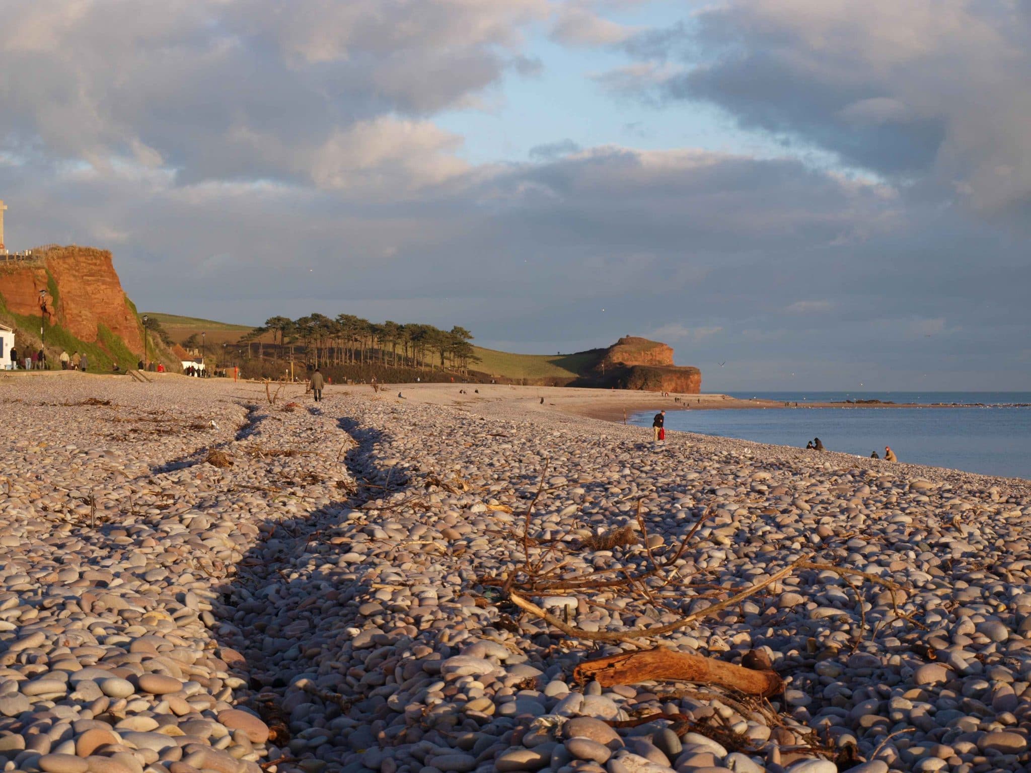
Photo of the view along the beach at Budleigh Salterton
Budleigh by Melanie Hinde

You can explore more in this area

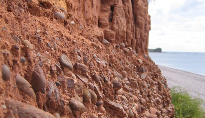
Photo of red cliffs and pebble bed layer above Budleigh Salterton Beach

Budleigh Salterton Cliffs and the Otter ..

The cliffs in the western part of Budleigh Salterton expose the full thickness of the Lower Triassic Budleigh Salterton Pebble
Photo of red cliffs and pebble bed layer above Budleigh Salterton Beach

Budleigh Salterton Cliffs and the Otter ..

The cliffs in the western part of Budleigh Salterton expose the full thickness of the Lower Triassic Budleigh Salterton Pebble