5.5miles/
9kms

A Potter Down the Otter

About this route

This walk conveniently links the East Devon Way with the South West Coast Path.  You can choose to catch a bus to make the route circular.

Getting Around

Buses serve Newton Poppleford from Exeter, Exmouth and Sidmouth regularly, on at least an hourly basis and Budleigh Salterton from Exmouth and Sidmouth.

Facilities
Newton Poppleford and Budleigh Salterton have pubs, cafes, shops and toilets. Colaton Raleigh (pub, buses); Otterton (pubs, cafe, shop, buses).
Terrain
Almost entirely flat. No stiles.
Accessibility
Explore more, click to download pdf
Download

OS Maps

Landranger (1:50,000 scale) no.192 Exeter, Sidmouth and surrounding area
Explorer (1:25,000 scale) no.115 Exmouth and Sidmouth

For More Information

Interesting information

Newton Poppleford was a deliberately planned new town in the medieval period, hence the first part of its name. The right to hold a market here was first granted in 1226 to William Brewer, Lord of the Manor of Aylesbeare, and from this arose the planned settlement on the road leading to the Otter.

Further along the Otter, between two gates, you’ll cross a private track. This marks the line of the former branch railway to Budleigh Salterton and Exmouth. This scenic line through the idyllic pastoral landscape followed the Otter Valley for some distance. It was closed as part of the Beeching cuts in 1967.

Looking to the right from the riverside path in the Otterton area can be seen a distinctive needle. This was built in 1730 a ‘point de vue’, or visual point of interest, as seen from Bicton House, the seat of the Rolles, the local major family.

Continuing down the riverside path you’ll notice an aqueduct. The aqueduct now leads water from Budleigh Brook, on the western side of the valley, into the river. Its original purpose was to help drain the water meadows to reclaim the valley bottom for agriculture. It dates to the early years of the 19th century.
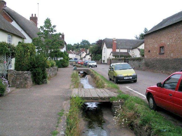
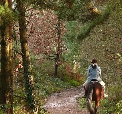
Photo of a street through Otterton lined with thatched cottages and a small stream
Otterton Copyright Mick Melvin

You can explore more in this area

Photo of a horse rider on a trail through woodlands at East Budleigh Common
8miles/
13kms

An Uncommonly Fine Walk

The East Devon Commons cover an area of heathland east of Exeter and inland of the coast.  Extremely important as
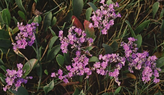
Photo of the pink flowers of sea lavender

The Otter Estuary

The Otter Estuary is a compact and accessible estuary, which supports a particularly well-developed saltmarsh flora that includes such characteristic
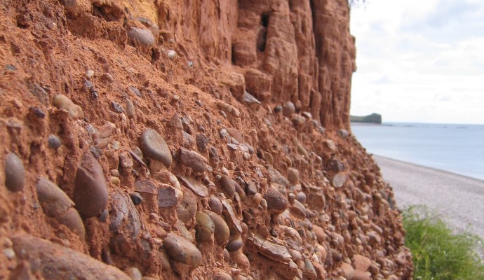
Photo of red cliffs and pebble bed layer above Budleigh Salterton Beach

Budleigh Salterton Cliffs and the Otter ..

The cliffs in the western part of Budleigh Salterton expose the full thickness of the Lower Triassic Budleigh Salterton Pebble
Photo of red cliffs and pebble bed layer above Budleigh Salterton Beach

Budleigh Salterton Cliffs and the Otter ..

The cliffs in the western part of Budleigh Salterton expose the full thickness of the Lower Triassic Budleigh Salterton Pebble
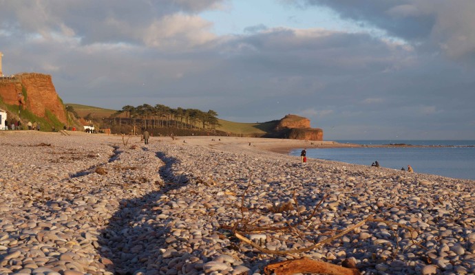
Photo of the view along the beach at Budleigh Salterton
2.5miles/
4.2kms

Budleigh to Otterton Mill

A delightful path along the River Otter which meets with other paths at the lower end of the Otter Estuary,