Tavistock and Tavistock Railway Cutting

About this route

Tavistock, originally founded in 974 AD with the building of the Benedictine Abbey, has been greatly influenced by the local geology. The surrounding area once supported a thriving mining industry. Indeed, the extraction of minerals such as tin, copper and arsenic is documented as early as 1305.

Tavistock is now a part of the Cornwall and West Devon Mining Landscape World Heritage Site, in recognition of the considerable legacy of this mining activity. During the nineteenth century, the town was completely remodelled by the 7th Duke of Bedford, Francis Russell, and his steward John Benson, using the profits gained from mining.  In the process, a number of impressive public buildings were built, as was model housing for workers – virtually unheard of at the time.

Getting Around

By bike: the National Cycle Network Route 27 ‘Coast to Coast’ from Ilfracombe to Plymouth passes through Tavistock.

By bus: there are regular services to Tavistock from Plymouth and Okehampton, see the Travel Devon for the latest times.

By road: the A386 connects Tavistock to Plymouth and Okehampton.

Facilities
All facilities in Tavistock, shops, cafes, car parking and cycle hire available.
Terrain
Easy walking, mostly on flat, tarmacked surfaces.
Accessibility

Interesting information

The buildings include the Cornmarket (1835) and the Guildhall (1863). Many were created using a variety of local materials including the green volcanic Hurdwick Stone, quarried just a few miles away, and granite from Pew Tor on Dartmoor. The workers’ cottages were made from brick and local rubble stone.

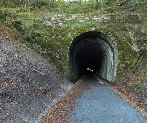
The rocks underlying Tavistock can be seen in several places in the town, such as Tavistock Railway Cutting (SX 4722 7413 – SX 4788 7448).  Greenish-grey Devonian slates occur in the south-western part of the cutting (SX 4722 7413) and towards the road bridge. Beyond this bridge black slates, also Devonian, can be seen. At the north eastern end of the section is evidence of volcanic activity with lavas containing cavities caused by the expansion of trapped gasses and finely grained deposits of volcanic ash.
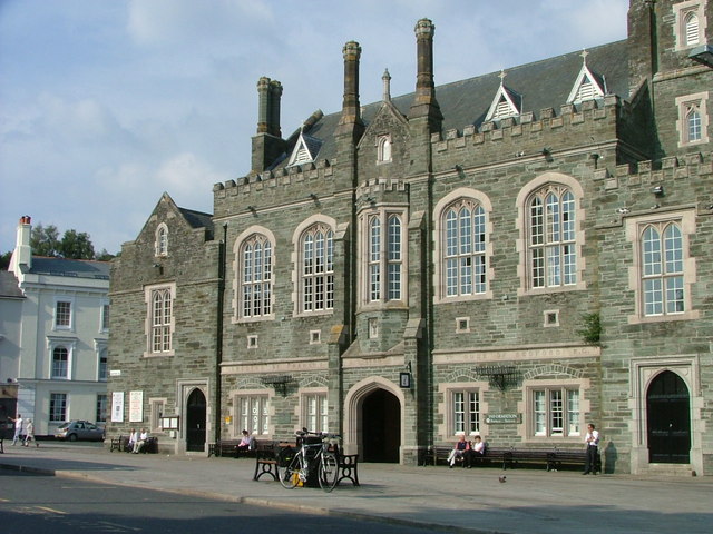
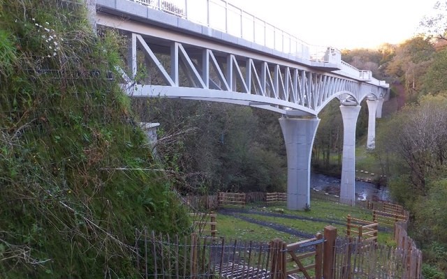
Photo of Tavistock Town Hall
Tavistock Town Hall by Malc McDonald

You can explore more in this area

Photo of Gem Bridge across a valley and river on the Drakes Trail
21miles/
34kms

Drake’s Trail

Drake’s Trail in West Devon is a 21-mile, multi-use route linking Tavistock with Plymouth. This important part of Devon’s recreational
Photo of two cyclists on the Tarka Trail near Braunton
102miles/
163kms

Devon Coast to Coast NCN27

The route combines the beaches and estuaries of North Devon with the lush green valleys of the Torridge, the Tavy,
Photo of a quiet lane entering a tunnel on Drake's Trail
37miles/
59kms

West Devon Way

The West Devon Way is a 37-mile walking trail linking Okehampton with Plymouth via Tavistock. This important part of Devon’s recreational
Photo of a tow path and canal with bridge
3miles/
5kms

Drakes Trail – Tavistock to Crowndale

This route, originally built by a special needs group to meet the requirements for the whole family, now forms part of