Interesting information
The walk passes the May Cottage Tea Rooms. The cottage, if not as tea rooms, dates back to the 17th Century, as do many of the cottages along this road. Further on is St. Mary’s Church, or more accurately, Chapel. Croyde is not a parish in its own right, being part of the parish of Georgeham. St. Mary’s was built in 1874 as Croyde’s chapel to avoid the need for worshippers to walk inland to Georgeham. Just beyond the chapel is The Manor, now a pub. This originated as Croyde’s Manor House in 1790.
This is an old access road between the valley villages and the pasture on the Down. It may even have originated as a road from Braunton, since the modern coast road was not built until the 1800s.
The walk reaches the summit of Saunton Down, at 159m or 520 feet, and the views are simply stunning. Behind can be seen Woolacombe Sands with Morte Point beyond. Nearer is the village of Georgeham and to the left, sheltering behind Baggy Point, is Croyde.
On the descent to the track, you can see the roofs of Saunton Court. This is an old building, with medieval origins, and was extended in the 1930s by the famous architect Edwin Lutyens.
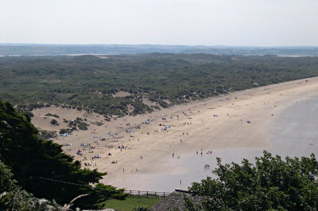
These are the ruins of Down House Cottages, abandoned in the early 20th Century. The panorama from here over Braunton Burrows and Saunton Sands is wonderful. Braunton Burrows forms one of the largest areas of sand dunes in England. The area was designated as a Biosphere Reserve in 2002 by UNESCO for its environmental and scientific importance. It is Britain’s first Biosphere Reserve, a designation which gives it world status.
The walk has now joined the main route of the South West Coast Path, waymarked with the National Trail acorn symbol, which here coincides with the line of the Tarka Trail. The last part of the walk, along the track and past the ruined cottages, has also followed an alternative length of the Coast Path, which accounts for the acorn waymarks there. This length avoids use of a stretch of the main road. On the left is the Saunton Sands Hotel. This is a notable landmark in the area, visible from much of the coast from as far as Hartland Point. It was built in 1937 in the so-called “modernistic” style and ranks as a notable design for a hotel of its time.
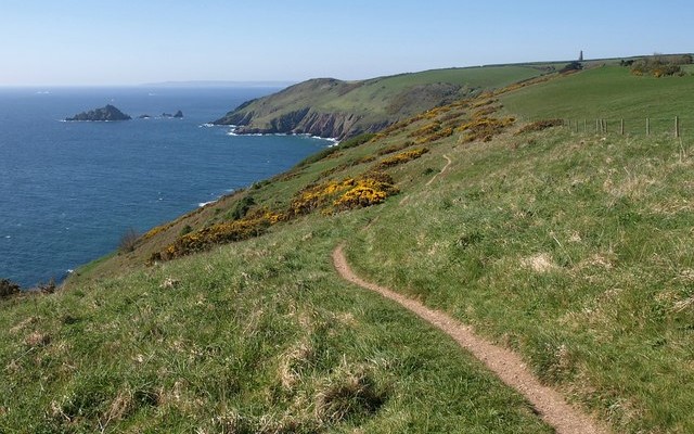
As the path continues towards the end of the down, the view will include the outline on the horizon of Lundy (as long as the day is reasonably clear). Lundy lies 11 miles/18 km north of Hartland Point and about 18 miles/29 km from here. It is approximately 3 miles/5 km north south and 0.5 mile/0.8 km east-west and reaches a height of 143m/471 feet. Settled by Vikings who named it “lundi-ey”, or puffin island, it has been the haunt of pirates and recluses. Since 1969 it has been owned by the National Trust and administered and maintained by the Landmark Trust. It is important for seabirds, although the puffins have severely declined in numbers, and the seas around form a Marine Conservation Area.


