Interesting information
The walk starts at the mouth of the River Otter at Budleigh Salterton, follows the river inland then crosses to the coast to follow the South West Coast Path back to Budleigh Salterton.
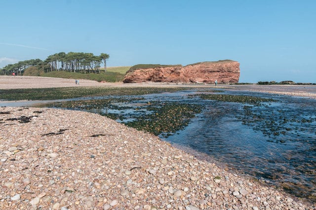
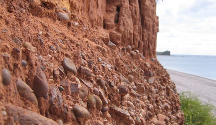
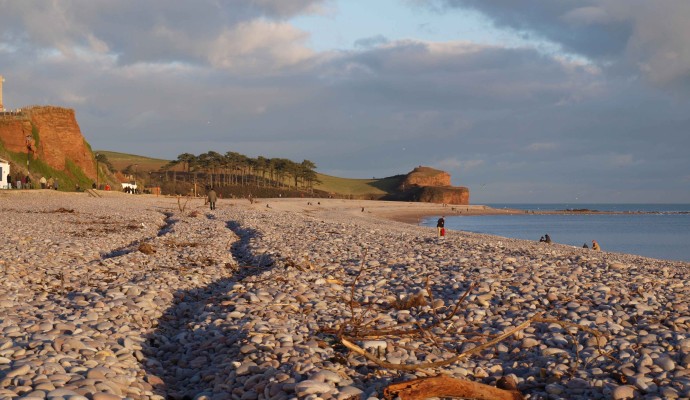
Budleigh Salterton is known for its pebble beach. These pebbles are a feature of the geology of this part of Devon and they help to form the extensive common lands inland of the town. They are a result of action by the sea and rivers which covered this area in the Triassic era, over 200 million years ago.
The Coast Path diverts inland to get around the estuary. Although a relatively small estuary, the marsh and wetland has made it a valuable resource for wildlife and it is maintained as a nature reserve by the Devon Wildlife Trust. Look out for the information boards alongside the path to discover some of the estuary’s nature conservation interest. This length of path is maintained as suitable for wheelchairs and pushchairs and has a number of viewpoints over the estuary.
The river Otter gets its name from the animals which used to frequent it, and this name dates back to Saxon times. In more recent years otters virtually disappeared from the river, but are now making a welcome comeback. However, there is little chance of seeing one of these shy, largely nocturnal creatures. More likely to be seen is the brilliant flash of a kingfisher, these beautiful birds being relatively common in these areas.
The aqueduct coming into the Otter carries water from Budleigh Brook, on the western side of the valley. It was originally built to help drain the water meadows in order to reclaim the land for agriculture. It dates to the early years of the 19th century.
The distinctive appearance of a small country railway station, now a private house, this was East Budleigh station on the branch line which ran through the valley. It was closed as part of the Beeching cuts in 1967.
Otterton Mill, with its artists’ studios, working mill exhibition, crafts and refreshments. It dates from the 18th century and is on the site of a monastic mill which originally belonged to Mont St. Michel in Brittany. It is an important example of a working water mill little altered since the mid-19th century.
Otterton is a very attractive village lined with thatched cottages, some of which date back as far as the 16th century. It is also lent charm by the stream running the length of the village alongside the street.
There are superb views along the coast of the World Heritage Site, Ladram Bay prominent in the foreground. The red sandstone cliffs also owe their origins to the Triassic river systems. Beyond, the views take in Sidmouth and on to Beer Head, the most westerly chalk outcrop in England. Ladram Bay has seasonal shops and a pub.
There is no crossing of the Otter at its mouth and wading is not recommended because of the depth and the strength of the current. The longshore drift causing this diversion also results in spits across the mouths of other rivers in the area, most notably that at Dawlish Warren across the mouth of the Exe.


