Interesting information
Near the start of the walk is Shadycombe Creek and the far side is lined with boat repair yards. In the 19th century this little headland was an island (hence the name Island Street) and at that time it built small wooden ships coasters and “fruit clippers” for the Azores fruit trade.
Alongside Batson Creek, notice the lime kiln on the opposite bank. Kilns were built to burn lime, which was then used to help fertilise the soil. Around her ethe lime was generally brought in by sea from the Plymouth area. During the Napoleonic Wars, when the country experienced a sea blockade for a time, farmers were paid subsidies to construct and operate such kilns.
The hamlet of Batson complements the creek head perfectly, with its green, traditional telephone box and row of early nineteenth century cottages.
The sudden disappearance of Batson Creek is a feature of the creeks on the Kingsbridge Estuary. Technically known as ‘rias’ they are typical of the south coast of Devon and Cornwall and are actually drowned river valleys rather than true estuaries.
Along the route, glimpses can be had of Snapes Manor. Much of the building dates from the 1700s but part of the house is said to originate as far back as the 12th century. A wide track was once used as a carriageway for the Manor. It was built in the 1800s by the then landowner in preparation for development which was thought would occur when the planned Kingsbridge – Salcombe railway was built along the estuary. Neither the railway nor the development ever materialised.
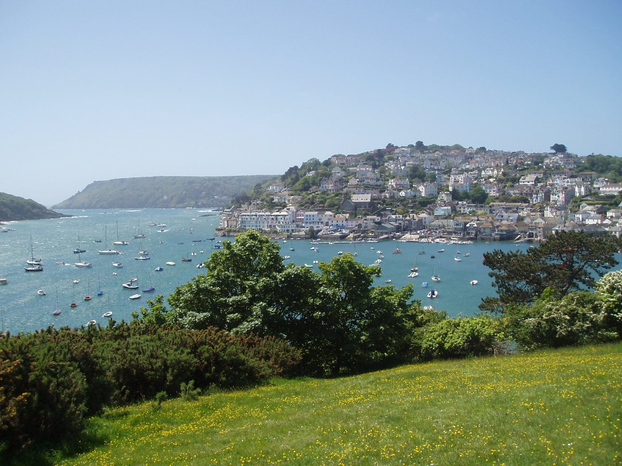
From the ridge near the National Trust car park and elsewhere along the route and at Snapes Point itself, there are superb views of the estuary and its creeks. On clear days Dartmoor forms the horizon beyond Kingsbridge. Other features include a prominent boat which serves as the headquarters of one of Salcombe’s sailing clubs. The village of East Portlemouth can be seen to the south-east with the outline of its church tower just visible against the skyline.
Note how some of the fields have retained wide margins and well-maintained hedgerows. These features are retained for nature conservation reasons, forming an ideal habitat for farmland birds. Particular benefiting is the rare cirl bunting only found in Britain along the southern coast of Devon.


