5miles/
8kms

A walk in Hope

About this route

Hope Cove, in the far south of the county, is one of the most attractive settlements on the South West Coast Path. It consists of two coves, Inner Hope and Outer Hope, the latter being the larger of the two, with most of the facilities.

The starting point is the Sun Bay Inn at Inner Hope, then the walk goes eastwards along a ridgeline parallel to the south coast before climbing up to the cliffs and finishing by rounding Bolt Tail.

Getting Around

Hope Cove is served by buses from Kingsbridge; there are generally four buses a day from Mondays to Saturdays. Check www.travelinesw.com for the latest times.

Facilities
Hope Cove (all facilities), Bolberry Down (pub).
Terrain
Two short climbs and one longer one of approximately 60m / 200 feet.
Accessibility
Explore more, click to download pdf
Download

OS Maps

Landranger (1:50,000) No 202 Torbay and South Dartmoor
Explorer (1:25,000) No OL20 South Devon

For More Information

Travel Devon

www.travelinesw.com

Interesting information

The first record of a settlement in Hope Cove dates back to 1281. In later years it became known for both fishing and smuggling.

As the route rises out of the village, you will see the distinctive shape of the tower of Galmpton Church ahead. Views down the coast open up, Burgh Island is especially clear with Stoke Point and the Mew Stone off Wembury in the distance.

Bolberry is an old settlement, mentioned in the Domesday Book of 1086 as Boltesberia. It seems to get its name from ‘the Bolt’, the name given by the Saxons to the stretch of land still distinguished by the two headlands of Bolt Head and Bolt Tail today. At the top of the steep hill in Bolberry is the Port Light Inn, originally the club house of a pre-war golf club. Later it became part of a World War II RAF radio station. There are still radio masts here, now part of a navigational signal system.

Bolt Tail is the site of a late Iron Age cliff ‘castle’, where the prominent peninsular was fortified by a rampart built to defend it from the landward side.
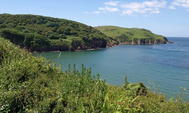
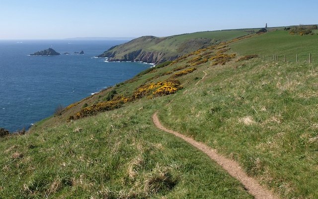
Photo of the South Devon coastline with sea and coastal cliffs at Hope Cove
Hope Cove, SWCP Copyright Derek Harper, licenced for reuse - geograph.org.uk

You can explore more in this area

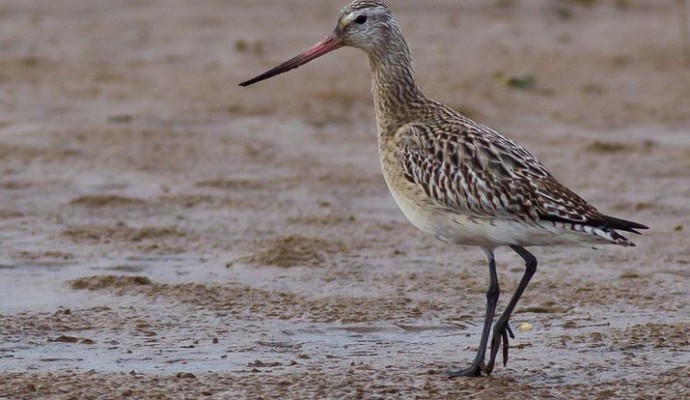
Photo of a bar-tailed godwit wading on mud

Wembury VMCA

The Wembury Voluntary Marine Conservation Area (VMCA) runs for about four miles from Yealm Head to Fort Bovisand, extending out to
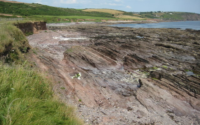
View across a rocky shore to Wembury beach

Wembury

This site spans from Wembury Beach west to Wembury Point. The area has been designated an Area of Outstanding Natural
View across a rocky shore to Wembury beach

Wembury

This site spans from Wembury Beach west to Wembury Point. The area has been designated an Area of Outstanding Natural
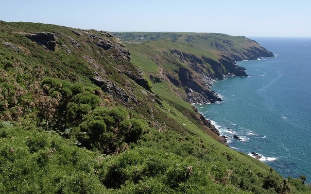
Landscape photo of the South Devon coastal cliffs at Bolberry Down
1.7miles/
2.7kms

Bolberry Down

Bolberry Down has a network of paths running along high cliff tops with great views and providing a choice of