Interesting information
Barnstaple is an historic and attractive town as well as the centre of population in North Devon. One of Devon’s ancient Saxon settlements, which even had its own mint the 10th century, it was listed in the Domesday Book of 1086 as one of the four boroughs of Devon. The town was established at the lowest crossing point of the River Taw, and a bridge was established here in early times. The current town bridge originated in the early 13th century but very recently this has been augmented by a new bridge downstream. For the first time since it was built some 800 years ago Barnstaple’s ancient bridge is no longer the lowest bridging point over the river.
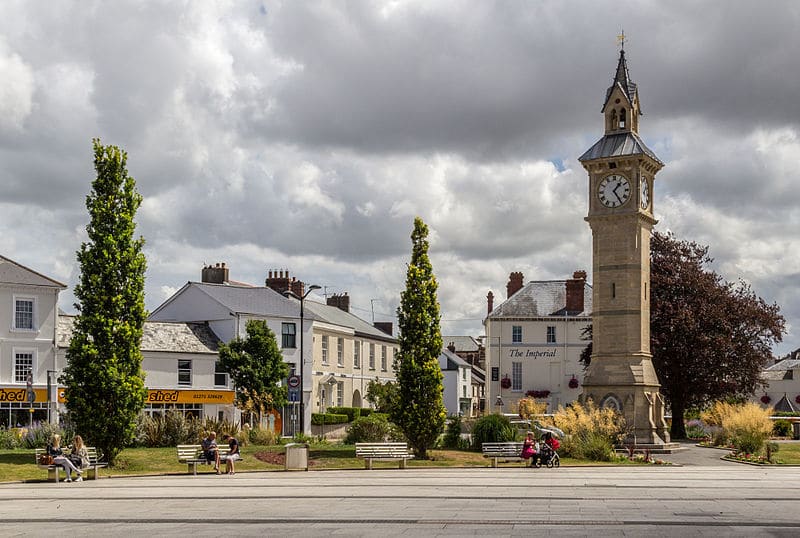
The Museum is in The Square, at the town end of the old Barnstaple Bridge. In the middle of The Square is the Albert Memorial Clock, erected to commemorate the life of Queen Victoria’s consort in 1862.
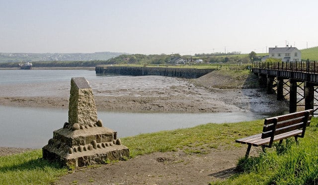
The area on the right was originally a natural inlet and then became Barnstaple’s Quay area. It was from here that five ships sailed to join Drake’s fleet to fight the Spanish Armada in 1588. Barnstaple remained an important port until the early 19th century, when the increasing size of ships and silting of the river combined to end its trade. The Quay area was then filled in.
The site of the old Barnstaple Town railway station, served the line of the Atlantic Coast Express to Ilfracombe and was also the terminus of the Lynton and Barnstaple Railway. This was a narrow gauge line which operated between 1898 and 1935. A thriving Society exists to promote the history and knowledge of this railway and has reopened a short stretch of the old line, together with the historic station, at Woody Bay near Lynton.
There are actually three bridges to be crossed on this walk, this being the smallest of the three. Shaped like a boat, it spans the end of the River Yeo, a tributary of the Taw which comes down from the edge of Exmoor. A swing bridge is needed in case river traffic needs to reach Rolle Quay, a little way up the Yeo.
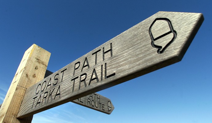
The Coast Path and Tarka Trail here is on the line of the old railway to Ilfracombe. Built in 1874 it became an important tourist line, carrying the Ilfracombe portion of the Atlantic Coast Express from Waterloo. It was closed in 1970.
The bridge was opened in May 2007 to link the main A39 road to the road to Braunton and Ilfracombe, avoiding the town centre of Barnstaple. Sometimes referred to as the Western Bypass it has been designed to reduce, as far as possible, any damage to the environment.
The Taw Estuary is a designated Site of Special Scientific Interest and the protection of the estuary during and after construction has therefore been important. The impact of noise and disturbance on the estuary’s wildlife and habitats has been minimised and a variety of measures taken to protect otters and badgers and preserve and enhance habitats for bats and barn owls. New habitats are also being created, including grassland, hedgerows and wetlands.
The bridge offers an excellent viewpoint for looking down the river, the marshes framing the estuary as it curves down towards the mouth. Unless the tide is high, the effect of silting which spelled the end of Barnstaple as a port will be seen in the numerous sandbanks.
The bridge may now be used as a shortcut across the river by walkers on the South West Coast Path and walkers or cyclists on the Tarka Trail. It is an exciting experience, probably unique on the whole 630 miles of the Coast Path, although it does mean missing the facilities Barnstaple has to offer unless a diversion into the town is made.
This bridge was originally built in the 13th century. It underwent improvements in the 1430s and the 1580s and was last widened in the 1960s. It has 16 stone arches, 13 of them medieval and the other three, at the town end, replaced in 1589.


