The Taw-Torridge Estuary

About this route

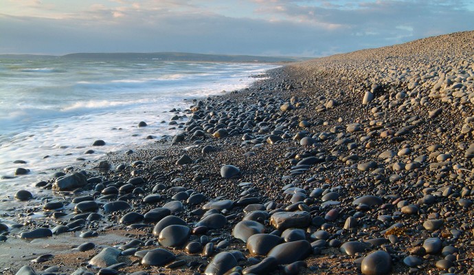
This extensive estuary has a typical range of saltmarsh communities, with plants such as glasswort, sea aster and sea rush all present. However, it is the large areas of mudflats and sandbanks that are revealed at low tide which are the major interest. Together with the saltmarsh, these provide a rich source of food for overwintering and migratory waders. These include important numbers of curlew, golden plover and lapwing, with other species including redshank and oystercatcher also abundant. The total number of waders present at any one time can reach over 20,000.

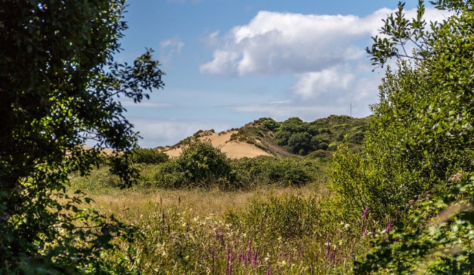
The estuary is flanked by the Tarka Trail, from which a wide variety of habitats can be seen, including sand dunes, saltmarsh, woodland, grazing marsh and meadows.

Getting Around

On foot and bike: The South West Coast Path and the Tarka Trail run on either side of the estuary (at this point, the Tarka Trail is the route of the long-distance Devon Coast to Coast cycle route).

By train and bus: Barnstaple, at the head of the estuary, has a train station. There are good bus links to Barnstaple and Bideford, visit the Travel Devon website for the latest bus and train times.

Facilities
Footpaths and cycle paths on both sides. Bird hide on the east bank. The Tarka Trail is wheelchair-friendly along the estuary.
Terrain
Footpaths. Cycleways. Sections of wheelchair-friendly paths.
Accessibility

Interesting information

The Taw-Torridge Estuary is a Site of Special Scientific Interest (SSSI) and a very important component of the North Devon Biosphere Reserve.
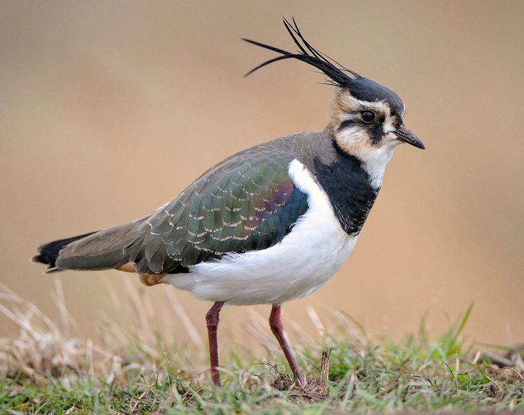
Photo of a lapwing
Lapwing Copyright Natural England - Julian Dowse

You can explore more in this area

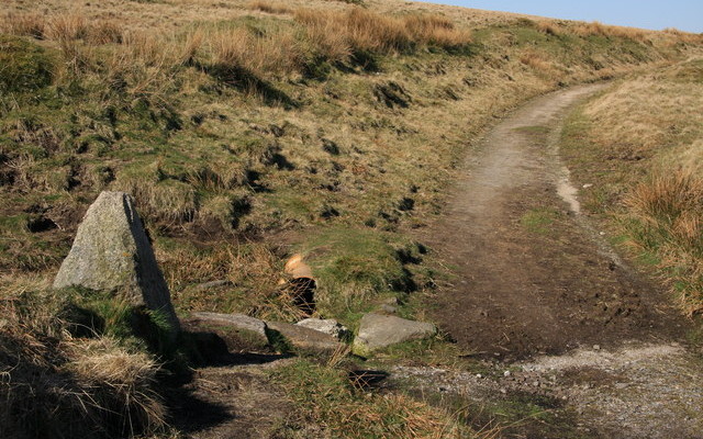
Photo of the Two Moors Way path across moorland with a granite way marker in the foreground
100miles/
160kms

Two Moors Way (Devon’s Coast to Co..

Running for just over 100 miles/160km between Ivybridge in the south and Lynmouth in the north, this famous path links
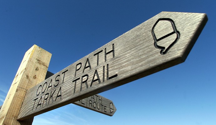
Photo of the top of a waymarking post for the Coast Path and Tarka Trail
163miles/
261kms

Tarka Trail walking route

Inspired by Henry Williamson’s much loved novel ‘Tarka the Otter’ which was based on real places, this 163 miles/261kms recreation
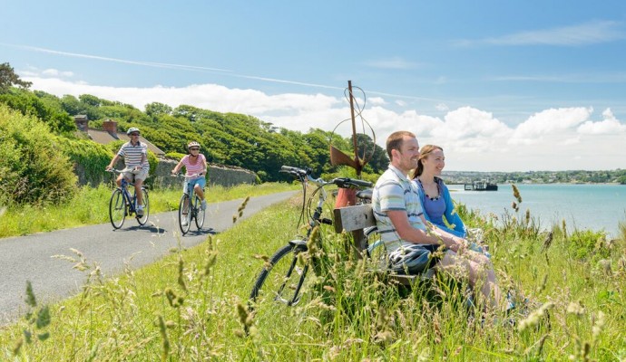
Photo of cyclists on the Tarka Trail alongside the estuary at Instow
32miles/
52kms

The Tarka Trail (Braunton – Meeth)

Stretching for over 52km / 32 miles from Braunton to Barnstaple, then to Instow, Bideford, Great Torrington and on to
Photo across a dune slack to sand dunes in the background

Braunton Burrows

Lying at the entrance to the Taw-Torridge Estuary, Braunton Burrows is one of the most important sand dune systems in
Photo of the shoreline on a pebble beach
1miles/
1.6kms

Northam Burrows Country Park

The Northern Burrows is a scientifically important area which juts out into the mouth of the estuary. It is a
Photo of the top of a waymarking post for the Coast Path and Tarka Trail
23miles/
37kms

Tarka Trail Easy Walk

Entirely traffic free, this part of the Tarka Trail can be enjoyed in sections to suit your group.  This off-road route stretches for