Interesting information
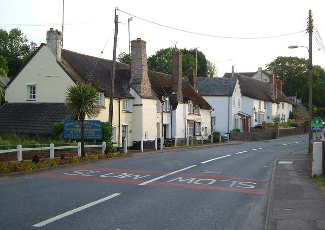
The East Devon Way stretches for 38 miles between Exmouth and the county boundary at Lyme Regis, parallel to and inland of the South West Coast Path. It serves a number of settlements, one of which is Newton Poppleford, a relatively large village on the main road between Exeter and Sidmouth.
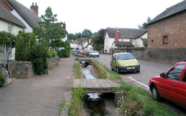
Newton Poppleford was a deliberately planned new town in the 13th century, which is how it acquired its name – the new town at the pebble ford (over the River Otter). The pattern of the original layout is still seen today, with the buildings fronting the main road. The church dates from medieval times too, but was much rebuilt in the 19th century. Only the tower remains from early times.
Aylesbeare Common is part of the Pebblebed Heaths complex. As the sign indicates, it is an RSPB Nature Reserve. It is worth studying the information board further along the walk which details the heath and its management.
Along part of the route you will see superb views over the Otter Valley. The wooded ridge that runs north-south on the side of the valley is especially obvious. Such ridges, parallel to the river valleys, are very typical of this part of East Devon, the result of relatively hard rocks being more resistant to erosion than the valleys.
Harpford Common is the most easterly of the Pebblebed Heaths and among the most low-lying.
The village of Harpford church is especially prominent. Harpford is on the opposite side of the River Otter.
The embankment carried the branch line to Budleigh Salterton from the Southern Railway’s main line at Feniton. It was opened in 1897 and closed as part of the Beeching cuts in 1967.
The river Otter has had its name since Anglo-Saxon times, but for some time in the post-war period it lost the animals after which it was named. Recently, however, they have made a return to the river. Nevertheless, you should not expect to see one of these shy and nervous animals, which tend to be largely nocturnal.


