Upper and Lower Tamar Lakes

About this route

The Upper and Lower Tamar Lakes straddle the Devon and Cornwall border. These two man-made lakes offer many opportunities for bird watchers. Flocks of ducks, such as teal and pochard, can be seen in the winter, and waders use the lakes on spring and autumn migration. The surrounding habitats, which include fringing reed, grassland, ponds and woodland, help to support a range of other birds, with species such as long-tailed tit, kingfishers, treecreepers and reed bunting being common throughout the year. In all, over 200 bird species have been recorded here.

The range of habitats supports many other species too, including otters, dragonflies and butterflies.

Several waymarked walks, some suitable for wheelchairs, will help you explore the lakes and their surrounds. The popular round-lake walk takes approximately one hour.  There are visitor and interpretation centres at both lakes and a bird hide at the Lower Tamar Lake.

There is a children’s play area and plenty of space to play games.

Getting Around

By road: The lakes straddle the road between Bradworthy (Devon) and Kilkhampton (Cornwall) near Alfardisworthy. Both lakes have a pay and display car park.

Facilities
Cafe open Easter - October, car parking all year, visitor and interpretation centre at both lakes, children's play area.
Terrain
Waymarked trails, some suitable for wheelchairs and buggies.
Accessibility

Interesting information

The lakes are managed by the South West Lakes Trust.

Leading south from the Lower Tamar Lake is the Bude Canal aqueduct. Until it closed in 1891, the canal was used to transport calcium-rich sea sand inland for use as a fertiliser. Part of the tow path now forms an excellent walking route of about 5km to the Devon Wildlife Trust’s reserve at Dunsdon.
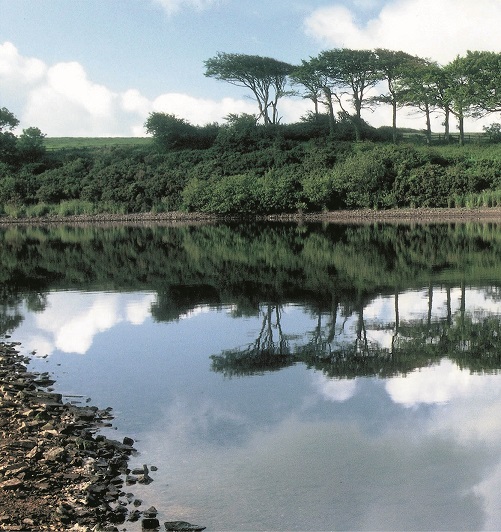
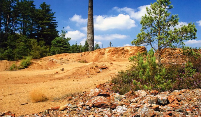
Photo across the river Tamar ro fields and woodland
Tamar Trails by South West Lakes Trust

You can explore more in this area

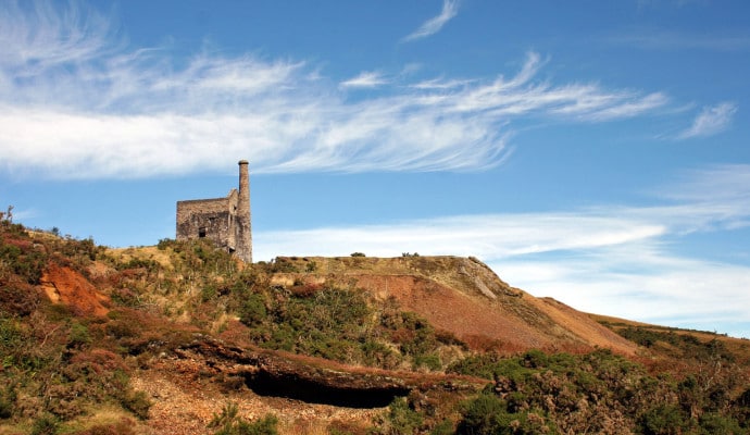
Photo of an arsenic mine tower with waste ground in front
15miles/
25kms

Tamar Trails

Around 15 miles / 25km of new trails have recently been  created in the Tamar Valley as part of the
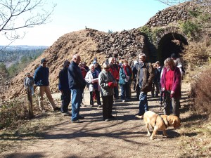
Photo of a group of people in front of old mine workings at Devon Great Consuls
1.4miles/
2kms

Tamar Trails – Chimney Rock Walk

Explore beech, oak and conifer woodland with sweeping views over the steep sides of the River Tamar. This is a
Landscape photo of mine buildings at Devon Great Consuls
2.3miles/
3.5kms

Tamar Trails – Wheal Josiah Walk

Explore the mining landscapes of the Tamar Valley on this wide, mainly level path, with moderate inclines in parts. The
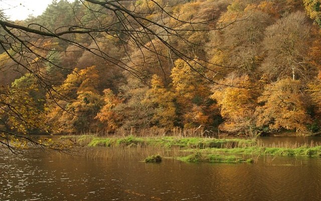
Photo of a view across the River Tamar to woodlands in Autumn
30miles/
48kms

Tamar Valley Discovery Trail

This route covers a stretch of the valley of the Tamar, the historic border between Saxon Devon and Celtic Cornwall.