Skip to content
38miles/
60kms

East Devon Way

About this route

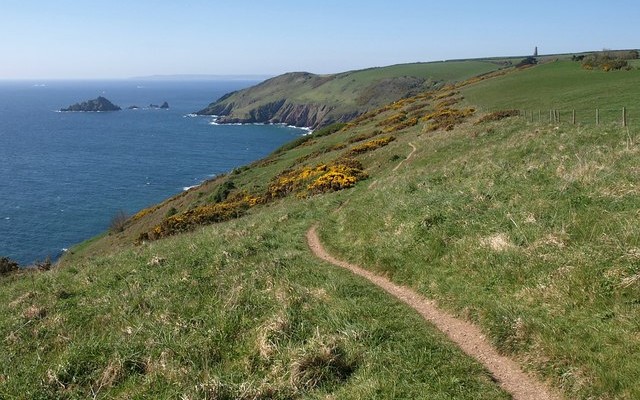
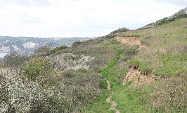
This 38 mile/60km path takes you from Exmouth in the west to Lyme Regis, Dorset in the east, and follows footpaths, bridleways and stretches of quiet lanes. The route passes through the heart of the East Devon Area of Outstanding Natural Beauty (AONB), linking to the South West Coast Path, the beautiful Jurassic Coast World Heritage Site and the Exe Estuary. You can pick up short sections of the trail from a number of easily accessible points.

Along the way you will find the traditional Devon thatched cob cottages, villages dating back to Saxon times, ancient churches, prehistoric hill forts, oak beamed pubs, leafy lanes and glorious vistas of rolling green hills.

The route forms a parallel alternative to the South West Coast Path and is comprehensively way-marked; just follow the sign of the foxglove.

Getting Around

Exmouth, Aylesbeare Common, Sidbury, Colyton and Lyme Regis are all serviced by bus. Exmouth is also linked to Exeter by a regular rail service.

Travel Devon


Facilities
Exmouth, Sidbury, Colyton and Lyme Regis have all facilities.
Terrain
A mix of rights of way, permissive routes and minor roads. The route is generally easy but does include some sharp climbs.
Accessibility
Explore more

Interesting information

The East Devon Way provides an opportunity to escape to tranquil farmland, visit traditional Devon hamlets or stride uphill to enjoy spectacular panoramic views across this outstanding corner of Devon.

The route is presented from west to east in six stages and is waymarked throughout, providing an easy to follow trail. There are inns, pubs and shops in the villages and towns which offer the chance to replenish and refresh you on your journey, or provide a place to rest and recharge overnight.

You can find out how to obtain a copy of the 60 page guide to the East Devon Way here. If you complete the whole walk (not necessarily in one go) you can apply for a certificate and badge through the East Devon Way website.
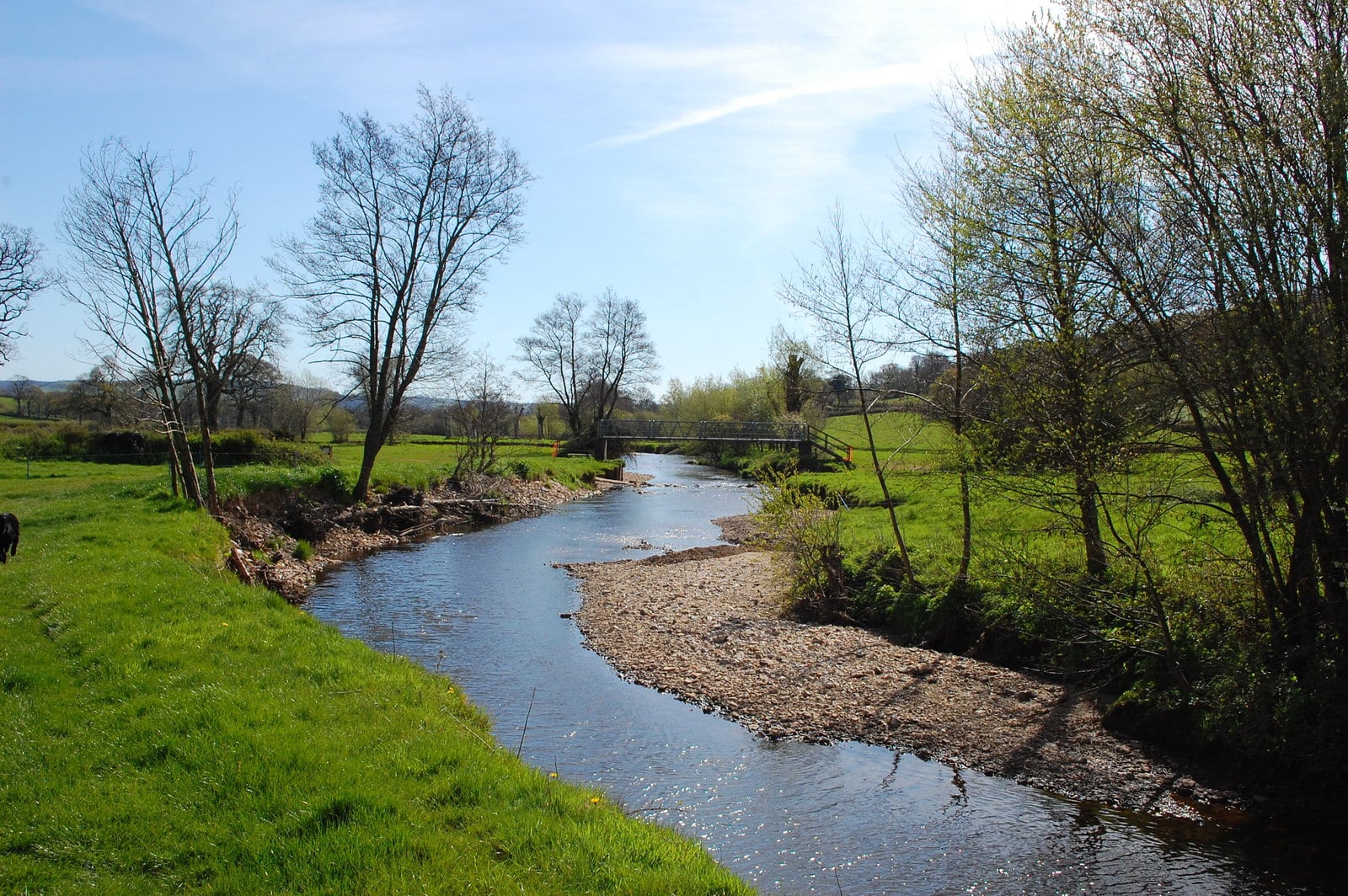
Photo of a stream through fields on the East Devon Way
East Devon Way by Trevor Harris
You can explore more in this area

  • Long walks
    Photo of cyclists on the Tarka Trail alongside the estuary near Instow
    16.4miles/
    26kms

    Exe Estuary Trail

    This newly constructed cycle trail offers an almost entirely traffic-free, wonderfully level route which forms part of the South Coast NCN...
  • Short walks
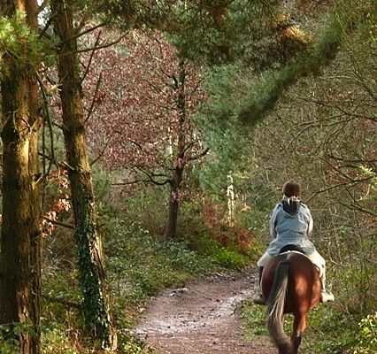
    Photo of a horse rider on a trail through woodlands at East Budleigh Common
    8miles/
    13kms

    An Uncommonly Fine Walk

    The East Devon Commons cover an area of heathland east of Exeter and inland of the coast. Extremely important as a...
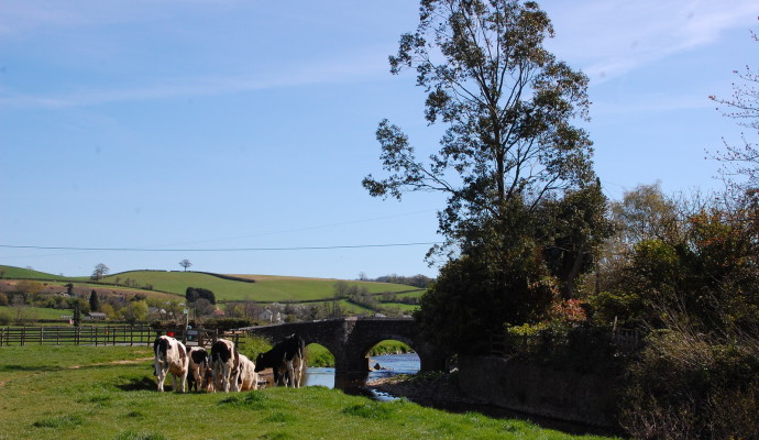
    Photo of fields alongside a river with cows and a bridge in the background
    5miles/
    8kms

    The ‘most rebellious town in Devon..

    The East Devon Way is a 40 mile (64km) route which runs parallel to, and inland of, the coast of East...
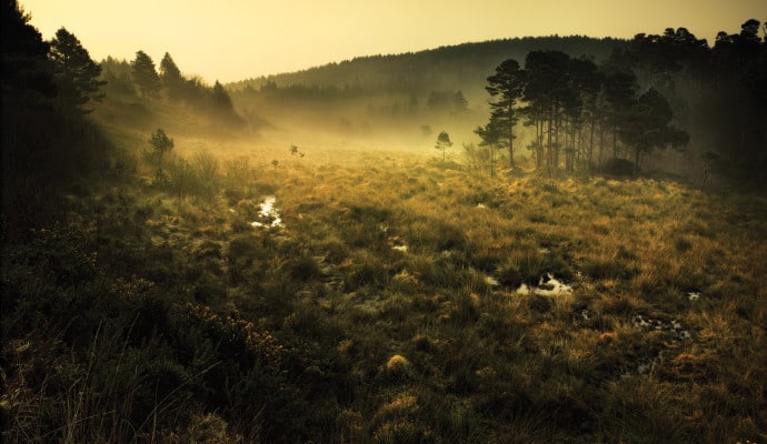
    Photo of mist over heathland
    6.25miles/
    10kms

    Heath and valley

    This walk is based around Newton Poppleford and uses minor lanes and old tracks to the west of the village, before...
  • Cycling
    Photo of cyclists on the Tarka Trail alongside the estuary near Instow
    16.4miles/
    26kms

    Exe Estuary Trail

    This newly constructed cycle trail offers an almost entirely traffic-free, wonderfully level route which forms part of the South Coast NCN...
  • Walking
    Photo of a horse rider on a trail through woodlands at East Budleigh Common
    8miles/
    13kms

    An Uncommonly Fine Walk

    The East Devon Commons cover an area of heathland east of Exeter and inland of the coast. Extremely important as a...
    Photo of cyclists on the Tarka Trail alongside the estuary near Instow
    16.4miles/
    26kms

    Exe Estuary Trail

    This newly constructed cycle trail offers an almost entirely traffic-free, wonderfully level route which forms part of the South Coast NCN...
    Photo of fields alongside a river with cows and a bridge in the background
    5miles/
    8kms

    The ‘most rebellious town in Devon..

    The East Devon Way is a 40 mile (64km) route which runs parallel to, and inland of, the coast of East...
    Photo of mist over heathland
    6.25miles/
    10kms

    Heath and valley

    This walk is based around Newton Poppleford and uses minor lanes and old tracks to the west of the village, before...
    Photo of walkers on the Exe Estuary Trail looking through binoculars
    2miles/
    3.2kms

    Exe Estuary Trail: Exmouth to Lympstone

    Exmouth to Lympstone is just one section of the Exe Estuary Trail, a multi-use route being built by Devon County Council....
  • Accessible walks
    Photo of walkers on the Exe Estuary Trail looking through binoculars
    2miles/
    3.2kms

    Exe Estuary Trail: Exmouth to Lympstone

    Exmouth to Lympstone is just one section of the Exe Estuary Trail, a multi-use route being built by Devon County Council....
  • Coastal
    Photo of geese on a lake in marshes

    Bowling Green Marsh (The Exe Estuary)

    Bowling Green Marsh makes up part of the Exe Estuary, an area of international importance for wintering waders and wildfowl. Adjacent...
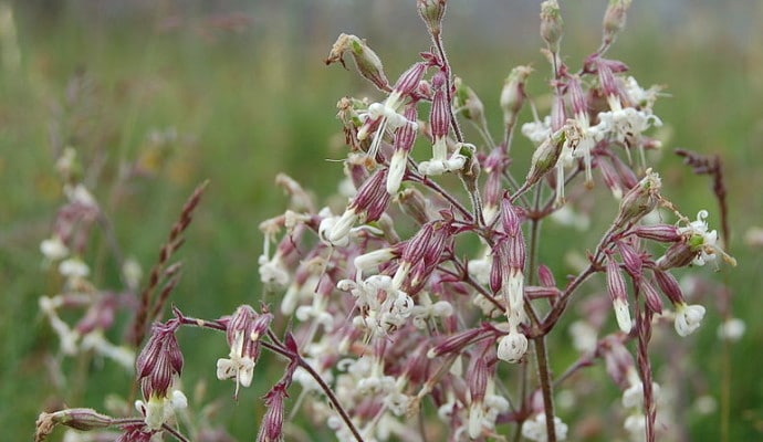
    Photo of white grassland flowers

    Axmouth to Lyme Regis Undercliffs

    Axmouth to Lyme Regis Undercliffs is a magnificent reserve comprising of 304 hectares of coastal landslides and cliffs – one of...
  • Wildlife Sites
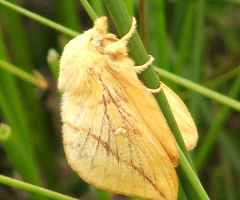
    Photo of a drinker moth

    Trinity Hill

    Trinity Hill is an area of lowland heathland that is rich in wildlife. Heathers that form a wash of colour in...
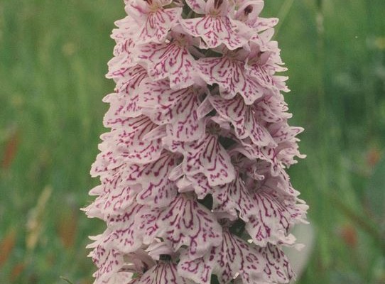
    Photo of a heath spotted orchid

    Pebblebed Heaths

    The magnificent East Devon Pebblebed Heaths complex is the largest block of lowland heath in Devon. The site’s large area and...
    Photo of geese on a lake in marshes

    Bowling Green Marsh (The Exe Estuary)

    Bowling Green Marsh makes up part of the Exe Estuary, an area of international importance for wintering waders and wildfowl. Adjacent...
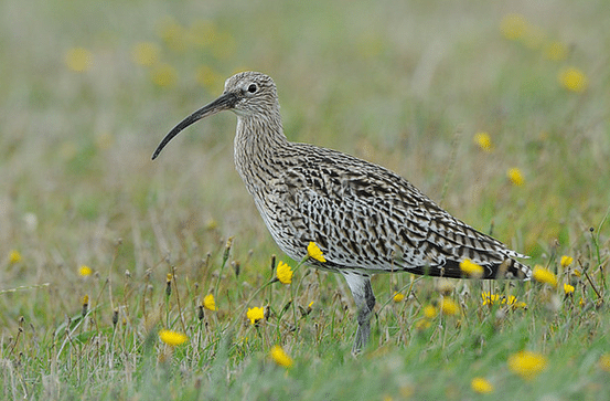
    Photo of a curlew in grassland

    Exminster Marshes (The Exe Estuary)

    Part of the Exe Estuary, Exminster Marshes is an area of international importance for wintering waders and wildfowl. The area consists...
    Photo of white grassland flowers

    Axmouth to Lyme Regis Undercliffs

    Axmouth to Lyme Regis Undercliffs is a magnificent reserve comprising of 304 hectares of coastal landslides and cliffs – one of...
  • Grassland
    Photo of a curlew in grassland

    Exminster Marshes (The Exe Estuary)

    Part of the Exe Estuary, Exminster Marshes is an area of international importance for wintering waders and wildfowl. The area consists...
  • Heaths
    Photo of a drinker moth

    Trinity Hill

    Trinity Hill is an area of lowland heathland that is rich in wildlife. Heathers that form a wash of colour in...
    Photo of a heath spotted orchid

    Pebblebed Heaths

    The magnificent East Devon Pebblebed Heaths complex is the largest block of lowland heath in Devon. The site’s large area and...
  • Geology
    Photo of coastal cliffs with chalk cliffs in the background

    Axmouth to Lyme Regis Undercliffs

    This magnificent 304 hectare nature reserve, managed by Natural England, offers dramatic coastal scenery and is of international importance for its...

Immersive Reader