Accessible walks in Devon

Devon is blessed with the most stunning countryside, a lot of which is accessible to people with limited mobility, those in wheelchairs, families with pushchairs, toddlers on scooters or people who simply prefer a flatter or more easy-going surface without having to clamber over stiles or climb steep slopes.

Several of the disused railway tracks around the county have been converted into leisure trails. These flat and well-surfaced trails lend themselves to a variety of users. Routes include sections of the Granite Way near Okehampton and the Tarka Trail between Braunton and Meeth in North Devon.

Remember that cycle routes in Devon are also intended for use by walkers.  Sections of the Exe Estuary Trail are ideal for wheelchair users, especially between Exmouth and Lympstone where the path has superb views out across the estuary. Nearer Plymouth, the Drakes Trail is a beautiful multi-user route.

You can use the symbols on this website to decide if a particular walk or site of interest is suitable for your accessibility needs. You may also find the following websites useful:
Slapton Sands Memorials

In 1943 some 3000 people were evacuated from the Slapton Sands area of South Devon in order to provide a

Exeter Quay

Exeter’s Quayside situated next to the River Exe and the Exeter Ship Canal is a popular destination for locals and

Exeter Custom House

The Custom House, a nationally important Grade I listed building is located at Exeter Quayside where thousands of tourists flock

Dartmouth Castle

Dartmouth Castle has played a strategic role in protecting the mouth of the Dart Estuary for more than 600 years

Dartmoor Prison and Museum

Dartmoor Prison was built in 1806-9 to house French prisoners of war.  Its construction was partly prompted by the pressures

Beer Head 10 Gun Battery

The beginning of the 19th century was a tense time in Britain, with a fear of invasion caused by political
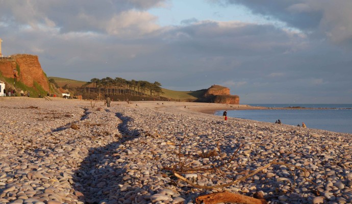
Photo of the view along the beach at Budleigh Salterton
1miles/
1.6kms

Budleigh Salterton and the Otter Estuary

Three Walks using the South West Coast Path that are likely to be suitable for people with impaired mobility or
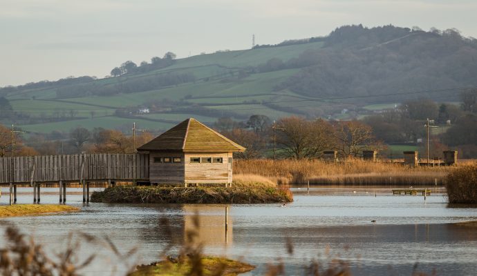
Photo of the bird hide at Seaton Wetlands
2.5miles/
4kms

Discover Seaton Wetlands

Explore Seaton Wetlands and enjoy beautiful marshland and reedbeds alongside the River Axe. There are five bird hides and nearly
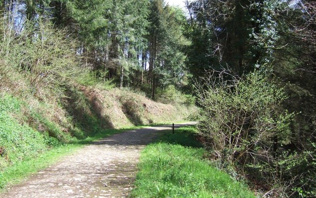
Photo of a track through woodland at Eggesford Forest
3miles/
4.8kms

Eggesford Forest

Eggesford Forest is a great place to visit. It has a network of trails and paths that link the different woodlands
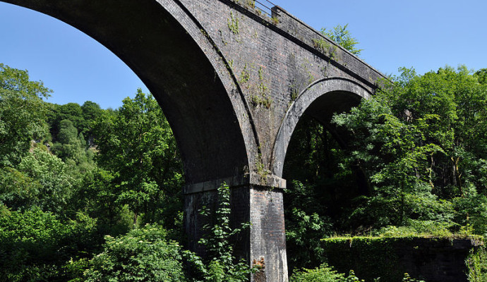
Photo of Cann Viaduct from below
10miles/
16.1kms

Drakes Trail – Plymbridge Woods

Drake’s Trail in West Devon is a 21-mile, multi-use route linking Tavistock with Plymouth. This important part of Devon’s recreational
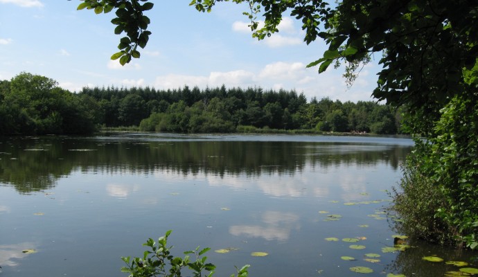
Photo looking out over Stover Lake through trees
2miles/
3.2kms

Stover Country Park

Stover offers a range of facilities to help you enjoy the Park and appreciate the natural surroundings.  Its 114 acres
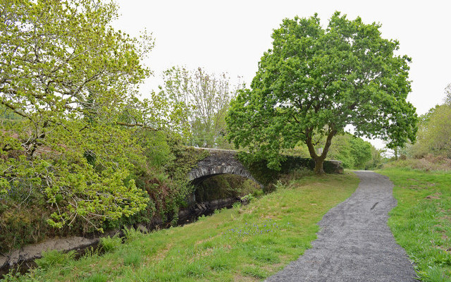
Photo of a tow path and canal with bridge
3miles/
5kms

Drakes Trail – Tavistock to Crowndale

This route, originally built by a special needs group to meet the requirements for the whole family, now forms part of
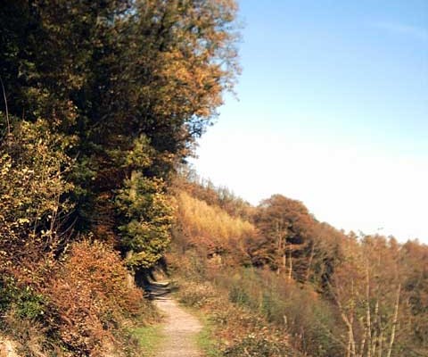
Photo of a path through woodland and heathland at Abbeyford Woods
2miles/
3.2kms

Abbeyford Woods, Okehampton

These stunning woods with spectacular walks have beautifully adapted paths for all. You can take in part of the Tarka
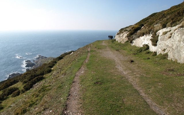
Photo looking down to the sea from the South West Coast Path at Revelstoke Carriage Way
1miles/
1.6kms

Noss Mayo – Revelstoke Carriage Drive

A section of the South West Coast Path uses the Revelstoke Carriage Drive along the cliff tops.  This gives incomparable
Photo looking along the coast over the sea and red rocks to Parsons tunnel at Dawlish
2miles/
3.2kms

Dawlish to Dawlish Warren

Part of the South West Coast Path, this path runs between the pretty town of Dawlish and the National Nature
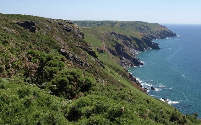
Landscape photo of the South Devon coastal cliffs at Bolberry Down
1.7miles/
2.7kms

Bolberry Down

Bolberry Down has a network of paths running along high cliff tops with great views and providing a choice of
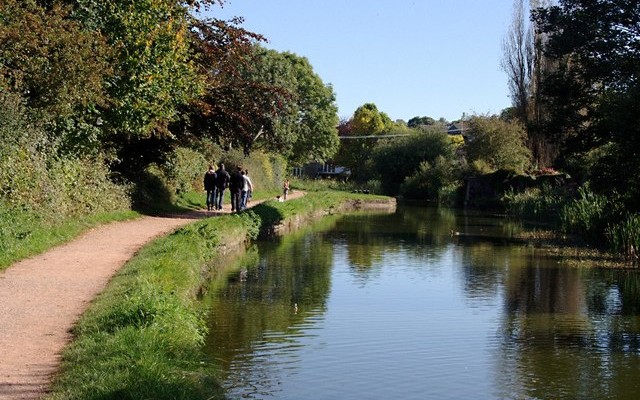
Photo of the Grand Western Canal with walkers on the tow path
3miles/
4.8kms

Grand Western Canal Short Walk

The Grand Western Canal Country Park and Local Nature Reserve meanders through beautiful mid-Devon countryside and quiet villages between Tiverton
Photo of the view along the beach at Budleigh Salterton
2.5miles/
4.2kms

Budleigh to Otterton Mill

A delightful path along the River Otter which meets with other paths at the lower end of the Otter Estuary,
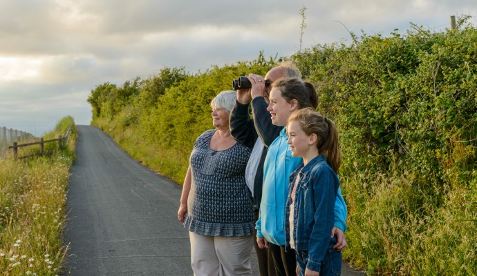
Photo of walkers on the Exe Estuary Trail looking through binoculars
2miles/
3.2kms

Exe Estuary Trail: Exmouth to Lympstone

Exmouth to Lympstone is just one section of the Exe Estuary Trail, a multi-use route being built by Devon County
Photo of the Exeter Ship Canal at Countess Wear
5.25miles/
8.5kms

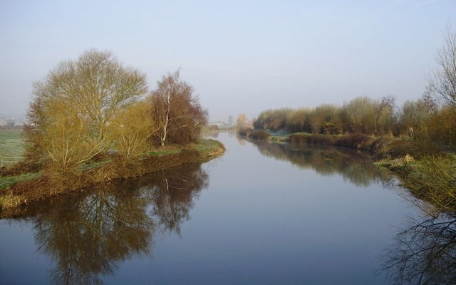
Exeter Ship Canal

Exeter Ship Canal forms part of the Riverside Valley Park, managed by Exeter City Council.  Although the canal is over
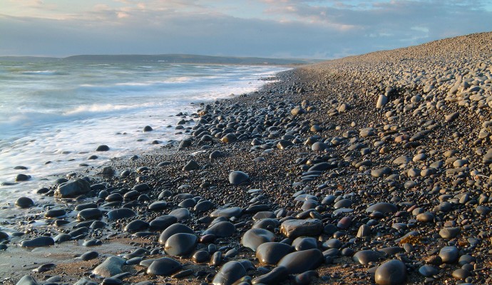
Photo of the shoreline on a pebble beach
1miles/
1.6kms

Northam Burrows Country Park

The Northern Burrows is a scientifically important area which juts out into the mouth of the estuary. It is a
Photo of the top of a waymarking post for the Coast Path and Tarka Trail
23miles/
37kms

Tarka Trail Easy Walk

Entirely traffic free, this part of the Tarka Trail can be enjoyed in sections to suit your group.  This off-road route stretches for
Photo of Ox-eye daisies on cliffs above the sea at Baggy Point
2.7miles/
4.3kms

Baggy Point

The SW Coast path out to a viewpoint at Baggy Point has been levelled and compacted to make access easier